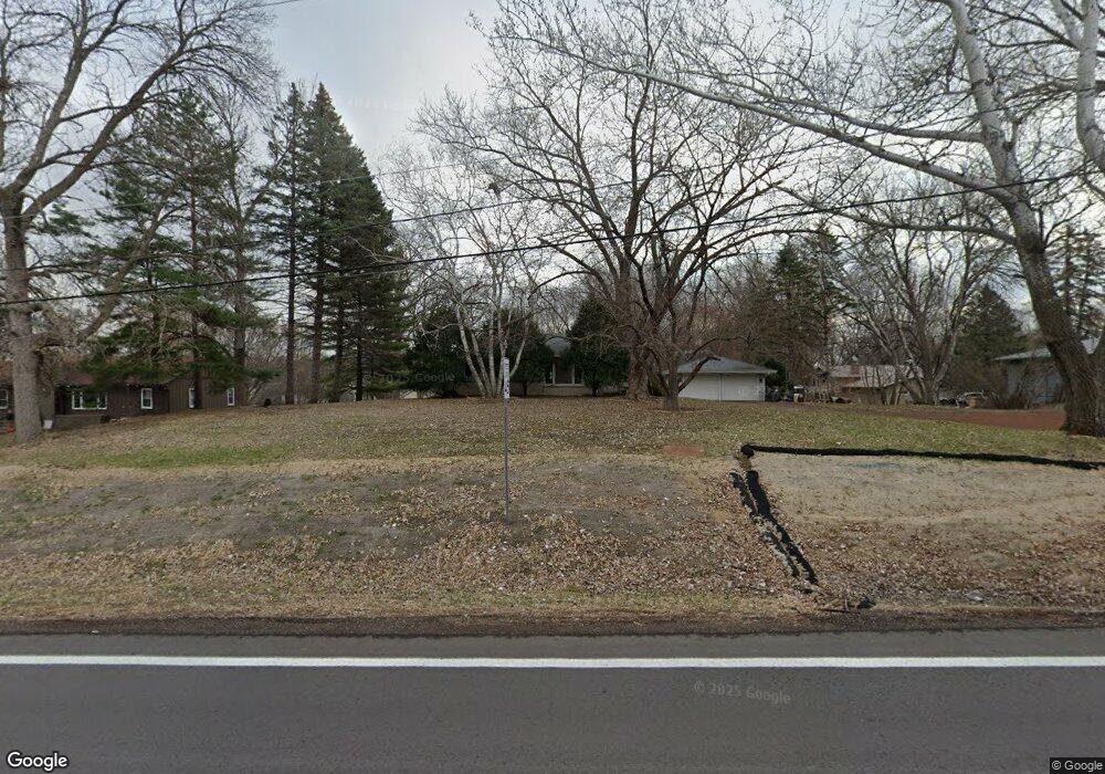
6971 W 192nd Ave Eden Prairie, MN 55346
Estimated Value: $439,974 - $481,000
3
Beds
3
Baths
1,216
Sq Ft
$379/Sq Ft
Est. Value
About This Home
This home is located at 6971 W 192nd Ave, Eden Prairie, MN 55346 and is currently estimated at $461,244, approximately $379 per square foot. 6971 W 192nd Ave is a home located in Hennepin County with nearby schools including Prairie View Elementary School, Central Middle School, and Eden Prairie High School.
Ownership History
Date
Name
Owned For
Owner Type
Purchase Details
Closed on
Jul 15, 2010
Sold by
Moening Kenneth J and Moening Arlene A
Bought by
Knight Lynette M
Current Estimated Value
Home Financials for this Owner
Home Financials are based on the most recent Mortgage that was taken out on this home.
Original Mortgage
$237,747
Outstanding Balance
$158,223
Interest Rate
4.75%
Mortgage Type
FHA
Estimated Equity
$303,021
Create a Home Valuation Report for This Property
The Home Valuation Report is an in-depth analysis detailing your home's value as well as a comparison with similar homes in the area
Home Values in the Area
Average Home Value in this Area
Purchase History
| Date | Buyer | Sale Price | Title Company |
|---|---|---|---|
| Knight Lynette M | $240,950 | -- |
Source: Public Records
Mortgage History
| Date | Status | Borrower | Loan Amount |
|---|---|---|---|
| Open | Knight Lynette M | $237,747 |
Source: Public Records
Tax History Compared to Growth
Tax History
| Year | Tax Paid | Tax Assessment Tax Assessment Total Assessment is a certain percentage of the fair market value that is determined by local assessors to be the total taxable value of land and additions on the property. | Land | Improvement |
|---|---|---|---|---|
| 2024 | $4,172 | $360,500 | $159,200 | $201,300 |
| 2023 | $4,207 | $375,200 | $165,700 | $209,500 |
| 2022 | $3,448 | $346,400 | $153,000 | $193,400 |
| 2021 | $3,208 | $289,400 | $156,500 | $132,900 |
| 2020 | $3,392 | $273,000 | $147,600 | $125,400 |
| 2019 | $3,292 | $278,500 | $150,600 | $127,900 |
| 2018 | $3,188 | $267,900 | $144,900 | $123,000 |
| 2017 | $2,912 | $232,700 | $125,500 | $107,200 |
| 2016 | $2,937 | $232,700 | $125,500 | $107,200 |
| 2015 | $2,879 | $220,700 | $119,000 | $101,700 |
| 2014 | -- | $204,400 | $110,200 | $94,200 |
Source: Public Records
Map
Nearby Homes
- 7080 Quail Cir
- 18863 Broadmoore Dr
- 18752 Kristie Ln
- 6620 Horseshoe Curve
- 7490 Chanhassen Rd
- 7182 Emerald Ln
- 601 Fox Hill Dr
- 450 Indian Hill Rd
- 460 Indian Hill Rd
- 7602 Erie Ave
- 970 Pleasantview Rd
- 7406 Laredo Dr
- 18890 Barrington Dr
- 17627 W 67th St
- 7239 Bren Ln
- 6260 Wessel Ct
- 6310 Stag Horn Ln
- 6141 Concord Hill Ln
- 303 W 77th St
- 760 Bighorn Dr
- 6971 6971 192nd Ave W
- 6971 6971 192nd-Avenue-w
- 6991 W 192nd Ave
- 6951 W 192nd Ave
- 19070 Lotus View Dr
- 19040 Lotus View Dr
- 19064 Saint Edwards Ct
- 19072 Saint Edwards Ct
- TBD Conifer Trail
- 19155 Maple Leaf Dr
- 20 Sandy Hook Rd
- 19207 Lotus View Dr
- 19107 Lotus View Dr
- 19048 Saint Edwards Ct
- 18960 Lotus View Dr
- 6911 W 192nd Ave
- 19067 Saint Edwards Ct
- 19151 Maple Leaf Dr
- 7000 Sandy Hook Cir
- 19147 Maple Leaf Dr