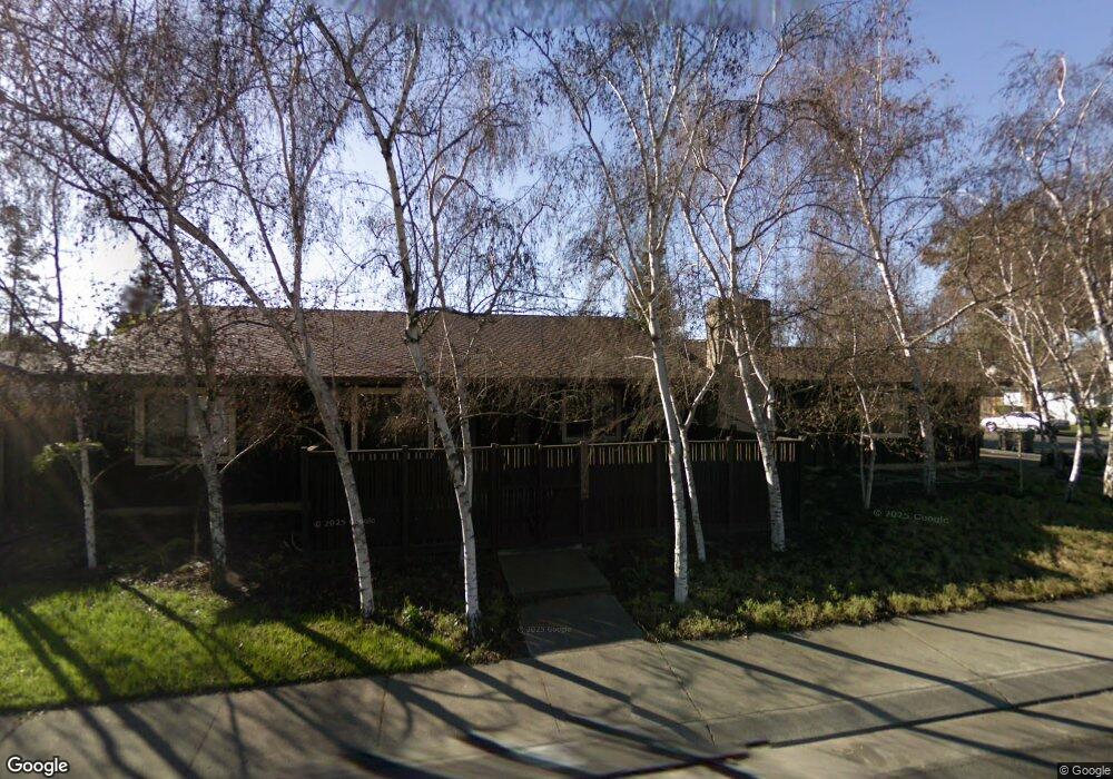
6972 Bridgeport Cir Stockton, CA 95207
Parkwoods NeighborhoodEstimated Value: $364,000 - $476,000
3
Beds
2
Baths
1,651
Sq Ft
$266/Sq Ft
Est. Value
About This Home
This home is located at 6972 Bridgeport Cir, Stockton, CA 95207 and is currently estimated at $439,104, approximately $265 per square foot. 6972 Bridgeport Cir is a home located in San Joaquin County with nearby schools including Tully C. Knoles School, Sierra Middle School, and Lincoln High School.
Ownership History
Date
Name
Owned For
Owner Type
Purchase Details
Closed on
Oct 28, 2020
Sold by
Tinkle Julia M
Bought by
Tinkle Julia M and Pohlman Sharon
Current Estimated Value
Purchase Details
Closed on
Oct 1, 2020
Sold by
Tinkle Harley M and Tinkle Julia M
Bought by
Tinkle Julia M
Purchase Details
Closed on
Dec 9, 1997
Sold by
Pohlman Julia M
Bought by
Tinkle Harley M and Tinkle Julia M
Create a Home Valuation Report for This Property
The Home Valuation Report is an in-depth analysis detailing your home's value as well as a comparison with similar homes in the area
Home Values in the Area
Average Home Value in this Area
Purchase History
| Date | Buyer | Sale Price | Title Company |
|---|---|---|---|
| Tinkle Julia M | -- | None Available | |
| Tinkle Julia M | -- | None Available | |
| Tinkle Harley M | -- | -- |
Source: Public Records
Tax History Compared to Growth
Tax History
| Year | Tax Paid | Tax Assessment Tax Assessment Total Assessment is a certain percentage of the fair market value that is determined by local assessors to be the total taxable value of land and additions on the property. | Land | Improvement |
|---|---|---|---|---|
| 2025 | $2,215 | $164,161 | $50,501 | $113,660 |
| 2024 | $2,186 | $160,943 | $49,511 | $111,432 |
| 2023 | $2,191 | $157,789 | $48,541 | $109,248 |
| 2022 | $1,995 | $154,696 | $47,590 | $107,106 |
| 2021 | $1,970 | $151,663 | $46,657 | $105,006 |
| 2020 | $1,856 | $150,109 | $46,179 | $103,930 |
| 2019 | $1,828 | $147,167 | $45,274 | $101,893 |
| 2018 | $1,796 | $144,283 | $44,387 | $99,896 |
| 2017 | $1,761 | $141,455 | $43,517 | $97,938 |
| 2016 | $1,743 | $138,682 | $42,664 | $96,018 |
| 2014 | $1,704 | $133,924 | $41,200 | $92,724 |
Source: Public Records
Map
Nearby Homes
- 7011 Shoreham Place
- 6724 Plymouth Rd Unit 90
- 6724 Plymouth Rd Unit 54
- 2737 Birch Ave
- 2513 Hazelwood Ave
- 7223 Westland Dr
- 2618 Buttonwillow Ave
- 7303 Southfield Way
- 2653 Jasmine Ave
- 6845 Shiloh Ct
- 6947 Shiloh Place
- 6827 Shiloh Ct
- 3265 Shoreline Ct
- 7513 Richland Way
- 7626 Richland Way
- 2921 Rutledge Ct
- 6406 Grigsby Place
- 2708 Madrone Ave
- 2140 Pennington Ct
- 6415 Plymouth Rd
- 6960 Plymouth Rd
- 7002 Bridgeport Cir
- 7004 Bridgeport Cir
- 6948 Plymouth Rd
- 2906 Malvern Ct
- 2903 Whittier Ct
- 7006 Bridgeport Cir
- 7070 Bridgeport Cir
- 2905 Whittier Ct Unit 24
- 6938 Plymouth Rd
- 7068 Bridgeport Cir
- 2918 Malvern Ct
- 2907 Malvern Ct
- 2915 Whittier Ct
- 7072 Plymouth Rd
- 2930 Malvern Ct
- 6926 Plymouth Rd
- 7066 Bridgeport Cir
- 7003 Bridgeport Cir