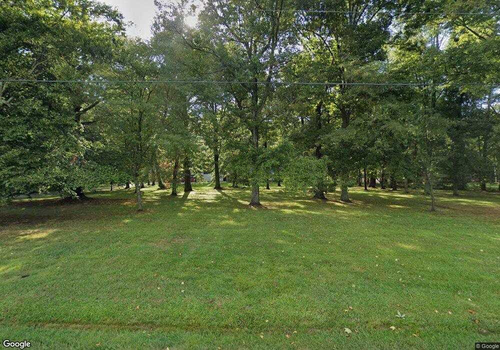
6972 S 400 W Columbus, IN 47201
Estimated Value: $423,000 - $820,000
3
Beds
3
Baths
4,032
Sq Ft
$141/Sq Ft
Est. Value
About This Home
This home is located at 6972 S 400 W, Columbus, IN 47201 and is currently estimated at $569,808, approximately $141 per square foot. 6972 S 400 W is a home located in Bartholomew County with nearby schools including Mount Healthy Elementary School, Central Middle School, and Columbus North High School.
Ownership History
Date
Name
Owned For
Owner Type
Purchase Details
Closed on
Sep 30, 2020
Sold by
Brownfield Kirk D and Brownfield Carol A
Bought by
Kushner Kurt S
Current Estimated Value
Purchase Details
Closed on
Jan 9, 2020
Sold by
Neidinger Ft
Bought by
Brownfield Kirk D and Brownfield Carol A
Purchase Details
Closed on
Feb 27, 2007
Sold by
Neidinger William K
Bought by
Kaucher Marie and Neidinger Family Trust
Create a Home Valuation Report for This Property
The Home Valuation Report is an in-depth analysis detailing your home's value as well as a comparison with similar homes in the area
Home Values in the Area
Average Home Value in this Area
Purchase History
| Date | Buyer | Sale Price | Title Company |
|---|---|---|---|
| Kushner Kurt S | $389,900 | First American Title Insurance | |
| Kushner Kurt S | $389,900 | First American Title Insurance | |
| Brownfield Kirk D | -- | None Available | |
| Brownfield Kirk O | -- | None Available | |
| Kaucher Marie | -- | None Available | |
| Kaucher Marie | -- | None Available |
Source: Public Records
Tax History Compared to Growth
Tax History
| Year | Tax Paid | Tax Assessment Tax Assessment Total Assessment is a certain percentage of the fair market value that is determined by local assessors to be the total taxable value of land and additions on the property. | Land | Improvement |
|---|---|---|---|---|
| 2024 | $3,542 | $399,300 | $36,700 | $362,600 |
| 2023 | $3,365 | $377,600 | $36,600 | $341,000 |
| 2022 | $3,193 | $332,300 | $36,400 | $295,900 |
| 2021 | $3,091 | $315,600 | $36,400 | $279,200 |
| 2020 | $839 | $86,300 | $54,100 | $32,200 |
| 2019 | $1,272 | $205,800 | $54,100 | $151,700 |
| 2018 | $1,589 | $196,800 | $54,100 | $142,700 |
| 2017 | $1,584 | $189,600 | $47,100 | $142,500 |
| 2016 | $1,451 | $184,100 | $47,100 | $137,000 |
| 2014 | $1,232 | $166,500 | $33,200 | $133,300 |
Source: Public Records
Map
Nearby Homes
- 6951 W 450 S
- 7260 W Deaver Rd
- 5403 S Vine St
- Lot 18 S Vine St
- 5044 S Vine St
- 8087 W 300 S
- 8660 W 300 S
- 9635 W 450 S
- 5320 W 200 S
- 2436 Creek Bank Dr
- 3101 Red Fox Cir
- 2437 Creekland Dr
- 3901 Terrace Woods Dr
- 1691 Wrenwood Dr
- 2498 Shadow Bend Dr
- 2847 Macintosh
- 2323 Shadow Bend Dr
- 2509 Orchard Creek Dr
- 1997 Tipton Point Ct
- 13525 W 700 S
