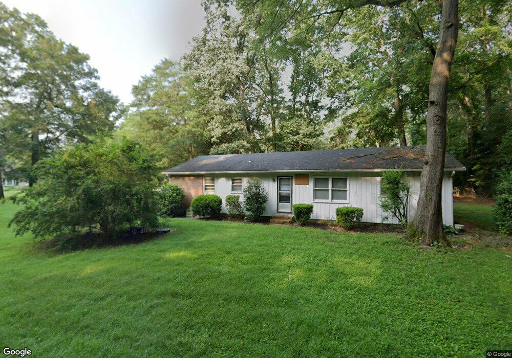
6978 Atlanta Cir Seaford, DE 19973
Estimated Value: $286,000 - $342,000
3
Beds
--
Bath
1,408
Sq Ft
$221/Sq Ft
Est. Value
About This Home
This home is located at 6978 Atlanta Cir, Seaford, DE 19973 and is currently estimated at $311,666, approximately $221 per square foot. 6978 Atlanta Cir is a home located in Sussex County with nearby schools including Seaford Central Elementary School, Frederick Douglass Elementary School, and Seaford Middle School.
Ownership History
Date
Name
Owned For
Owner Type
Purchase Details
Closed on
May 24, 2012
Sold by
Donald L Donald L
Bought by
Seeley George R and Seeley Michele D
Current Estimated Value
Home Financials for this Owner
Home Financials are based on the most recent Mortgage that was taken out on this home.
Original Mortgage
$153,061
Outstanding Balance
$106,048
Interest Rate
3.9%
Mortgage Type
Unknown
Estimated Equity
$205,618
Purchase Details
Closed on
Nov 8, 2011
Sold by
Perkins Douglas L and Perkins Roger L
Bought by
Donald L Ward Trustee Uad 92192
Purchase Details
Closed on
Nov 4, 2011
Sold by
Perkins Douglas L and Perkins Roger L
Bought by
Donald L Ward Trustee Uad 92192
Create a Home Valuation Report for This Property
The Home Valuation Report is an in-depth analysis detailing your home's value as well as a comparison with similar homes in the area
Home Values in the Area
Average Home Value in this Area
Purchase History
| Date | Buyer | Sale Price | Title Company |
|---|---|---|---|
| Seeley George R | $150,000 | -- | |
| Donald L Ward Trustee Uad 92192 | $75,200 | -- | |
| Donald L Ward Trustee Uad 92192 | $75,200 | -- |
Source: Public Records
Mortgage History
| Date | Status | Borrower | Loan Amount |
|---|---|---|---|
| Open | Seeley George R | $153,061 |
Source: Public Records
Tax History Compared to Growth
Tax History
| Year | Tax Paid | Tax Assessment Tax Assessment Total Assessment is a certain percentage of the fair market value that is determined by local assessors to be the total taxable value of land and additions on the property. | Land | Improvement |
|---|---|---|---|---|
| 2025 | $884 | $16,350 | $2,150 | $14,200 |
| 2024 | $818 | $16,350 | $2,150 | $14,200 |
| 2023 | $817 | $16,350 | $2,150 | $14,200 |
| 2022 | $797 | $16,350 | $2,150 | $14,200 |
| 2021 | $800 | $16,350 | $2,150 | $14,200 |
| 2020 | $867 | $16,350 | $2,150 | $14,200 |
| 2019 | $759 | $16,350 | $2,150 | $14,200 |
| 2018 | $740 | $16,350 | $0 | $0 |
| 2017 | $702 | $16,350 | $0 | $0 |
| 2016 | $677 | $16,350 | $0 | $0 |
| 2015 | $676 | $16,350 | $0 | $0 |
| 2014 | -- | $16,350 | $0 | $0 |
Source: Public Records
Map
Nearby Homes
- 6998 Atlanta Cir
- 1403 Tomlinson Dr
- 6873 Robin Dr
- 1102 Wythe Ln
- 23075 Atlanta Rd
- 413 Plantation Dr
- 312 Plantation Dr
- Fairfield Slab Plan at Belle Ayre
- Pembroke Slab Plan at Belle Ayre
- Princeton Slab Plan at Belle Ayre
- Charleston Slab Plan at Belle Ayre
- Hanover Slab Plan at Belle Ayre
- 1123 Magnolia Dr
- 22502 Atlanta Rd
- 501 Chatham Dr
- 131 Belle Ayre Dr
- 0 Helens Ln
- 23849 Ross Station Rd
- 175 Pond View Ln
- 179 Pond View Ln
- 6988 Atlanta Cir
- 6979 Atlanta Cir
- 1219 Atlanta Cir
- 1219 Atlanta Cir
- 6993 Atlanta Cir
- 1223 Atlanta Cir
- 6968 Atlanta Cir
- 7003 Atlanta Cir
- 7012 Atlanta Cir
- 6943 Atlanta Cir
- Lot #1 N Atlanta Cir
- 6929 Robin Dr
- 1405 Tomlinson Dr
- 7015 Atlanta Cir
- 7015 Atlanta Cir
- 7015 Atlanta Cir
- 7015 Atlanta Cir
- 6958 Atlanta Cir
- 1227 Atlanta Cir
- 1227 N Atlanta Cir