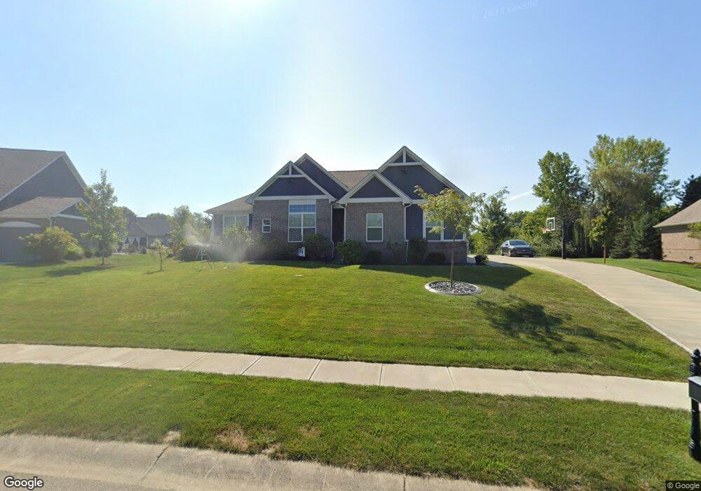
6978 S Foster Ridge Ct Pendleton, IN 46064
Estimated Value: $535,000 - $607,000
4
Beds
3
Baths
3,165
Sq Ft
$181/Sq Ft
Est. Value
About This Home
This home is located at 6978 S Foster Ridge Ct, Pendleton, IN 46064 and is currently estimated at $573,691, approximately $181 per square foot. 6978 S Foster Ridge Ct is a home with nearby schools including Pendleton Heights High School.
Ownership History
Date
Name
Owned For
Owner Type
Purchase Details
Closed on
Mar 28, 2019
Sold by
Silverthorne Homes
Bought by
Sauders Brian L
Current Estimated Value
Home Financials for this Owner
Home Financials are based on the most recent Mortgage that was taken out on this home.
Original Mortgage
$333,388
Outstanding Balance
$211,180
Interest Rate
4.3%
Mortgage Type
New Conventional
Estimated Equity
$362,511
Purchase Details
Closed on
Nov 9, 2018
Sold by
Sauders Brian
Bought by
Homes Silverthorne
Purchase Details
Closed on
May 31, 2018
Sold by
Stephen Frank
Bought by
Brian Sauders
Create a Home Valuation Report for This Property
The Home Valuation Report is an in-depth analysis detailing your home's value as well as a comparison with similar homes in the area
Home Values in the Area
Average Home Value in this Area
Purchase History
| Date | Buyer | Sale Price | Title Company |
|---|---|---|---|
| Sauders Brian L | -- | None Available | |
| Homes Silverthorne | -- | None Available | |
| Brian Sauders | $49,500 | -- |
Source: Public Records
Mortgage History
| Date | Status | Borrower | Loan Amount |
|---|---|---|---|
| Open | Sauders Brian L | $333,388 |
Source: Public Records
Tax History Compared to Growth
Tax History
| Year | Tax Paid | Tax Assessment Tax Assessment Total Assessment is a certain percentage of the fair market value that is determined by local assessors to be the total taxable value of land and additions on the property. | Land | Improvement |
|---|---|---|---|---|
| 2025 | $4,402 | $440,200 | $83,800 | $356,400 |
| 2024 | $4,402 | $440,200 | $83,800 | $356,400 |
| 2023 | $4,062 | $406,200 | $79,800 | $326,400 |
| 2022 | $4,074 | $406,400 | $79,800 | $326,600 |
| 2021 | $3,652 | $365,200 | $60,000 | $305,200 |
| 2020 | $3,603 | $347,300 | $57,100 | $290,200 |
| 2019 | $3,388 | $337,800 | $57,100 | $280,700 |
| 2018 | $450 | $16,000 | $16,000 | $0 |
Source: Public Records
Map
Nearby Homes
- 5757 Bancroft Dr
- 5758 Bancroft Dr
- 5752 Bancroft Dr
- 7145 Theo Baker Blvd
- 7121 Theo Baker Blvd
- 5746 Bancroft Dr
- 7105 Theo Baker Blvd
- 7153 Theo Baker Blvd
- 5740 Bancroft Dr
- 7129 Theo Baker Blvd
- 5734 Bancroft Dr
- Fairfax Plan at Baker's Pointe
- Henley Plan at Baker's Pointe
- Chatham Plan at Baker's Pointe
- Johnstown Plan at Baker's Pointe
- Dayton Plan at Baker's Pointe
- Stamford Plan at Baker's Pointe
- Cortland Plan at Baker's Pointe
- 6696 Blackthorne Dr
- 8174 Ambrosia Ln
- 6974 S Foster Ridge Ct
- 6982 S Foster Ridge Ct
- Lot 31 Foster Branch Ridge
- Lot 30 Foster Branch Ridge
- Lot 28 Foster Branch Ridge
- Lot 27 Foster Branch Ridge
- Lot 25 Foster Branch Ridge
- Lot 24 Foster Branch Ridge
- Lot 21 Foster Branch Ridge
- Lot 16 Foster Branch Ridge
- Lot 9 Foster Branch Ridge
- Lot 8 Foster Branch Ridge
- Lot 7 Foster Branch Ridge
- Lot 6 Foster Branch Ridge
- Lot 3 Foster Branch Ridge
- 6981 S Lakeview Ct
- 6995 S Lakeview Ct
- LOT 21 Foster Ridge Ct
- LOT 20 Foster Ridge Ct
- LOT 19 Foster Ridge Ct