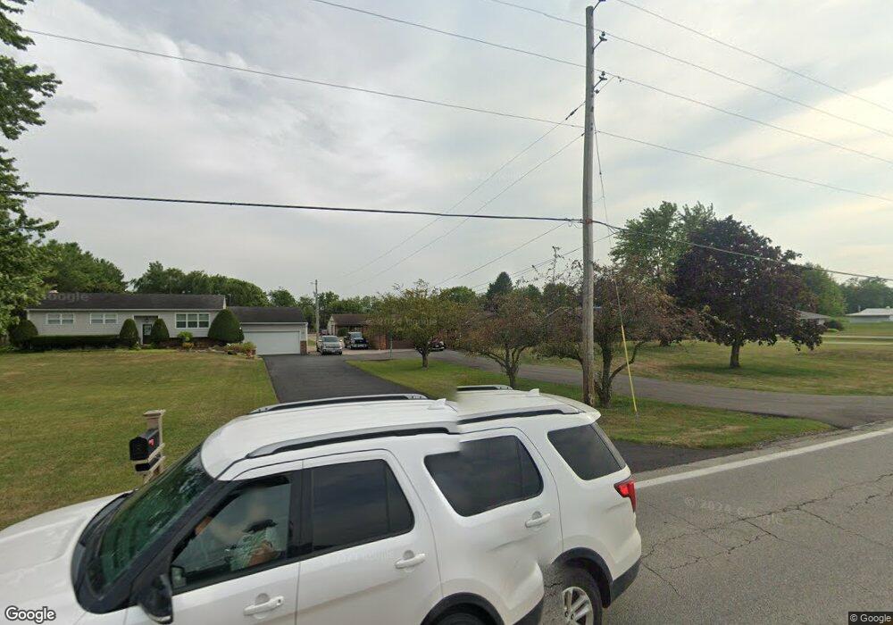
6981 State Route 762 Orient, OH 43146
Estimated Value: $382,149 - $655,000
4
Beds
4
Baths
1,784
Sq Ft
$268/Sq Ft
Est. Value
About This Home
This home is located at 6981 State Route 762, Orient, OH 43146 and is currently estimated at $477,787, approximately $267 per square foot. 6981 State Route 762 is a home located in Pickaway County.
Ownership History
Date
Name
Owned For
Owner Type
Purchase Details
Closed on
Dec 30, 2011
Sold by
Myers Edward T and Myers Jody
Bought by
Orahood Gary D and Orahood Kelly M
Current Estimated Value
Home Financials for this Owner
Home Financials are based on the most recent Mortgage that was taken out on this home.
Original Mortgage
$258,282
Interest Rate
3.75%
Mortgage Type
FHA
Create a Home Valuation Report for This Property
The Home Valuation Report is an in-depth analysis detailing your home's value as well as a comparison with similar homes in the area
Home Values in the Area
Average Home Value in this Area
Purchase History
| Date | Buyer | Sale Price | Title Company |
|---|---|---|---|
| Orahood Gary D | $265,000 | Real Living Title Arlington |
Source: Public Records
Mortgage History
| Date | Status | Borrower | Loan Amount |
|---|---|---|---|
| Closed | Orahood Gary D | $258,282 |
Source: Public Records
Tax History
| Year | Tax Paid | Tax Assessment Tax Assessment Total Assessment is a certain percentage of the fair market value that is determined by local assessors to be the total taxable value of land and additions on the property. | Land | Improvement |
|---|---|---|---|---|
| 2025 | $5,621 | $108,920 | $21,200 | $87,720 |
| 2024 | $5,621 | $108,920 | $21,200 | $87,720 |
| 2023 | $4,099 | $108,920 | $21,200 | $87,720 |
| 2022 | $3,387 | $82,640 | $14,140 | $68,500 |
| 2021 | $3,397 | $82,640 | $14,140 | $68,500 |
| 2020 | $3,398 | $82,640 | $14,140 | $68,500 |
| 2019 | $2,558 | $67,670 | $13,430 | $54,240 |
| 2018 | $2,640 | $67,670 | $13,430 | $54,240 |
| 2017 | $2,709 | $67,670 | $13,430 | $54,240 |
| 2016 | $2,249 | $56,080 | $11,670 | $44,410 |
| 2015 | $2,251 | $56,080 | $11,670 | $44,410 |
| 2014 | $2,253 | $56,080 | $11,670 | $44,410 |
| 2013 | $2,125 | $50,840 | $11,670 | $39,170 |
Source: Public Records
Map
Nearby Homes
- 289 Arledge Dr
- 24 Erin Hills Rd
- 290 Olympic Loop
- 359 Oakmont Dr
- 62 Chambers Bay Rd
- 298 Shady Hollow Dr
- 304 Cherry Hills Rd
- 56 Chambers Bay Rd
- 358 Oakmont Dr
- 161 Chestnut Estates Dr
- 182 Honey Locust Ln
- 239 Peters Run Ct
- 66 Genoa Cir
- 159 Chestnut Commons Dr
- 52 Genoa Cir
- 161 Rosewood Loop SE
- 155 Walnut Creek Dr
- 422 Lockbay Rd
- 190 Rosewood Loop SW
- 10951 Borror Rd Unit Lot 33
- 6959 State Route 762
- 6987 State Route 762
- 6939 State Route 762
- 6991 State Route 762
- 6925 State Route 762
- 6901 State Route 762
- 7071 State Route 762
- 115 Main St
- 113 Main St
- 5490 State Route 762
- 111 Main St
- 7140 State Route 762
- 154 Butternut Pass
- 7265 State Route 762
- 156 Butternut Pass
- 152 Butternut Pass
- 158 Butternut Pass
- 160 Butternut Pass
- 162 Butternut Pass
- 150 Butternut Pass
Your Personal Tour Guide
Ask me questions while you tour the home.