Estimated Value: $270,000 - $392,615
4
Beds
2
Baths
2,095
Sq Ft
$157/Sq Ft
Est. Value
About This Home
This home is located at 6985 160th Ave, Olin, IA 52320 and is currently estimated at $329,404, approximately $157 per square foot. 6985 160th Ave is a home located in Jones County with nearby schools including Olin Elementary School.
Ownership History
Date
Name
Owned For
Owner Type
Purchase Details
Closed on
Jul 25, 2012
Sold by
Mcpherson Timothy J and Mcpherson Jean A
Bought by
Long Tyler J and Long Elizabeth L
Current Estimated Value
Home Financials for this Owner
Home Financials are based on the most recent Mortgage that was taken out on this home.
Original Mortgage
$22,000
Interest Rate
3.73%
Mortgage Type
Purchase Money Mortgage
Create a Home Valuation Report for This Property
The Home Valuation Report is an in-depth analysis detailing your home's value as well as a comparison with similar homes in the area
Purchase History
| Date | Buyer | Sale Price | Title Company |
|---|---|---|---|
| Long Tyler J | $170,000 | None Available |
Source: Public Records
Mortgage History
| Date | Status | Borrower | Loan Amount |
|---|---|---|---|
| Closed | Long Tyler J | $22,000 |
Source: Public Records
Tax History
| Year | Tax Paid | Tax Assessment Tax Assessment Total Assessment is a certain percentage of the fair market value that is determined by local assessors to be the total taxable value of land and additions on the property. | Land | Improvement |
|---|---|---|---|---|
| 2025 | $2,636 | $327,370 | $88,130 | $239,240 |
| 2024 | $2,636 | $270,490 | $45,000 | $225,490 |
| 2023 | $2,704 | $270,490 | $45,000 | $225,490 |
| 2022 | $2,200 | $185,700 | $7,010 | $178,690 |
| 2021 | $2,200 | $185,700 | $7,010 | $178,690 |
| 2020 | $2,086 | $169,460 | $7,010 | $162,450 |
| 2019 | $2,206 | $169,460 | $7,010 | $162,450 |
| 2018 | $2,246 | $172,010 | $16,500 | $155,510 |
| 2017 | $2,246 | $172,010 | $16,500 | $155,510 |
| 2016 | $2,526 | $162,290 | $0 | $0 |
| 2015 | $2,526 | $154,210 | $0 | $0 |
| 2014 | $2,450 | $154,210 | $0 | $0 |
| 2013 | $2,370 | $154,210 | $14,500 | $139,710 |
Source: Public Records
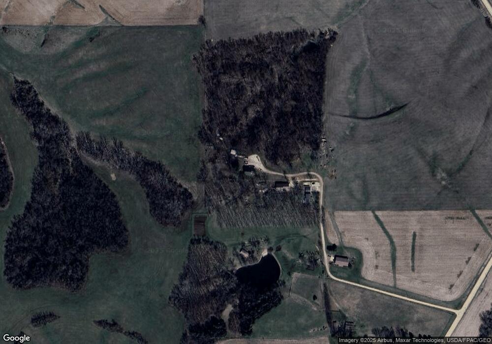
Map
Nearby Homes
- 404 Highland St
- 109 W Cleveland St
- 302 Walnut St
- 9174 207th Ave
- 128 Woodridge Rd
- 10487 Shaw Rd
- 108 Wood Ridge Rd
- 19576 Lake View Rd
- 21535 78th St
- 7997 218th Ave
- 8063 218th Ave
- 1611 Breca Ridge Dr Unit 4
- 508 Rosemary Ln
- 473 Chamber Dr
- 915226002 Parcel, Lot 4 Wapsi Ridge
- 1108 E 3rd St
- 149 Country Club Ct
- 1000 E 3rd St
- 611 E 1st St
- 103 N Oak St
Your Personal Tour Guide
Ask me questions while you tour the home.