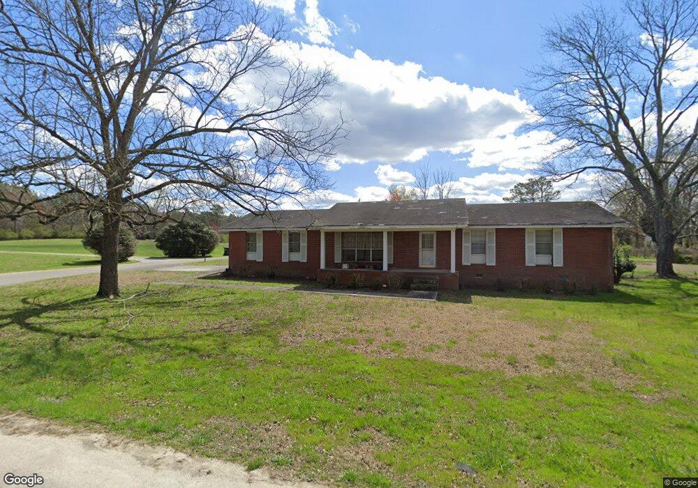
699 Graham Cir Rock Spring, GA 30739
Rock Spring NeighborhoodEstimated Value: $223,504 - $280,000
--
Bed
2
Baths
1,484
Sq Ft
$168/Sq Ft
Est. Value
About This Home
This home is located at 699 Graham Cir, Rock Spring, GA 30739 and is currently estimated at $249,126, approximately $167 per square foot. 699 Graham Cir is a home located in Walker County with nearby schools including Rock Spring Elementary School, Lafayette High School, and Alice M Daley Adventist School.
Ownership History
Date
Name
Owned For
Owner Type
Purchase Details
Closed on
Aug 28, 1978
Sold by
Harrington David A and Harrington Carman
Bought by
Pierce Ronald W and Pierce Margaret
Current Estimated Value
Purchase Details
Closed on
Apr 24, 1973
Sold by
Mathis Miles A and Wf Frances L
Bought by
Harrington David A and Harrington Carman
Purchase Details
Closed on
May 11, 1970
Bought by
Mathis Miles A and Wf Frances L
Create a Home Valuation Report for This Property
The Home Valuation Report is an in-depth analysis detailing your home's value as well as a comparison with similar homes in the area
Home Values in the Area
Average Home Value in this Area
Purchase History
| Date | Buyer | Sale Price | Title Company |
|---|---|---|---|
| Pierce Ronald W | -- | -- | |
| Harrington David A | -- | -- | |
| Mathis Miles A | -- | -- |
Source: Public Records
Tax History Compared to Growth
Tax History
| Year | Tax Paid | Tax Assessment Tax Assessment Total Assessment is a certain percentage of the fair market value that is determined by local assessors to be the total taxable value of land and additions on the property. | Land | Improvement |
|---|---|---|---|---|
| 2024 | $1,937 | $85,154 | $8,000 | $77,154 |
| 2023 | $1,891 | $81,246 | $8,000 | $73,246 |
| 2022 | $1,804 | $71,271 | $8,000 | $63,271 |
| 2021 | $1,541 | $54,170 | $8,000 | $46,170 |
| 2020 | $1,351 | $45,072 | $8,000 | $37,072 |
| 2019 | $1,555 | $51,689 | $8,000 | $43,689 |
| 2018 | $1,368 | $51,689 | $8,000 | $43,689 |
| 2017 | $1,697 | $51,689 | $8,000 | $43,689 |
| 2016 | $519 | $51,689 | $8,000 | $43,689 |
| 2015 | $468 | $41,273 | $8,800 | $32,473 |
| 2014 | $369 | $41,273 | $8,800 | $32,473 |
| 2013 | -- | $41,272 | $8,800 | $32,472 |
Source: Public Records
Map
Nearby Homes
- 10180 Us Highway 27
- 5602 Georgia 95
- 00 Georgia 95
- 1003 Highway N Old 27
- 1370 Old Highway 27
- 23 Willow Cir
- 16 Willow Cir
- 11 Willow Cir
- The Pearson Plan at Laurel Ridge
- The Benson II Plan at Laurel Ridge
- The Langford Plan at Laurel Ridge
- The Lawson Plan at Laurel Ridge
- The Coleman Plan at Laurel Ridge
- The McGinnis Plan at Laurel Ridge
- The Caldwell Plan at Laurel Ridge
- 701 Bicentennial Trail
- 0 Veeler Rd Unit 1522679
- 0 Veeler Rd Unit 10628696
- 1902 Long Hollow Rd
- 234 Dad Taylor Dr
- 194 Graham Rd
- 655 Graham Cir
- 14 Graham Cir
- 150 Graham Rd
- 50 Graham Cir
- 0 Graham Cir Unit 1084962
- 0 Graham Cir Unit 1001143
- 545 Graham Cir
- 105 Graham Rd
- 249 Graham Rd
- 45 Graham Cir
- 108 Graham Cir
- 108 Graham Rd
- 698 Graham Cir
- 505 Graham Cir
- 92 Graham Rd
- 83 Graham Rd
- 309 Graham Cir
- 309 Graham Cir
- 118 Graham Cir