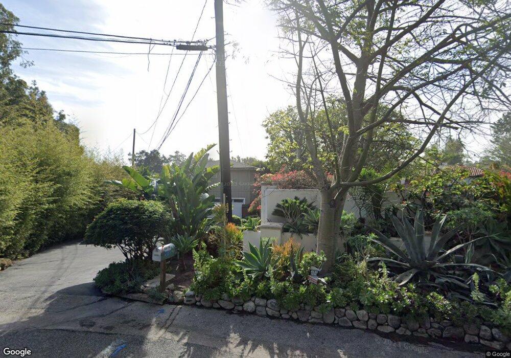
6990 Whitesands Place Malibu, CA 90265
Estimated Value: $4,290,000 - $7,713,405
4
Beds
3
Baths
2,501
Sq Ft
$2,400/Sq Ft
Est. Value
About This Home
This home is located at 6990 Whitesands Place, Malibu, CA 90265 and is currently estimated at $6,002,851, approximately $2,400 per square foot. 6990 Whitesands Place is a home located in Los Angeles County with nearby schools including Malibu Elementary School, Malibu Middle School, and Malibu High School.
Ownership History
Date
Name
Owned For
Owner Type
Purchase Details
Closed on
Feb 3, 2021
Sold by
Diane F Sanson Qualified Personal Reside and Sanson Diane F
Bought by
Diane F Sanson Childrens Trust and Sanson
Current Estimated Value
Purchase Details
Closed on
Apr 16, 2009
Sold by
Sanson Diane F
Bought by
Sanson Diane F and Diane F Sanson Qualified Personal Reside
Purchase Details
Closed on
Jul 9, 2003
Sold by
Sanson Diane F
Bought by
Sanson Diane F and The Diane Sanson Family Trust
Home Financials for this Owner
Home Financials are based on the most recent Mortgage that was taken out on this home.
Original Mortgage
$207,000
Interest Rate
5.15%
Mortgage Type
Purchase Money Mortgage
Purchase Details
Closed on
Dec 23, 2002
Sold by
Sanson Diane F
Bought by
Diane Sanson Family Trust
Purchase Details
Closed on
Jul 10, 2002
Sold by
Sanson Diane F
Bought by
Sanson Diane F and Diane Sanson Family Trust
Home Financials for this Owner
Home Financials are based on the most recent Mortgage that was taken out on this home.
Original Mortgage
$215,100
Interest Rate
6.71%
Purchase Details
Closed on
Jun 28, 2001
Sold by
Sanson Diane F
Bought by
Sanson Diane F and Diane Sanson Family Trust
Purchase Details
Closed on
May 23, 1997
Sold by
Sanson Diane F
Bought by
Sanson Diane F
Home Financials for this Owner
Home Financials are based on the most recent Mortgage that was taken out on this home.
Original Mortgage
$270,000
Interest Rate
8.13%
Purchase Details
Closed on
Jun 7, 1994
Sold by
Sanson Michael B
Bought by
Sanson Diane F
Home Financials for this Owner
Home Financials are based on the most recent Mortgage that was taken out on this home.
Original Mortgage
$250,000
Interest Rate
7.79%
Purchase Details
Closed on
Apr 20, 1994
Sold by
Sanson Michael B
Bought by
Sanson Michael B and Sanson Diane F
Home Financials for this Owner
Home Financials are based on the most recent Mortgage that was taken out on this home.
Original Mortgage
$250,000
Interest Rate
7.79%
Create a Home Valuation Report for This Property
The Home Valuation Report is an in-depth analysis detailing your home's value as well as a comparison with similar homes in the area
Home Values in the Area
Average Home Value in this Area
Purchase History
| Date | Buyer | Sale Price | Title Company |
|---|---|---|---|
| Diane F Sanson Childrens Trust | -- | None Listed On Document | |
| Sanson Diane F | -- | None Available | |
| Sanson Diane F | -- | None Available | |
| Sanson Diane F | -- | Fidelity National Title | |
| Sanson Diane F | -- | Fidelity National Title | |
| Diane Sanson Family Trust | -- | -- | |
| Sanson Diane F | -- | Fidelity National Title | |
| Sanson Diane F | -- | Fidelity National Title Co | |
| Sanson Diane F | -- | -- | |
| Sanson Diane F | -- | Fidelity National Title Co | |
| Sanson Diane F | -- | -- | |
| Sanson Michael B | -- | -- | |
| Sanson Michael B | -- | United Title Company |
Source: Public Records
Mortgage History
| Date | Status | Borrower | Loan Amount |
|---|---|---|---|
| Previous Owner | Sanson Diane F | $207,000 | |
| Previous Owner | Sanson Diane F | $215,100 | |
| Previous Owner | Sanson Diane F | $270,000 | |
| Previous Owner | Sanson Michael B | $250,000 | |
| Closed | Sanson Diane F | $40,000 |
Source: Public Records
Tax History Compared to Growth
Tax History
| Year | Tax Paid | Tax Assessment Tax Assessment Total Assessment is a certain percentage of the fair market value that is determined by local assessors to be the total taxable value of land and additions on the property. | Land | Improvement |
|---|---|---|---|---|
| 2025 | $6,560 | $488,994 | $215,535 | $273,459 |
| 2024 | $6,560 | $479,407 | $211,309 | $268,098 |
| 2023 | $6,397 | $470,008 | $207,166 | $262,842 |
| 2022 | $6,260 | $460,793 | $203,104 | $257,689 |
| 2021 | $6,010 | $451,759 | $199,122 | $252,637 |
| 2020 | $5,972 | $447,128 | $197,081 | $250,047 |
| 2019 | $5,885 | $438,362 | $193,217 | $245,145 |
| 2018 | $5,525 | $429,768 | $189,429 | $240,339 |
| 2016 | $5,290 | $413,081 | $182,074 | $231,007 |
| 2015 | $5,217 | $406,878 | $179,340 | $227,538 |
| 2014 | $5,176 | $398,908 | $175,827 | $223,081 |
Source: Public Records
Map
Nearby Homes
- 28837 Grayfox St
- 28867 Grayfox St
- 6962 Wildlife Rd
- 28820 Cliffside Dr
- 28779 Sea Ranch Way
- 6738 Wildlife Rd
- 6649 Zumirez Dr
- 7059 Fernhill Dr
- 6708 Wildlife Rd
- 6734 Zumirez Dr
- 29000 Cliffside Dr
- 29035 Cliffside Dr
- 7046 Grasswood Ave
- 6672 Zumirez Dr
- 28837 Selfridge Dr
- 7111 Grasswood Ave
- 29122 Cliffside Dr
- 43 Paradise Cove Rd
- 31 Paradise Cove Rd
- 52 Paradise Cove Rd
- 6990 Whitesands Place
- 6957 Whitesands Place
- 6992 Whitesands Place
- 6988 Wildlife Rd
- 6990 Wildlife Rd
- 6950 Whitesands Place
- 28815 Grayfox St
- 6982 Wildlife Rd
- 6945 Whitesands Place
- 28827 Grayfox St
- 28761 Grayfox St
- 28801 Grayfox St
- 6970 Wildlife Rd
- 0 Whitesands Place
- 6921 Whitesands Place
- 28755 Grayfox St
- 28857 Grayfox St
- 6915 Whitesands Place
- 28747 Grayfox St
- 6909 Whitesands Place