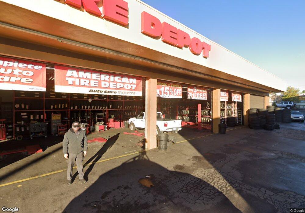
6994 Broadway Lemon Grove, CA 91945
20
Beds
8
Baths
8,950
Sq Ft
0.83
Acres
About This Home
This home is located at 6994 Broadway, Lemon Grove, CA 91945. 6994 Broadway is a home located in San Diego County with nearby schools including Vista La Mesa Academy, Mount Miguel High School, and Darnall Charter School.
Ownership History
Date
Name
Owned For
Owner Type
Purchase Details
Closed on
Dec 24, 2014
Sold by
Kucharski Yvette E
Bought by
Lg Auto Center Llc
Purchase Details
Closed on
May 4, 2011
Sold by
Mba Investments Llc and Kucharski Yvette E
Bought by
Kucharski Yvette E
Purchase Details
Closed on
Apr 20, 2004
Sold by
Kucharski Family Trust
Bought by
Mba Investments Llc
Purchase Details
Closed on
May 22, 2003
Sold by
Kucharski Henry and Kucharski Yvette E
Bought by
Kucharski Family Trust
Purchase Details
Closed on
Jun 28, 1991
Purchase Details
Closed on
Jul 9, 1987
Create a Home Valuation Report for This Property
The Home Valuation Report is an in-depth analysis detailing your home's value as well as a comparison with similar homes in the area
Home Values in the Area
Average Home Value in this Area
Purchase History
| Date | Buyer | Sale Price | Title Company |
|---|---|---|---|
| Lg Auto Center Llc | -- | None Available | |
| Kucharski Yvette E | -- | None Available | |
| Mba Investments Llc | -- | -- | |
| Kucharski Family Trust | -- | -- | |
| -- | $721,900 | -- | |
| -- | $575,000 | -- |
Source: Public Records
Tax History Compared to Growth
Tax History
| Year | Tax Paid | Tax Assessment Tax Assessment Total Assessment is a certain percentage of the fair market value that is determined by local assessors to be the total taxable value of land and additions on the property. | Land | Improvement |
|---|---|---|---|---|
| 2025 | $22,031 | $1,670,451 | $995,247 | $675,204 |
| 2024 | $22,031 | $1,637,698 | $975,733 | $661,965 |
| 2023 | $20,773 | $1,605,587 | $956,601 | $648,986 |
| 2022 | $21,069 | $1,574,106 | $937,845 | $636,261 |
| 2021 | $20,781 | $1,543,242 | $919,456 | $623,786 |
| 2020 | $20,556 | $1,527,419 | $910,029 | $617,390 |
| 2019 | $20,144 | $1,497,471 | $892,186 | $605,285 |
| 2018 | $19,699 | $1,468,110 | $874,693 | $593,417 |
| 2017 | $19,421 | $1,439,325 | $857,543 | $581,782 |
| 2016 | $18,755 | $1,411,104 | $840,729 | $570,375 |
| 2015 | $18,639 | $1,389,909 | $828,101 | $561,808 |
| 2014 | $17,898 | $1,362,683 | $811,880 | $550,803 |
Source: Public Records
Map
Nearby Homes
- 3675 Nassau Dr
- 3255 Massachusetts Ave Unit 57
- 6816 Central Ave Unit 20
- 7001 Lemonwood Ln
- 3144 Vista Ave
- 3246 Citrus St
- 3173 Vista Ave
- 3946 Paula St
- 2745 Mercury Dr
- 3892 Bass St
- 6544 College Grove Dr Unit 68
- 6544 College Grove Dr Unit 71
- 6837 Celia Vista Dr
- 3950 Aragon Dr
- 4002 Violet St
- 4026 Charles St
- 4003 Paula St
- 3906 Murray Hill Rd
- 7423 Daytona St
- 7442 Daytona St
- 6994 6994 Broadway
- 7014 Broadway
- 6914 Federal Blvd
- 17 69th St
- 3611 King St Unit 13
- 3607 King St Unit 9
- 0000 Federal Blvd
- 3615 King St
- 3604 King St
- 2113 69th St
- 3603 King St
- 6929 Federal Blvd
- 3645 King St
- 3614 King St
- 6880 Livingston St
- 3602 Suffolk Dr
- 3605 69th St
- 3660 King St
- 3610 Suffolk Dr
- 6870 Livingston St