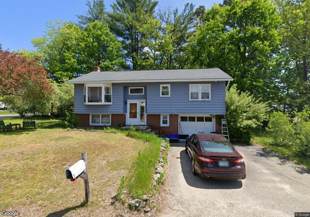
7 Albert St Somersworth, NH 03878
Estimated Value: $413,953 - $442,000
3
Beds
1
Bath
1,636
Sq Ft
$261/Sq Ft
Est. Value
About This Home
This home is located at 7 Albert St, Somersworth, NH 03878 and is currently estimated at $427,738, approximately $261 per square foot. 7 Albert St is a home with nearby schools including Maple Wood Elementary School, Somersworth High School, and Tri-City Christian Academy.
Ownership History
Date
Name
Owned For
Owner Type
Purchase Details
Closed on
Nov 2, 1998
Sold by
Dube Craig J and Dube Christina F
Bought by
Anderson James M and Anderson Andrea C
Current Estimated Value
Home Financials for this Owner
Home Financials are based on the most recent Mortgage that was taken out on this home.
Original Mortgage
$105,931
Interest Rate
6.68%
Create a Home Valuation Report for This Property
The Home Valuation Report is an in-depth analysis detailing your home's value as well as a comparison with similar homes in the area
Home Values in the Area
Average Home Value in this Area
Purchase History
| Date | Buyer | Sale Price | Title Company |
|---|---|---|---|
| Anderson James M | $106,000 | -- | |
| Anderson James M | $106,000 | -- |
Source: Public Records
Mortgage History
| Date | Status | Borrower | Loan Amount |
|---|---|---|---|
| Open | Anderson James M | $208,000 | |
| Closed | Anderson James M | $105,931 |
Source: Public Records
Tax History Compared to Growth
Tax History
| Year | Tax Paid | Tax Assessment Tax Assessment Total Assessment is a certain percentage of the fair market value that is determined by local assessors to be the total taxable value of land and additions on the property. | Land | Improvement |
|---|---|---|---|---|
| 2024 | $6,741 | $360,500 | $100,000 | $260,500 |
| 2023 | $6,534 | $223,000 | $48,400 | $174,600 |
| 2022 | $6,264 | $223,000 | $48,400 | $174,600 |
| 2021 | $6,123 | $222,400 | $48,400 | $174,000 |
| 2020 | $6,194 | $222,400 | $48,400 | $174,000 |
| 2019 | $6,067 | $222,400 | $48,400 | $174,000 |
| 2018 | $5,589 | $167,300 | $59,000 | $108,300 |
| 2017 | $5,536 | $167,300 | $59,000 | $108,300 |
| 2016 | $5,374 | $167,300 | $59,000 | $108,300 |
| 2015 | $5,395 | $167,300 | $59,000 | $108,300 |
| 2014 | $5,210 | $167,300 | $59,000 | $108,300 |
Source: Public Records
Map
Nearby Homes
- 94 Maple St Unit A
- 23 Mount Vernon St
- 18 Grand St
- 29 Chadwick Ln
- 43 Otis Rd
- 178 High St
- 19B Birch Hill Ln Unit 19B
- 18 Lenox Dr Unit C
- 24-26 Highland St
- 23A Birch Hill Ln Unit 23A
- 23B Birch Hill Ln Unit 23B
- 22A Birch Hill Ln Unit 22A
- 22B Birch Hill Ln Unit 22B
- 19A Birch Hill Ln Unit 19A
- 27B Birch Hill Ln Unit 27B
- 159 W High St
- 11 Linden St
- 25 High St
- 1 Bridge St
- 13 Guy St