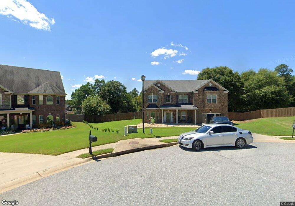
7 Annie Ct Fort Mitchell, AL 36856
Estimated Value: $377,889 - $421,000
5
Beds
4
Baths
4,307
Sq Ft
$91/Sq Ft
Est. Value
About This Home
This home is located at 7 Annie Ct, Fort Mitchell, AL 36856 and is currently estimated at $393,630, approximately $91 per square foot. 7 Annie Ct is a home located in Russell County with nearby schools including Russell County Middle School and Russell County High School.
Ownership History
Date
Name
Owned For
Owner Type
Purchase Details
Closed on
Aug 3, 2023
Bought by
Aquil Garner Bryheem and Charese Toniel
Current Estimated Value
Purchase Details
Closed on
Jul 19, 2018
Sold by
Pittman Jeremiah A
Bought by
Garduno Melissa A and Garduno Jeremy Joseph
Purchase Details
Closed on
Apr 25, 2011
Sold by
Legendary Communities Alabama Llc
Bought by
Pittman Jeremiah A and Pittman Abigail
Home Financials for this Owner
Home Financials are based on the most recent Mortgage that was taken out on this home.
Original Mortgage
$252,656
Interest Rate
4.81%
Mortgage Type
Purchase Money Mortgage
Create a Home Valuation Report for This Property
The Home Valuation Report is an in-depth analysis detailing your home's value as well as a comparison with similar homes in the area
Purchase History
| Date | Buyer | Sale Price | Title Company |
|---|---|---|---|
| Aquil Garner Bryheem | $330,000 | -- | |
| Garduno Melissa A | $275,000 | -- | |
| Pittman Jeremiah A | $262,025 | -- |
Source: Public Records
Mortgage History
| Date | Status | Borrower | Loan Amount |
|---|---|---|---|
| Previous Owner | Pittman Jeremiah A | $252,656 |
Source: Public Records
Tax History
| Year | Tax Paid | Tax Assessment Tax Assessment Total Assessment is a certain percentage of the fair market value that is determined by local assessors to be the total taxable value of land and additions on the property. | Land | Improvement |
|---|---|---|---|---|
| 2024 | $2,447 | $67,960 | $3,900 | $64,060 |
| 2023 | $1,226 | $34,053 | $1,950 | $32,103 |
| 2022 | $1,060 | $30,833 | $1,950 | $28,883 |
| 2021 | $1,044 | $28,982 | $1,950 | $27,032 |
| 2020 | $899 | $26,360 | $1,960 | $24,400 |
| 2019 | $917 | $25,480 | $1,960 | $23,520 |
| 2018 | $844 | $24,840 | $1,960 | $22,880 |
| 2017 | $887 | $24,180 | $1,960 | $22,220 |
| 2016 | $887 | $24,640 | $1,960 | $22,680 |
| 2015 | $799 | $23,583 | $2,600 | $20,983 |
| 2014 | $798 | $23,569 | $2,600 | $20,969 |
Source: Public Records
Map
Nearby Homes
- 77 Riverside Landing
- 22 Cedar Sage Ln
- 23 Cedar Sage Ln
- 9 Cedar Sage Ln
- 26 Cedar Sage Ln
- 16 Cedar Sage Ln
- 37 Gunner Dr
- NA Peacock Dr
- 35 Ridgebrook Dr
- 37 Avery Place
- 0 Tarver Rd
- 62 Avery Place
- 62 Avery Dr
- 190 Sweetwater Branch Rd
- 7 Avalon Ct
- 642 Nuckols Rd
- 70 Apache Trail
- 35 Creek Trail
- 5 Cypress Ct
- 39 Navajo Trail
Your Personal Tour Guide
Ask me questions while you tour the home.