7 Ashworth Dr Auburn, MA 01501
West Auburn NeighborhoodEstimated Value: $509,000 - $587,000
3
Beds
3
Baths
1,670
Sq Ft
$322/Sq Ft
Est. Value
About This Home
This home is located at 7 Ashworth Dr, Auburn, MA 01501 and is currently estimated at $536,951, approximately $321 per square foot. 7 Ashworth Dr is a home located in Worcester County with nearby schools including Auburn Senior High School and Shrewsbury Montessori School - Auburn Campus.
Ownership History
Date
Name
Owned For
Owner Type
Purchase Details
Closed on
Oct 21, 2021
Sold by
Collins Jean E
Bought by
Collins Ft
Current Estimated Value
Purchase Details
Closed on
Mar 30, 2007
Sold by
Collins Jean E and Collins Larry M
Bought by
Collins Jean E
Home Financials for this Owner
Home Financials are based on the most recent Mortgage that was taken out on this home.
Original Mortgage
$240,000
Interest Rate
6.33%
Mortgage Type
Purchase Money Mortgage
Create a Home Valuation Report for This Property
The Home Valuation Report is an in-depth analysis detailing your home's value as well as a comparison with similar homes in the area
Home Values in the Area
Average Home Value in this Area
Purchase History
| Date | Buyer | Sale Price | Title Company |
|---|---|---|---|
| Collins Ft | -- | None Available | |
| Collins Jean E | -- | -- |
Source: Public Records
Mortgage History
| Date | Status | Borrower | Loan Amount |
|---|---|---|---|
| Previous Owner | Collins Jean E | $240,000 |
Source: Public Records
Tax History Compared to Growth
Tax History
| Year | Tax Paid | Tax Assessment Tax Assessment Total Assessment is a certain percentage of the fair market value that is determined by local assessors to be the total taxable value of land and additions on the property. | Land | Improvement |
|---|---|---|---|---|
| 2025 | $64 | $448,000 | $133,100 | $314,900 |
| 2024 | $6,695 | $448,400 | $129,500 | $318,900 |
| 2023 | $6,450 | $406,200 | $117,800 | $288,400 |
| 2022 | $5,991 | $356,200 | $117,800 | $238,400 |
| 2021 | $5,928 | $326,800 | $104,000 | $222,800 |
| 2020 | $5,876 | $326,800 | $104,000 | $222,800 |
| 2019 | $5,587 | $303,300 | $102,800 | $200,500 |
| 2018 | $5,443 | $295,200 | $96,200 | $199,000 |
| 2017 | $5,260 | $286,800 | $87,800 | $199,000 |
| 2016 | $5,029 | $278,000 | $90,200 | $187,800 |
| 2015 | $4,776 | $276,700 | $90,200 | $186,500 |
| 2014 | $4,499 | $260,200 | $86,000 | $174,200 |
Source: Public Records
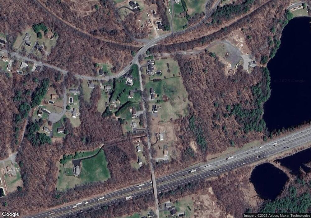
Map
Nearby Homes
- 620 Henshaw St
- 19 Virginia Dr Unit 19
- 23 Thayer Pond Dr Unit 1
- 6 Ryans Way Unit 6
- 24 Thayer Pond Dr Unit 16
- 28 Thayer Pond Dr Unit 12
- 34 Thayer Pond Dr Unit 8
- 1098 Stafford St Unit 9
- 748-A Stafford St
- 48 Appleton Rd
- 808 Washington St
- 0 Athens St
- 45 Leicester St
- 217 Prospect St
- 2 Sherman Ave
- 31-37 Leicester St
- 20 Leicester St
- 4 Linden Ln
- 27 W Applewood Dr
- 21 Linda Ave