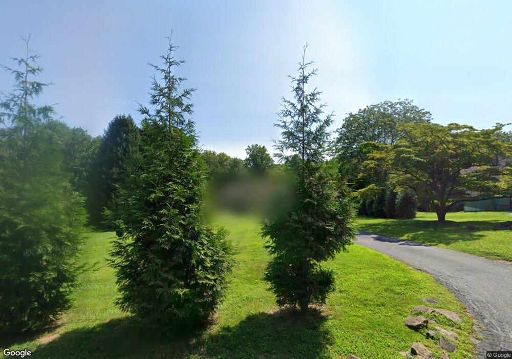
7 Black Rock Rd Chadds Ford, PA 19317
Estimated Value: $725,000 - $958,000
3
Beds
3
Baths
2,764
Sq Ft
$293/Sq Ft
Est. Value
About This Home
This home is located at 7 Black Rock Rd, Chadds Ford, PA 19317 and is currently estimated at $809,472, approximately $292 per square foot. 7 Black Rock Rd is a home located in Chester County with nearby schools including Kennett Middle School, Kennett High School, and St. Patrick School.
Ownership History
Date
Name
Owned For
Owner Type
Purchase Details
Closed on
Jun 23, 2020
Sold by
Noji Leslie I and Estate Of Anthony Leounes Jr
Bought by
Wade Michael Patrick and Greene Jamie Ann
Current Estimated Value
Home Financials for this Owner
Home Financials are based on the most recent Mortgage that was taken out on this home.
Original Mortgage
$352,000
Outstanding Balance
$311,434
Interest Rate
3.1%
Mortgage Type
New Conventional
Estimated Equity
$498,038
Purchase Details
Closed on
Apr 1, 1985
Bought by
Leounes Anthony and Leounes Catherine
Create a Home Valuation Report for This Property
The Home Valuation Report is an in-depth analysis detailing your home's value as well as a comparison with similar homes in the area
Home Values in the Area
Average Home Value in this Area
Purchase History
| Date | Buyer | Sale Price | Title Company |
|---|---|---|---|
| Wade Michael Patrick | $440,000 | Trident Land Transfer Co Lp | |
| Leounes Anthony | $34,900 | -- |
Source: Public Records
Mortgage History
| Date | Status | Borrower | Loan Amount |
|---|---|---|---|
| Open | Wade Michael Patrick | $352,000 |
Source: Public Records
Tax History Compared to Growth
Tax History
| Year | Tax Paid | Tax Assessment Tax Assessment Total Assessment is a certain percentage of the fair market value that is determined by local assessors to be the total taxable value of land and additions on the property. | Land | Improvement |
|---|---|---|---|---|
| 2025 | $10,372 | $254,360 | $51,630 | $202,730 |
| 2024 | $10,372 | $254,360 | $51,630 | $202,730 |
| 2023 | $10,171 | $254,360 | $51,630 | $202,730 |
| 2022 | $9,900 | $254,360 | $51,630 | $202,730 |
| 2021 | $9,751 | $254,360 | $51,630 | $202,730 |
| 2020 | $9,569 | $254,360 | $51,630 | $202,730 |
| 2019 | $9,441 | $254,360 | $51,630 | $202,730 |
| 2018 | $9,245 | $254,360 | $51,630 | $202,730 |
| 2017 | $8,600 | $254,360 | $51,630 | $202,730 |
| 2016 | $1,009 | $254,360 | $51,630 | $202,730 |
| 2015 | $1,009 | $254,360 | $51,630 | $202,730 |
| 2014 | $1,009 | $254,360 | $51,630 | $202,730 |
Source: Public Records
Map
Nearby Homes
- 6 Mccarthy Dr
- 110 Hannah Ln
- 239 S Fairville Rd
- 204 Sandy Flash Dr
- 101 Burnt Mill Cir
- 101 Burnt Mill Cir Unit 1A
- 101 Burnt Mill Cir Unit 1B
- 821 Burrows Run Rd
- 102 Alford Ct
- 2 Farron Dr
- 470 E Hillendale Rd
- 105 S Fairville Rd
- 997 Sills Mill Rd
- 519 Kennett Pike
- 993 Sills Mill Rd
- 989 Sills Mill Rd Unit MARSHALLTON
- 989 Sills Mill Rd Unit LAFAYETTE
- 989 Sills Mill Rd Unit THORNBURY
- 6410 Kennett Pike
- 2259 Hickory Hill Rd
- 7 Black Rock Hill
- 6 Black Rock Rd
- 8 Black Rock Rd
- 5 Black Rock Rd
- 000 Black Cherry Ln
- 9 Black Rock Rd
- 0 Black Cherry Ln
- 10 Black Rock Rd
- 4 Black Rock Rd
- 114 Carlton Dr
- 112 Carlton Dr
- 11 Black Rock Rd
- 396 Spring Mill Rd
- 12 Black Rock Rd
- 120 Millbrook Dr
- 2 Black Rock Rd
- 391 Spring Mill Rd
- 392 Spring Mill Rd
- 117 Millbrook Dr
- 110 Carlton Dr
