7 Blackey Cove Rd Moultonborough, NH 03254
Estimated Value: $3,659,000 - $3,958,000
3
Beds
4
Baths
5,015
Sq Ft
$754/Sq Ft
Est. Value
About This Home
This home is located at 7 Blackey Cove Rd, Moultonborough, NH 03254 and is currently estimated at $3,783,752, approximately $754 per square foot. 7 Blackey Cove Rd is a home located in Carroll County with nearby schools including Moultonborough Central School, Moultonborough Academy High School, and Immaculate Conception Apostolic School.
Ownership History
Date
Name
Owned For
Owner Type
Purchase Details
Closed on
Mar 2, 2012
Sold by
Dunn Jean F
Bought by
Brown David S and Brown Sheryl
Current Estimated Value
Create a Home Valuation Report for This Property
The Home Valuation Report is an in-depth analysis detailing your home's value as well as a comparison with similar homes in the area
Home Values in the Area
Average Home Value in this Area
Purchase History
| Date | Buyer | Sale Price | Title Company |
|---|---|---|---|
| Brown David S | $1,140,000 | -- | |
| Brown David S | $1,140,000 | -- |
Source: Public Records
Mortgage History
| Date | Status | Borrower | Loan Amount |
|---|---|---|---|
| Closed | Brown David S | $0 |
Source: Public Records
Tax History Compared to Growth
Tax History
| Year | Tax Paid | Tax Assessment Tax Assessment Total Assessment is a certain percentage of the fair market value that is determined by local assessors to be the total taxable value of land and additions on the property. | Land | Improvement |
|---|---|---|---|---|
| 2024 | $16,457 | $2,912,700 | $1,642,100 | $1,270,600 |
| 2023 | $15,396 | $2,701,100 | $1,466,200 | $1,234,900 |
| 2022 | $10,653 | $2,228,600 | $1,274,900 | $953,700 |
| 2021 | $12,558 | $1,799,100 | $975,300 | $823,800 |
| 2020 | $11,702 | $1,641,300 | $877,800 | $763,500 |
| 2019 | $11,241 | $1,572,200 | $853,100 | $719,100 |
| 2018 | $11,089 | $1,436,400 | $731,200 | $705,200 |
| 2017 | $11,526 | $1,402,200 | $731,200 | $671,000 |
| 2016 | $11,674 | $1,335,700 | $706,800 | $628,900 |
| 2015 | $11,726 | $1,301,400 | $735,700 | $565,700 |
| 2014 | $11,588 | $1,307,900 | $735,700 | $572,200 |
| 2013 | $11,366 | $1,307,900 | $735,700 | $572,200 |
Source: Public Records
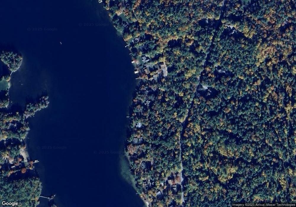
Map
Nearby Homes
- 320 Redding Ln
- 203 Krainewood Dr
- 33 Blackadar Ln
- 38 Lake Shore Dr Unit 12
- 38 Lake Shore Dr Unit 10
- 24 Dew Point Ln
- 00 Whittier Hwy Unit 8
- 22 Tiger Trail
- 30 Leopards Leap
- 52 Chase Cir
- 4 Schneider Rd
- 525 Whittier Hwy
- 1 Little Beaver Island
- 122 Toltec Point Rd
- 29 Kona Farm Rd
- 100 Marvin Rd
- 2 Little Badger Island
- 647 Whittier Hwy
- 00 Gilman Hill Rd Unit 1
- 244 Wentworth Shores Rd
- 5 Blackey Cove Rd
- 11 Blackey Cove Rd
- 13 Blackey Cove Rd
- 17 Wilson Rd
- 8 Blackey Cove Rd
- 17 Blackey Cove Rd
- 15 Wilson
- 21 Blackey Cove Rd
- Lot 1.1 Redding Ln
- 221 Redding Ln
- 27 Blackey Cove Rd
- 13 Wilson Rd
- 240 Redding Ln
- 31 Blackey Cove Rd
- 30 Blackey Cove Rd
- 203 Redding Ln
- 204 Redding Ln
- 37 Blackey Cove Rd
- 248 Redding Ln
- 198 Redding Ln