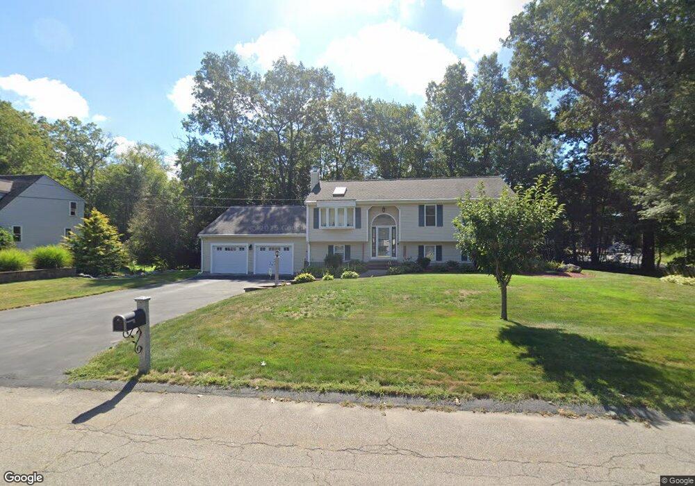
7 Bradshaws Way Taunton, MA 02780
Westville NeighborhoodEstimated Value: $532,000 - $577,000
3
Beds
2
Baths
1,184
Sq Ft
$464/Sq Ft
Est. Value
About This Home
This home is located at 7 Bradshaws Way, Taunton, MA 02780 and is currently estimated at $548,856, approximately $463 per square foot. 7 Bradshaws Way is a home located in Bristol County with nearby schools including Edmund Hatch Bennett School, Benjamin Friedman Middle School, and Taunton High School.
Ownership History
Date
Name
Owned For
Owner Type
Purchase Details
Closed on
Sep 14, 2016
Sold by
Newby Kenneth P and Coole Marjorie E
Bought by
Newby Kenneth P
Current Estimated Value
Home Financials for this Owner
Home Financials are based on the most recent Mortgage that was taken out on this home.
Original Mortgage
$175,000
Outstanding Balance
$110,776
Interest Rate
3.43%
Mortgage Type
New Conventional
Estimated Equity
$438,080
Purchase Details
Closed on
Nov 30, 2000
Sold by
Tavares Joao M and Tavares Susy M
Bought by
Newby Kenneth P and Coole Marjorie E
Home Financials for this Owner
Home Financials are based on the most recent Mortgage that was taken out on this home.
Original Mortgage
$157,000
Interest Rate
7.76%
Mortgage Type
Purchase Money Mortgage
Purchase Details
Closed on
Sep 22, 1997
Sold by
Bradshaw Rt and Bradshaw Russell L
Bought by
Meadowbrook Corp
Home Financials for this Owner
Home Financials are based on the most recent Mortgage that was taken out on this home.
Original Mortgage
$113,000
Interest Rate
7.38%
Mortgage Type
Purchase Money Mortgage
Create a Home Valuation Report for This Property
The Home Valuation Report is an in-depth analysis detailing your home's value as well as a comparison with similar homes in the area
Home Values in the Area
Average Home Value in this Area
Purchase History
| Date | Buyer | Sale Price | Title Company |
|---|---|---|---|
| Newby Kenneth P | $119,000 | -- | |
| Newby Kenneth P | $175,000 | -- | |
| Meadowbrook Corp | $45,000 | -- |
Source: Public Records
Mortgage History
| Date | Status | Borrower | Loan Amount |
|---|---|---|---|
| Open | Newby Kenneth P | $175,000 | |
| Previous Owner | Meadowbrook Corp | $157,000 | |
| Previous Owner | Meadowbrook Corp | $113,000 |
Source: Public Records
Tax History Compared to Growth
Tax History
| Year | Tax Paid | Tax Assessment Tax Assessment Total Assessment is a certain percentage of the fair market value that is determined by local assessors to be the total taxable value of land and additions on the property. | Land | Improvement |
|---|---|---|---|---|
| 2025 | $5,548 | $507,100 | $139,800 | $367,300 |
| 2024 | $5,058 | $452,000 | $139,800 | $312,200 |
| 2023 | $5,113 | $424,300 | $146,100 | $278,200 |
| 2022 | $4,891 | $371,100 | $113,300 | $257,800 |
| 2021 | $4,597 | $323,700 | $103,000 | $220,700 |
| 2020 | $4,476 | $301,200 | $103,000 | $198,200 |
| 2019 | $4,590 | $286,900 | $103,000 | $183,900 |
| 2018 | $4,336 | $275,800 | $104,000 | $171,800 |
| 2017 | $3,857 | $245,500 | $98,600 | $146,900 |
| 2016 | $3,454 | $220,300 | $95,700 | $124,600 |
| 2015 | $3,394 | $226,100 | $97,000 | $129,100 |
| 2014 | $3,278 | $224,400 | $97,000 | $127,400 |
Source: Public Records
Map
Nearby Homes
- 470 Hodges St
- 70 Forest Hill Dr
- 0 Tremont St Unit 73249875
- 10 1/2 Worcester St
- 14 Tremont St
- Lot 6 Tremont St
- 0 Kimberly Rd
- 165 Andrea Ln
- 3 Gilberts Way
- 166 Alfred Lord Blvd
- 852 Burt St
- 80 Short St
- 90 Mello Dr
- 0 Old Dean St (Parcel 33)
- 1 Round Farm Rd
- 48 Round Farm Rd
- 52 Round Farm Rd
- 4 John Scott Blvd
- 2 Round Farm Rd
- 25 Wintergreen Ln