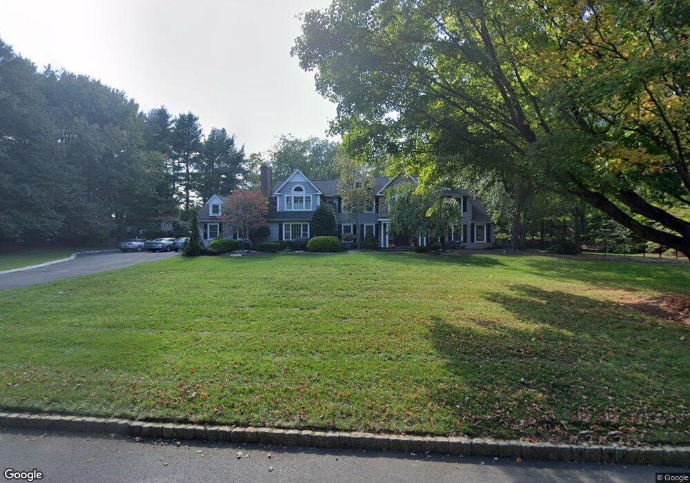
7 Brandywine Ln Colts Neck, NJ 07722
Estimated Value: $1,545,000 - $2,106,000
4
Beds
5
Baths
4,496
Sq Ft
$421/Sq Ft
Est. Value
About This Home
This home is located at 7 Brandywine Ln, Colts Neck, NJ 07722 and is currently estimated at $1,893,584, approximately $421 per square foot. 7 Brandywine Ln is a home located in Monmouth County with nearby schools including Conover Road School, Cedar Drive Middle School, and Colts Neck High School.
Ownership History
Date
Name
Owned For
Owner Type
Purchase Details
Closed on
Aug 28, 2024
Sold by
Doherty Kiera G
Bought by
Doherty Richard J
Current Estimated Value
Purchase Details
Closed on
Apr 27, 2005
Sold by
Harter Raymond
Bought by
Doherty Richard J and Doherty Kiera G
Home Financials for this Owner
Home Financials are based on the most recent Mortgage that was taken out on this home.
Original Mortgage
$500,000
Interest Rate
5.12%
Mortgage Type
Adjustable Rate Mortgage/ARM
Create a Home Valuation Report for This Property
The Home Valuation Report is an in-depth analysis detailing your home's value as well as a comparison with similar homes in the area
Home Values in the Area
Average Home Value in this Area
Purchase History
| Date | Buyer | Sale Price | Title Company |
|---|---|---|---|
| Doherty Richard J | -- | None Listed On Document | |
| Doherty Richard J | $1,117,500 | -- |
Source: Public Records
Mortgage History
| Date | Status | Borrower | Loan Amount |
|---|---|---|---|
| Previous Owner | Doherty Richard J | $500,000 |
Source: Public Records
Tax History Compared to Growth
Tax History
| Year | Tax Paid | Tax Assessment Tax Assessment Total Assessment is a certain percentage of the fair market value that is determined by local assessors to be the total taxable value of land and additions on the property. | Land | Improvement |
|---|---|---|---|---|
| 2025 | $24,731 | $1,844,900 | $578,700 | $1,266,200 |
| 2024 | $23,015 | $1,659,800 | $493,700 | $1,166,100 |
| 2023 | $23,015 | $1,479,100 | $376,800 | $1,102,300 |
| 2022 | $22,462 | $1,338,700 | $311,800 | $1,026,900 |
| 2021 | $22,462 | $1,286,500 | $311,800 | $974,700 |
| 2020 | $22,609 | $1,281,700 | $341,800 | $939,900 |
| 2019 | $22,807 | $1,295,100 | $366,800 | $928,300 |
| 2018 | $22,782 | $1,283,500 | $366,800 | $916,700 |
| 2017 | $22,341 | $1,262,900 | $357,800 | $905,100 |
| 2016 | $21,743 | $1,256,100 | $356,800 | $899,300 |
| 2015 | $21,585 | $1,244,100 | $368,100 | $876,000 |
| 2014 | $19,753 | $1,170,900 | $393,500 | $777,400 |
Source: Public Records
Map
Nearby Homes
- 1 Montana Dr
- 3 Jockey Terrace N
- 17 High Point Rd
- 98 Hockhockson Rd
- 56 Mulberry Ln
- 249 County Road 537
- 25 Water St
- 233-237 County Road 537
- 6 Willow Rd
- 201 Dogwood Ln
- 63 Eckert Dr
- 509 Newman Springs Rd
- 17 Woods End Rd
- 26 Rambling Meadow Ct
- 1497 W Front St
- 1476 W Front St
- 45 Turnberry Dr
- 31 Branford Cir
- 784 State Route 34
- 5 Ramapo Ct