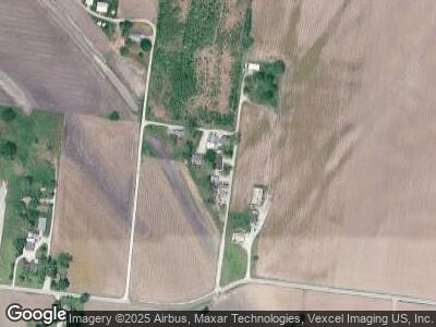
7 Bridges Ln West Alton, MO 63386
West Alton NeighborhoodEstimated Value: $158,000 - $228,000
3
Beds
1
Bath
1,563
Sq Ft
$128/Sq Ft
Est. Value
About This Home
This home is located at 7 Bridges Ln, West Alton, MO 63386 and is currently estimated at $200,583, approximately $128 per square foot. 7 Bridges Ln is a home located in St. Charles County with nearby schools including Orchard Farm Elementary School, Discovery Elementary School, and Orchard Farm Middle School.
Ownership History
Date
Name
Owned For
Owner Type
Purchase Details
Closed on
Dec 13, 2021
Sold by
Kiker Kenny L and Lipe Trina R
Bought by
Wunderlich Richard and Wunderlich Hannah
Current Estimated Value
Purchase Details
Closed on
Aug 12, 2013
Sold by
Emerson Michael and Estate Of Donald L Emerson
Bought by
Wunderlich Richard J
Home Financials for this Owner
Home Financials are based on the most recent Mortgage that was taken out on this home.
Original Mortgage
$73,641
Interest Rate
4.5%
Mortgage Type
FHA
Create a Home Valuation Report for This Property
The Home Valuation Report is an in-depth analysis detailing your home's value as well as a comparison with similar homes in the area
Home Values in the Area
Average Home Value in this Area
Purchase History
| Date | Buyer | Sale Price | Title Company |
|---|---|---|---|
| Wunderlich Richard | -- | Ust | |
| Wunderlich Richard J | $75,000 | Ust |
Source: Public Records
Mortgage History
| Date | Status | Borrower | Loan Amount |
|---|---|---|---|
| Previous Owner | Bridges Terry E | $258,512 | |
| Previous Owner | Wunderlich Richard J | $75,950 | |
| Previous Owner | Wunderlich Richard J | $73,641 |
Source: Public Records
Tax History Compared to Growth
Tax History
| Year | Tax Paid | Tax Assessment Tax Assessment Total Assessment is a certain percentage of the fair market value that is determined by local assessors to be the total taxable value of land and additions on the property. | Land | Improvement |
|---|---|---|---|---|
| 2023 | $1,622 | $23,936 | $0 | $0 |
| 2022 | $1,508 | $21,341 | $0 | $0 |
| 2021 | $1,027 | $2,913 | $0 | $0 |
| 2020 | $344 | $3,087 | $0 | $0 |
| 2019 | $1,196 | $17,780 | $0 | $0 |
| 2018 | $1,403 | $19,856 | $0 | $0 |
| 2017 | $1,393 | $19,856 | $0 | $0 |
| 2016 | $1,359 | $18,810 | $0 | $0 |
| 2015 | $1,344 | $18,300 | $0 | $0 |
| 2014 | $1,321 | $17,547 | $0 | $0 |
Source: Public Records
Map
Nearby Homes
- 1548 Fountainhead Ln
- 16612 Jamestown Forest Dr
- 6705 N Highway 67
- 314 W 4th St
- 9747 Missouri 94
- 307 George St
- 441 Bluff St
- 410 E 4th St
- 1011 State St
- 1958 Cathedral Hill Dr
- 6828 Finchdale Ct
- 6787 Lesli Mari Ct
- 307 Spring St
- 1618 Clock Tower Dr
- 6081 Silver Fox Dr
- 6937 Jamestown Way Dr
- 809 Alby St
- 1012 W 9th St
- 6919 Glenvale Ct
- 1734 Honeybrook Ln
