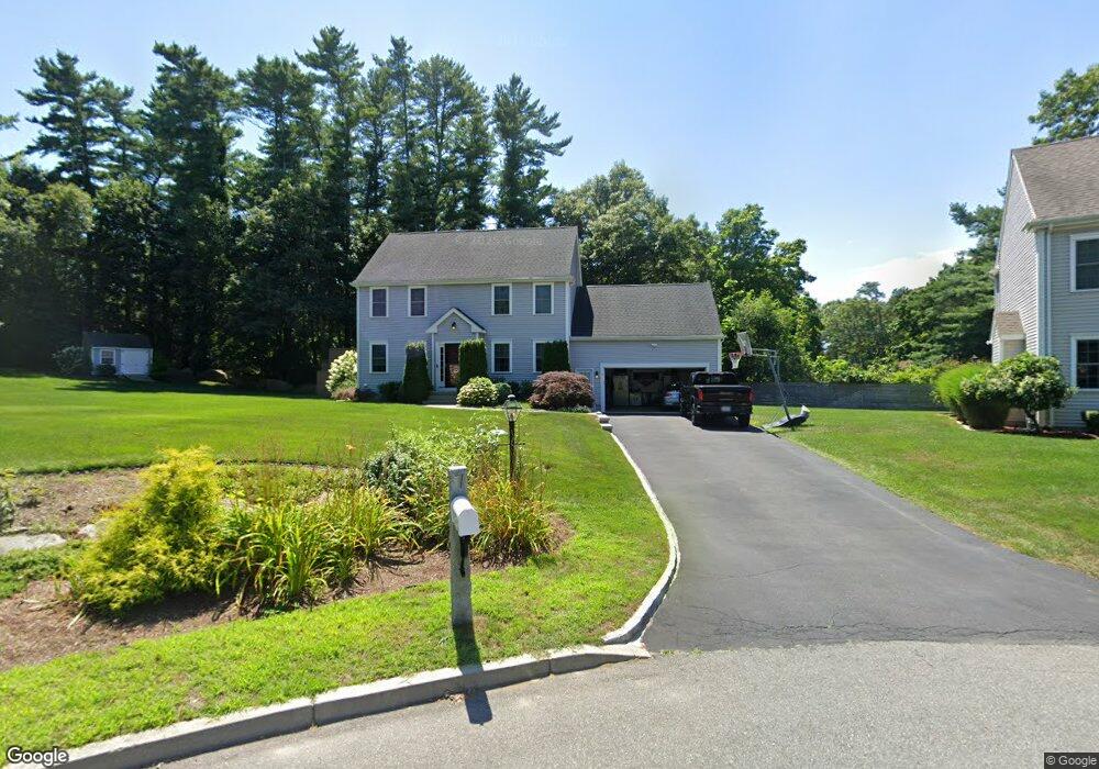
7 Brittany Dr Wareham, MA 02571
Estimated Value: $590,000 - $659,000
3
Beds
3
Baths
1,714
Sq Ft
$367/Sq Ft
Est. Value
About This Home
This home is located at 7 Brittany Dr, Wareham, MA 02571 and is currently estimated at $629,348, approximately $367 per square foot. 7 Brittany Dr is a home with nearby schools including Tabor Academy.
Ownership History
Date
Name
Owned For
Owner Type
Purchase Details
Closed on
May 18, 2015
Sold by
Maplewood Builders Llc
Bought by
Martins Jonathan and Martins Erica
Current Estimated Value
Home Financials for this Owner
Home Financials are based on the most recent Mortgage that was taken out on this home.
Original Mortgage
$305,550
Outstanding Balance
$234,107
Interest Rate
3.69%
Mortgage Type
New Conventional
Estimated Equity
$395,241
Purchase Details
Closed on
May 28, 2003
Sold by
Meier Ronald F and Meier Margaret J
Bought by
Monteiro Jeannette
Create a Home Valuation Report for This Property
The Home Valuation Report is an in-depth analysis detailing your home's value as well as a comparison with similar homes in the area
Purchase History
| Date | Buyer | Sale Price | Title Company |
|---|---|---|---|
| Martins Jonathan | $315,000 | -- | |
| Martins Jonathan | $315,000 | -- | |
| Monteiro Jeannette | $5,000 | -- | |
| Monteiro Jeannette V | $5,000 | -- |
Source: Public Records
Mortgage History
| Date | Status | Borrower | Loan Amount |
|---|---|---|---|
| Open | Martins Jonathan | $305,550 | |
| Closed | Martins Jonathan | $305,550 |
Source: Public Records
Tax History
| Year | Tax Paid | Tax Assessment Tax Assessment Total Assessment is a certain percentage of the fair market value that is determined by local assessors to be the total taxable value of land and additions on the property. | Land | Improvement |
|---|---|---|---|---|
| 2025 | $5,688 | $545,900 | $132,200 | $413,700 |
| 2024 | $5,777 | $514,400 | $105,100 | $409,300 |
| 2023 | $5,094 | $455,700 | $95,400 | $360,300 |
| 2022 | $5,094 | $386,500 | $95,400 | $291,100 |
| 2021 | $5,006 | $372,200 | $95,400 | $276,800 |
| 2020 | $4,668 | $352,000 | $95,400 | $256,600 |
| 2019 | $4,524 | $340,400 | $96,800 | $243,600 |
| 2018 | $4,310 | $316,200 | $96,800 | $219,400 |
| 2017 | $4,114 | $305,900 | $96,800 | $209,100 |
| 2016 | $4,056 | $299,800 | $92,600 | $207,200 |
| 2015 | -- | $104,600 | $92,600 | $12,000 |
| 2014 | $1,298 | $101,000 | $101,000 | $0 |
Source: Public Records
Map
Nearby Homes
- 7 Maud Palmer Dr
- 1 Emma Ln Unit B
- 19 Station St
- 17 Station St
- 6 Bourne Terrace
- 10 Longmeadow Dr
- 233 Marion Rd
- 437 Main St
- 15 14th Ave
- 9 Woodville Way
- 110 Mayflower Ridge Dr
- 4 Mather Dr
- 189 Pine View Terrace
- 2645 Cranberry Hwy Unit A
- 87 Great Hill Dr
- 199 Windswept Rd
- 5 Timber Ln
- 44 Helen St
- 15 Broadmarsh Ave
- 106 Circuit Ave
- 5 Brittany Dr
- 5 Brittany Dr
- 1 Brittany Dr
- 199 Hathaway St
- 197 Hathaway St
- 195 Hathaway St
- 8 Brittany Dr
- 8 Brittany Dr
- Lot 3 Brittany Dr
- 201 Hathaway St
- 6 Brittany Dr
- 6 Brittany Dr
- 6 Lots Brittany Dr
- Lot 6 Brittany Dr
- 4 Brittany Dr
- 4 Brittany Dr
- 2 Brittany Dr
- 205 Hathaway St
- 194 Hathaway St
- 198 Hathaway St
Your Personal Tour Guide
Ask me questions while you tour the home.