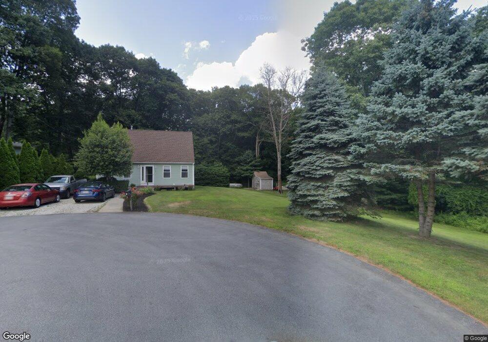
7 Brookridge Cir Swansea, MA 02777
Northeast Swansea NeighborhoodEstimated Value: $576,404 - $701,000
3
Beds
2
Baths
1,380
Sq Ft
$455/Sq Ft
Est. Value
About This Home
This home is located at 7 Brookridge Cir, Swansea, MA 02777 and is currently estimated at $627,351, approximately $454 per square foot. 7 Brookridge Cir is a home located in Bristol County with nearby schools including Joseph Case High School.
Ownership History
Date
Name
Owned For
Owner Type
Purchase Details
Closed on
Jul 25, 1996
Sold by
Roland Martelly Constr
Bought by
Patterson Thomas Cv and Patterson Susan M
Current Estimated Value
Home Financials for this Owner
Home Financials are based on the most recent Mortgage that was taken out on this home.
Original Mortgage
$104,000
Outstanding Balance
$8,338
Interest Rate
8.37%
Mortgage Type
Purchase Money Mortgage
Estimated Equity
$619,013
Create a Home Valuation Report for This Property
The Home Valuation Report is an in-depth analysis detailing your home's value as well as a comparison with similar homes in the area
Home Values in the Area
Average Home Value in this Area
Purchase History
| Date | Buyer | Sale Price | Title Company |
|---|---|---|---|
| Patterson Thomas Cv | $123,000 | -- | |
| Roland Martelly Constr | $38,000 | -- |
Source: Public Records
Mortgage History
| Date | Status | Borrower | Loan Amount |
|---|---|---|---|
| Open | Roland Martelly Constr | $40,000 | |
| Open | Roland Martelly Constr | $104,000 |
Source: Public Records
Tax History Compared to Growth
Tax History
| Year | Tax Paid | Tax Assessment Tax Assessment Total Assessment is a certain percentage of the fair market value that is determined by local assessors to be the total taxable value of land and additions on the property. | Land | Improvement |
|---|---|---|---|---|
| 2025 | $6,091 | $511,000 | $214,000 | $297,000 |
| 2024 | $6,055 | $505,000 | $214,000 | $291,000 |
| 2023 | $5,600 | $426,500 | $161,600 | $264,900 |
| 2022 | $5,363 | $372,700 | $142,300 | $230,400 |
| 2021 | $5,184 | $331,700 | $148,100 | $183,600 |
| 2020 | $5,138 | $329,800 | $154,000 | $175,800 |
| 2019 | $4,755 | $306,600 | $134,700 | $171,900 |
| 2018 | $4,639 | $303,600 | $131,700 | $171,900 |
| 2017 | $4,068 | $306,300 | $126,600 | $179,700 |
| 2016 | $3,946 | $291,900 | $122,400 | $169,500 |
| 2015 | $3,684 | $280,600 | $122,400 | $158,200 |
| 2014 | $3,552 | $276,600 | $122,400 | $154,200 |
Source: Public Records
Map
Nearby Homes
- 383 Vinnicum Rd
- 7 Johnnies Way
- 283 Plain St
- 3 Johnnies Way
- 3b Johnnies Way
- 3a Johnnies Way
- 129 Cameron Way
- 1 Cedarbrook Unit A
- 10 Quaker Ln
- 1405 Gar Hwy Unit A
- 107 Walker St
- 36 Columbine Rd
- 107 & 107R Walker
- 24 Nod Rd
- 0 Old Fall River Rd Unit 73399047
- 4 Meadowbrook Ave
- 46 Magnolia Dr
- 16 Martin St
- 147 Bushee Rd
- 17 Sassafras Rd
- 5 Brookridge Cir
- 469 Reed Rd
- 10 Brookridge Cir
- 565 Reed Rd
- 461 Reed Rd
- 3 Brookridge Cir
- 534 Reed St
- 6 Brookridge Cir
- 1 Brookridge Cir
- 534 Reed Rd
- 516 Reed Rd
- 550 Reed Rd
- 0 Reed Rd
- 0 Reed Rd Unit 1021882
- 0 Reed Rd Unit 71936040
- 0 Reed Rd Unit 71633341
- 0 Reed Rd Unit 71399310
- 4 Brookridge Cir
- 502 Reed St
- 8 Brookridge Cir