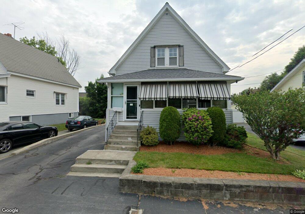
7 Browne Rd Shrewsbury, MA 01545
Estimated Value: $452,000 - $500,000
3
Beds
2
Baths
1,289
Sq Ft
$368/Sq Ft
Est. Value
About This Home
This home is located at 7 Browne Rd, Shrewsbury, MA 01545 and is currently estimated at $474,000, approximately $367 per square foot. 7 Browne Rd is a home located in Worcester County with nearby schools including Sherwood Middle School, Calvin Coolidge Elementary School, and Oak Middle School.
Ownership History
Date
Name
Owned For
Owner Type
Purchase Details
Closed on
May 25, 2023
Sold by
Lamothe Carolyn
Bought by
Carolyn Lamothe Faily T and Carolyn Lamothe
Current Estimated Value
Purchase Details
Closed on
Aug 13, 2009
Sold by
Afshari Mojitaba and Afshari Lori
Bought by
Lamothe Carolyn
Purchase Details
Closed on
Aug 1, 2000
Sold by
Parretti Vincent
Bought by
Afshari Mojtaba and Afshari Lori
Home Financials for this Owner
Home Financials are based on the most recent Mortgage that was taken out on this home.
Original Mortgage
$114,300
Interest Rate
8.18%
Mortgage Type
Purchase Money Mortgage
Purchase Details
Closed on
Sep 1, 1989
Sold by
Senosk Ronald
Bought by
Parretti Vincent
Create a Home Valuation Report for This Property
The Home Valuation Report is an in-depth analysis detailing your home's value as well as a comparison with similar homes in the area
Home Values in the Area
Average Home Value in this Area
Purchase History
| Date | Buyer | Sale Price | Title Company |
|---|---|---|---|
| Carolyn Lamothe Faily T | -- | None Available | |
| Carolyn Lamothe Faily T | -- | None Available | |
| Carolyn Lamothe Faily T | -- | None Available | |
| Lamothe Carolyn | -- | -- | |
| Lamothe Carolyn | -- | -- | |
| Lamothe Carolyn | -- | -- | |
| Afshari Mojtaba | $127,000 | -- | |
| Afshari Mojtaba | $127,000 | -- | |
| Parretti Vincent | $130,000 | -- |
Source: Public Records
Mortgage History
| Date | Status | Borrower | Loan Amount |
|---|---|---|---|
| Previous Owner | Parretti Vincent | $14,000 | |
| Previous Owner | Parretti Vincent | $114,300 |
Source: Public Records
Tax History Compared to Growth
Tax History
| Year | Tax Paid | Tax Assessment Tax Assessment Total Assessment is a certain percentage of the fair market value that is determined by local assessors to be the total taxable value of land and additions on the property. | Land | Improvement |
|---|---|---|---|---|
| 2025 | $42 | $347,500 | $191,000 | $156,500 |
| 2024 | $4,000 | $323,100 | $181,900 | $141,200 |
| 2023 | $3,924 | $299,100 | $181,900 | $117,200 |
| 2022 | $3,649 | $258,600 | $161,500 | $97,100 |
| 2021 | $3,201 | $242,700 | $153,000 | $89,700 |
| 2020 | $3,026 | $242,700 | $153,000 | $89,700 |
| 2019 | $2,911 | $231,600 | $147,400 | $84,200 |
| 2018 | $2,771 | $218,900 | $135,700 | $83,200 |
| 2017 | $2,486 | $193,800 | $119,300 | $74,500 |
| 2016 | $2,504 | $192,600 | $115,800 | $76,800 |
| 2015 | $2,471 | $187,200 | $108,500 | $78,700 |
Source: Public Records
Map
Nearby Homes
- 10 Gleason Rd
- 26 Browne Rd
- 6 Selina St
- 40 Shrewsbury Green Dr Unit A
- 315 Maple Ave
- 22 Shrewsbury Green Dr Unit C
- 175 Oak St
- 26 Williamsburg Ct Unit 22
- 73 S Quinsigamond Ave
- 46 N Quinsigamond Ave
- 40 Phillips Ave
- 20 Williamsburg Ct Unit 21
- 7 Tern Dr
- 15 Eagle Dr
- 76 Hillside Dr
- 105 S Quinsigamond Ave
- 67 N Quinsigamond Ave Unit 23
- 5 Fyrbeck Ave
- 43 Harriet Ave
- 10 Crane Cir
- 5 Browne Rd
- 9 Browne Rd
- 11 Browne Rd
- 36 Bailey Rd Unit 36A
- 266 Boston Turnpike
- 10 Browne Rd
- 12 Browne Rd
- 262 Boston Turnpike
- 19 Sias Ave Unit 21
- 38 Bailey Rd
- 15 Sias Ave
- 23 Sias Ave
- 278 Boston Turnpike Unit 5
- 278 Boston Turnpike Unit 4
- 278 Boston Turnpike Unit 2
- 278 Boston Turnpike Unit 3
- 278 Boston Turnpike
- 278 Boston Turnpike Unit 1
- 9 Stanley Rd
- 258 Boston Turnpike