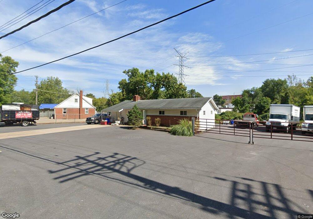
7 Carlvon Rd Owings Mills, MD 21117
Estimated Value: $270,216
--
Bed
1
Bath
1,032
Sq Ft
$262/Sq Ft
Est. Value
About This Home
This home is located at 7 Carlvon Rd, Owings Mills, MD 21117 and is currently estimated at $270,216, approximately $261 per square foot. 7 Carlvon Rd is a home located in Baltimore County with nearby schools including Owings Mills Elementary School, Deer Park Middle Magnet School, and Owings Mills High School.
Ownership History
Date
Name
Owned For
Owner Type
Purchase Details
Closed on
Nov 6, 2017
Sold by
Robinson Brian P and Robinson Joann
Bought by
Braun Igor and Braun Allan
Current Estimated Value
Home Financials for this Owner
Home Financials are based on the most recent Mortgage that was taken out on this home.
Original Mortgage
$100,000
Outstanding Balance
$54,915
Interest Rate
3.83%
Mortgage Type
Purchase Money Mortgage
Estimated Equity
$215,301
Purchase Details
Closed on
Jun 11, 1984
Sold by
Coleman William F
Bought by
Robinson Brian P and Johnakin Joann
Create a Home Valuation Report for This Property
The Home Valuation Report is an in-depth analysis detailing your home's value as well as a comparison with similar homes in the area
Home Values in the Area
Average Home Value in this Area
Purchase History
| Date | Buyer | Sale Price | Title Company |
|---|---|---|---|
| Braun Igor | $180,000 | King Title Co Inc | |
| Robinson Brian P | $59,000 | -- |
Source: Public Records
Mortgage History
| Date | Status | Borrower | Loan Amount |
|---|---|---|---|
| Open | Braun Igor | $100,000 |
Source: Public Records
Tax History Compared to Growth
Tax History
| Year | Tax Paid | Tax Assessment Tax Assessment Total Assessment is a certain percentage of the fair market value that is determined by local assessors to be the total taxable value of land and additions on the property. | Land | Improvement |
|---|---|---|---|---|
| 2025 | $2,896 | $192,000 | $105,000 | $87,000 |
| 2024 | $2,896 | $186,133 | $0 | $0 |
| 2023 | $1,486 | $180,267 | $0 | $0 |
| 2022 | $2,539 | $174,400 | $105,000 | $69,400 |
| 2021 | $2,255 | $157,267 | $0 | $0 |
| 2020 | $2,255 | $140,133 | $0 | $0 |
| 2019 | $2,097 | $123,000 | $63,000 | $60,000 |
| 2018 | $1,993 | $122,367 | $0 | $0 |
| 2017 | $1,856 | $121,733 | $0 | $0 |
| 2016 | $2,372 | $121,100 | $0 | $0 |
| 2015 | $2,372 | $121,100 | $0 | $0 |
| 2014 | $2,372 | $121,100 | $0 | $0 |
Source: Public Records
Map
Nearby Homes
- 16 Garrison Ridge Ct
- 60 S Ritters Ln
- 305 Wyndham Cir Unit 305K
- 10 Harmon Rd
- 153 Wilgate Rd
- 8 Saint Thomas Ln
- 22 Saint Thomas Ln
- 156 S Ritters Ln
- 57 Chins Ct
- 19 Pleasant Hill Rd
- 32 Pleasant Hill Rd
- 5109 Gold Hill Rd
- 921 Academy Ave
- 372 Paladium Ct
- 923 Academy Ave
- 9339 Paragon Way
- 9450 Davy Ln Unit 466
- 4524 Reaney Ln Unit 485
- 9363 Seney Ln Unit 519
- 970 Joshua Tree Ct
- 5 Carlvon Rd
- 10526 Reisterstown Rd
- 10524 Reisterstown Rd
- 10520 Reisterstown Rd
- 10522 Reisterstown Rd
- 10516 Reisterstown Rd
- 10512 Reisterstown Rd
- 11 Lastgate Rd
- 13 Lastgate Rd
- 9 Lastgate Rd
- 15 Lastgate Rd
- 7 Lastgate Rd
- 17 Lastgate Rd
- 10515 Reisterstown Rd
- 10500 Reisterstown Rd
- 5 Lastgate Rd
- 19 Lastgate Rd
- 10550 Reisterstown Rd
- 3 Lastgate Rd
- 21 Lastgate Rd