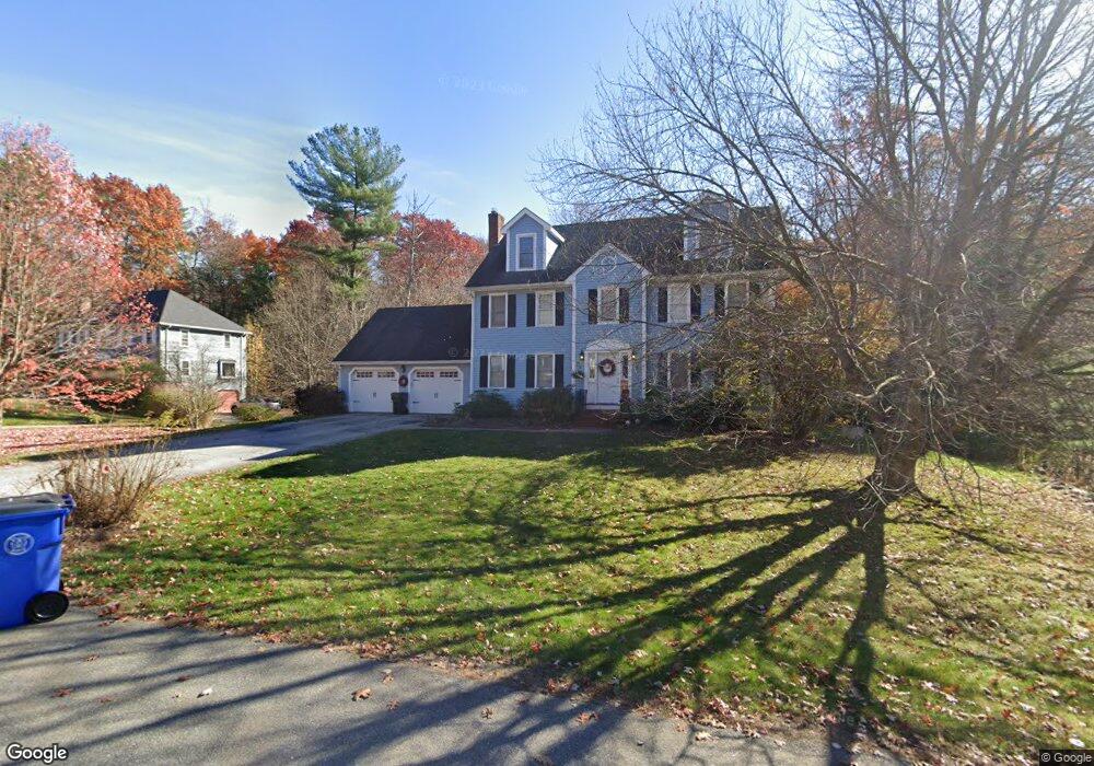
7 Cherokee Ct Londonderry, NH 03053
Estimated Value: $755,698 - $841,000
4
Beds
3
Baths
2,744
Sq Ft
$292/Sq Ft
Est. Value
About This Home
This home is located at 7 Cherokee Ct, Londonderry, NH 03053 and is currently estimated at $802,425, approximately $292 per square foot. 7 Cherokee Ct is a home located in Rockingham County with nearby schools including Matthew Thornton Elementary School, Londonderry Middle School, and Londonderry Senior High School.
Ownership History
Date
Name
Owned For
Owner Type
Purchase Details
Closed on
Sep 25, 2008
Sold by
Laplante Guy and Laplante Karen
Bought by
White Jeremy D and White Jennifer A
Current Estimated Value
Home Financials for this Owner
Home Financials are based on the most recent Mortgage that was taken out on this home.
Original Mortgage
$317,600
Interest Rate
6.57%
Purchase Details
Closed on
Aug 6, 2004
Sold by
Novelli Michael J and Novelli Jennifer K
Bought by
Laplante Guy and Laplante Karen
Home Financials for this Owner
Home Financials are based on the most recent Mortgage that was taken out on this home.
Original Mortgage
$210,100
Interest Rate
6.2%
Mortgage Type
Purchase Money Mortgage
Purchase Details
Closed on
Dec 28, 2001
Sold by
Sandefur Patrick A and Sandefur Lori H
Bought by
Novelli Michael J and Novelli Jennifer K
Create a Home Valuation Report for This Property
The Home Valuation Report is an in-depth analysis detailing your home's value as well as a comparison with similar homes in the area
Home Values in the Area
Average Home Value in this Area
Purchase History
| Date | Buyer | Sale Price | Title Company |
|---|---|---|---|
| White Jeremy D | $397,000 | -- | |
| Laplante Guy | $410,100 | -- | |
| Novelli Michael J | $309,900 | -- |
Source: Public Records
Mortgage History
| Date | Status | Borrower | Loan Amount |
|---|---|---|---|
| Open | Novelli Michael J | $277,000 | |
| Closed | Novelli Michael J | $317,600 | |
| Previous Owner | Novelli Michael J | $84,000 | |
| Previous Owner | Novelli Michael J | $210,100 |
Source: Public Records
Tax History Compared to Growth
Tax History
| Year | Tax Paid | Tax Assessment Tax Assessment Total Assessment is a certain percentage of the fair market value that is determined by local assessors to be the total taxable value of land and additions on the property. | Land | Improvement |
|---|---|---|---|---|
| 2024 | $10,344 | $640,900 | $241,600 | $399,300 |
| 2023 | $10,030 | $640,900 | $241,600 | $399,300 |
| 2022 | $9,294 | $502,900 | $181,200 | $321,700 |
| 2021 | $9,243 | $502,900 | $181,200 | $321,700 |
| 2020 | $9,351 | $465,000 | $145,000 | $320,000 |
| 2019 | $9,016 | $465,000 | $145,000 | $320,000 |
| 2018 | $8,400 | $385,300 | $121,100 | $264,200 |
| 2017 | $8,326 | $385,300 | $121,100 | $264,200 |
| 2016 | $8,284 | $385,300 | $121,100 | $264,200 |
| 2015 | $8,099 | $385,300 | $121,100 | $264,200 |
| 2014 | $8,126 | $385,300 | $121,100 | $264,200 |
| 2011 | -- | $384,400 | $112,400 | $272,000 |
Source: Public Records
Map
Nearby Homes
- 35 Red Deer Rd
- 224 High Range Rd
- 193 Fieldstone Dr
- 193 Fieldstone Dr Unit 193
- 169 Fieldstone Dr
- 118 Fieldstone Dr Unit 118
- 11 Elise Ave Unit Lot 91
- 57 Hardy Rd
- 27 Buckingham Dr
- 17 Welch Rd
- 15 Harvey Rd
- 10 Judy Dr
- 38 Bartley Hill Rd
- 3 Chandler Dr
- 20 Wedgewood Dr
- 50 Bartley Hill Rd
- 32 Noyes Rd
- 8 Iroquois Cir
- 90 High Range Rd
- 88 High Range Rd
- 5 Cherokee Ct
- 8 Cherokee Ct
- 9 Cherokee Ct
- 6 Cherokee Ct
- 3 Cherokee Ct
- 10 Cherokee Ct
- 12 Cherokee Ct
- 11 Cherokee Ct
- 4 Cherokee Ct
- 8 Grapevine Cir
- 6 Grapevine Cir
- 1 Cherokee Ct
- 10 Grapevine Cir
- 9 Manasquan Cir
- 7 Manasquan Cir
- 4 Grapevine Cir
- 19 Lawson Farm Rd
- 12 Grapevine Cir
- 5 Grapevine Cir
- 15 Lawson Farm Rd