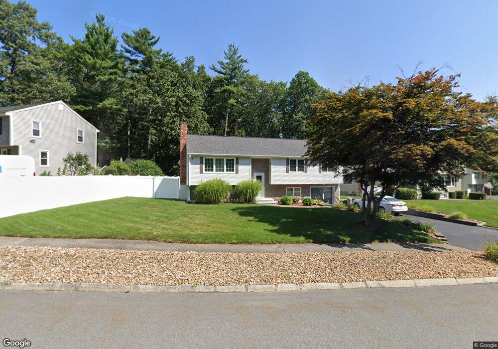
7 Cider Ln Nashua, NH 03063
Northwest Nashua NeighborhoodEstimated Value: $492,000 - $640,000
3
Beds
2
Baths
1,236
Sq Ft
$451/Sq Ft
Est. Value
About This Home
This home is located at 7 Cider Ln, Nashua, NH 03063 and is currently estimated at $558,036, approximately $451 per square foot. 7 Cider Ln is a home located in Hillsborough County with nearby schools including Birch Hill Elementary School, Elm Street Middle School, and Nashua High School North.
Ownership History
Date
Name
Owned For
Owner Type
Purchase Details
Closed on
Dec 24, 2014
Sold by
Kearns Kristen L
Bought by
Jamea and Jamea Kristen Kearns
Current Estimated Value
Purchase Details
Closed on
Feb 3, 1998
Sold by
Botan Edward A and Botan Wilma F
Bought by
Powers Robert M and Powers Kristen L
Home Financials for this Owner
Home Financials are based on the most recent Mortgage that was taken out on this home.
Original Mortgage
$95,582
Interest Rate
7.02%
Mortgage Type
Purchase Money Mortgage
Create a Home Valuation Report for This Property
The Home Valuation Report is an in-depth analysis detailing your home's value as well as a comparison with similar homes in the area
Home Values in the Area
Average Home Value in this Area
Purchase History
| Date | Buyer | Sale Price | Title Company |
|---|---|---|---|
| Jamea | -- | -- | |
| Kristen Jamea | -- | -- | |
| Powers Robert M | $96,000 | -- |
Source: Public Records
Mortgage History
| Date | Status | Borrower | Loan Amount |
|---|---|---|---|
| Previous Owner | Powers Robert M | $228,000 | |
| Previous Owner | Powers Robert M | $95,582 |
Source: Public Records
Tax History Compared to Growth
Tax History
| Year | Tax Paid | Tax Assessment Tax Assessment Total Assessment is a certain percentage of the fair market value that is determined by local assessors to be the total taxable value of land and additions on the property. | Land | Improvement |
|---|---|---|---|---|
| 2024 | $7,724 | $485,800 | $159,500 | $326,300 |
| 2023 | $7,392 | $405,500 | $127,600 | $277,900 |
| 2022 | $7,327 | $405,500 | $127,600 | $277,900 |
| 2021 | $6,845 | $294,800 | $89,300 | $205,500 |
| 2020 | $6,613 | $292,500 | $89,300 | $203,200 |
| 2019 | $6,339 | $291,300 | $89,300 | $202,000 |
| 2018 | $6,178 | $291,300 | $89,300 | $202,000 |
| 2017 | $6,094 | $236,300 | $72,900 | $163,400 |
| 2016 | $5,924 | $236,300 | $72,900 | $163,400 |
| 2015 | $5,796 | $236,300 | $72,900 | $163,400 |
| 2014 | $5,539 | $230,300 | $72,900 | $157,400 |
Source: Public Records
Map
Nearby Homes
- 14 Parrish Hill Dr
- 22 Cathedral Cir
- 424 Broad St
- 6 Cornwall Ln Unit 7
- 5 Meghan Dr Unit U23
- 3 Richmond St
- 4 Nelson St
- 27 Country Hill Rd Unit U90
- 334 Broad St
- 11 Inca Dr
- 76 Bartemus Trail Unit U231
- 11 Bartemus Trail Unit 204
- 46 Scenic Dr
- 4 Jared Cir Unit U21
- 5 Chatfield Dr Unit U18
- 239 Broad St
- 599 W Hollis St
- 199 Pine Hill Rd
- 20 Martha St
- 40 Spring Cove Rd Unit U117