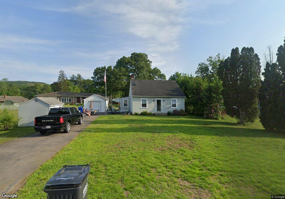
7 Couture Rd Southampton, MA 01073
Estimated Value: $239,000 - $353,000
3
Beds
1
Bath
1,420
Sq Ft
$208/Sq Ft
Est. Value
About This Home
This home is located at 7 Couture Rd, Southampton, MA 01073 and is currently estimated at $295,479, approximately $208 per square foot. 7 Couture Rd is a home located in Hampshire County with nearby schools including William E Norris School, Blessed Sacrament School, and Westfield Christian Academy.
Ownership History
Date
Name
Owned For
Owner Type
Purchase Details
Closed on
Jul 15, 2015
Sold by
Nelson Larry L and Nelson Donna H
Bought by
Laplante Sherri and Laplante Donald
Current Estimated Value
Home Financials for this Owner
Home Financials are based on the most recent Mortgage that was taken out on this home.
Original Mortgage
$206,196
Outstanding Balance
$163,752
Interest Rate
4.4%
Mortgage Type
FHA
Estimated Equity
$131,727
Purchase Details
Closed on
Sep 30, 2009
Sold by
Crooker Harriet P and Bittm Holly C
Bought by
Nelson Larry L and Nelson Donna H
Home Financials for this Owner
Home Financials are based on the most recent Mortgage that was taken out on this home.
Original Mortgage
$60,000
Interest Rate
5.12%
Mortgage Type
Purchase Money Mortgage
Create a Home Valuation Report for This Property
The Home Valuation Report is an in-depth analysis detailing your home's value as well as a comparison with similar homes in the area
Home Values in the Area
Average Home Value in this Area
Purchase History
| Date | Buyer | Sale Price | Title Company |
|---|---|---|---|
| Laplante Sherri | $210,000 | -- | |
| Nelson Larry L | $150,000 | -- |
Source: Public Records
Mortgage History
| Date | Status | Borrower | Loan Amount |
|---|---|---|---|
| Open | Laplante Sherri | $206,196 | |
| Previous Owner | Nelson Larry L | $60,000 |
Source: Public Records
Tax History Compared to Growth
Tax History
| Year | Tax Paid | Tax Assessment Tax Assessment Total Assessment is a certain percentage of the fair market value that is determined by local assessors to be the total taxable value of land and additions on the property. | Land | Improvement |
|---|---|---|---|---|
| 2025 | $3,092 | $218,200 | $64,100 | $154,100 |
| 2024 | $3,109 | $218,200 | $64,100 | $154,100 |
| 2023 | $2,941 | $205,200 | $64,100 | $141,100 |
| 2022 | $2,771 | $183,900 | $57,500 | $126,400 |
| 2021 | $2,697 | $168,900 | $53,100 | $115,800 |
| 2020 | $2,653 | $167,700 | $53,100 | $114,600 |
| 2019 | $2,593 | $159,000 | $53,100 | $105,900 |
| 2018 | $2,451 | $146,600 | $47,700 | $98,900 |
| 2017 | $2,393 | $146,600 | $47,700 | $98,900 |
| 2015 | $2,264 | $144,100 | $43,400 | $100,700 |
Source: Public Records
Map
Nearby Homes
- 351 Apremont Hsy
- 397 Apremont Hwy
- 94 Pequot Rd (Rear)
- 16 Davis St
- 150 Middle Rd
- 64 Old Stage Rd
- 21 Old County Rd
- 128 Middle Rd
- Lot 57 White Loaf Rd
- 0 Char Dr
- 178 County Rd
- 36 County Rd
- Lot A Homestead Ave
- 695 Homestead Ave
- 794 Homestead Ave
- 36 Susan Dr
- 39 Cook Rd
- 7 Vermont St
- 101 North Rd
- lot b Homestead Ave