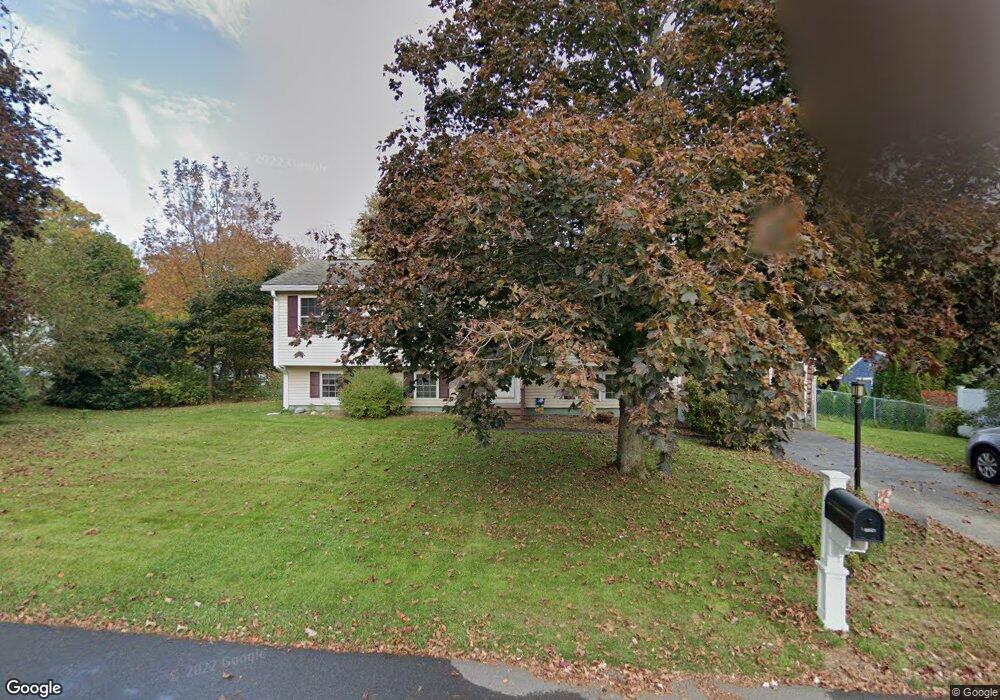
7 Crockett Dr Goffstown, NH 03045
Estimated Value: $496,000 - $526,000
3
Beds
1
Bath
2,332
Sq Ft
$221/Sq Ft
Est. Value
About This Home
This home is located at 7 Crockett Dr, Goffstown, NH 03045 and is currently estimated at $516,182, approximately $221 per square foot. 7 Crockett Dr is a home located in Hillsborough County with nearby schools including Mountain View Middle School, Goffstown High School, and Polaris Charter School.
Ownership History
Date
Name
Owned For
Owner Type
Purchase Details
Closed on
Dec 27, 2017
Sold by
Timmons Jessica A and Vachon Jessica A
Bought by
Timmons Scott M and Timmons Jessica A
Current Estimated Value
Purchase Details
Closed on
Jul 26, 2004
Sold by
Moran Kelly J
Bought by
Timmons Scott M
Home Financials for this Owner
Home Financials are based on the most recent Mortgage that was taken out on this home.
Original Mortgage
$198,400
Interest Rate
6.28%
Mortgage Type
Purchase Money Mortgage
Create a Home Valuation Report for This Property
The Home Valuation Report is an in-depth analysis detailing your home's value as well as a comparison with similar homes in the area
Home Values in the Area
Average Home Value in this Area
Purchase History
| Date | Buyer | Sale Price | Title Company |
|---|---|---|---|
| Timmons Scott M | -- | -- | |
| Timmons Scott M | $248,000 | -- |
Source: Public Records
Mortgage History
| Date | Status | Borrower | Loan Amount |
|---|---|---|---|
| Previous Owner | Timmons Scott M | $198,400 |
Source: Public Records
Tax History Compared to Growth
Tax History
| Year | Tax Paid | Tax Assessment Tax Assessment Total Assessment is a certain percentage of the fair market value that is determined by local assessors to be the total taxable value of land and additions on the property. | Land | Improvement |
|---|---|---|---|---|
| 2024 | $7,961 | $389,500 | $183,700 | $205,800 |
| 2023 | $7,346 | $389,500 | $183,700 | $205,800 |
| 2022 | $6,546 | $248,800 | $113,300 | $135,500 |
| 2021 | $6,175 | $248,800 | $113,300 | $135,500 |
| 2020 | $6,168 | $248,500 | $113,300 | $135,200 |
| 2019 | $6,096 | $248,000 | $113,300 | $134,700 |
| 2018 | $7,243 | $248,000 | $113,300 | $134,700 |
| 2017 | $6,194 | $225,900 | $93,700 | $132,200 |
| 2016 | $6,677 | $225,900 | $93,700 | $132,200 |
| 2015 | $5,818 | $206,600 | $87,900 | $118,700 |
| 2014 | $5,578 | $206,600 | $87,900 | $118,700 |
Source: Public Records
Map
Nearby Homes
- 175 Saint Anselm Dr
- 14 Angel Point Cir Unit B
- 35 Foch St
- 1 Oakwood Ln Unit 2
- 28 Joffre St
- 11 Timberwood Dr Unit 206
- 16 Larch St
- 24 Whippoorwill Ln
- 40 Tirrell Hill Rd
- 46 Moose Club Park Rd
- 115 Moose Club Park Rd
- 2 Shore Dr
- 96 Pinard St
- 3 Danforth Dr
- 103 Theophile St
- 380 Rockland Ave
- 58 Violet St
- 1B Dearborn Cir
- 2A Dearborn Cir
- 4 Chip St
- 11 Crockett Dr
- 195 Saint Anselms Dr
- 25 Cross St
- 12 Crockett Dr
- 6 Crockett Dr
- 203 Saint Anselms Dr
- 200 Saint Anselm Dr
- 196 Saint Anselms Dr
- 15 Crockett Dr
- 174 Saint Anselms Dr
- 174 Saint Anselms Dr
- 174 St Anselms Dr Unit 2-172
- 174 St Anselms Dr Unit 4-154
- 174 St Anselms Dr Unit 154
- 174 St Anselms Dr
- 174 Saint Anselms Dr Unit 131
- 16 Crockett Dr
- 151 Daniel Plummer Rd
- 155 Daniel Plummer Rd
- 186 Saint Anselms Dr