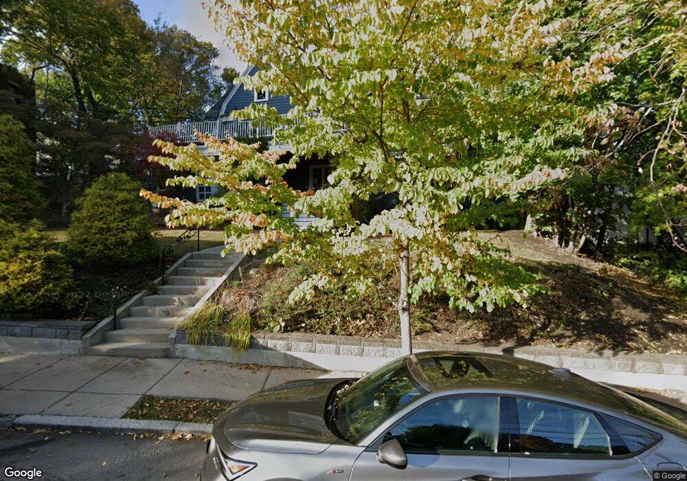
7 Cummings Rd Unit 9 Brighton, MA 02135
Commonwealth NeighborhoodEstimated Value: $602,875 - $783,000
2
Beds
2
Baths
915
Sq Ft
$745/Sq Ft
Est. Value
About This Home
This home is located at 7 Cummings Rd Unit 9, Brighton, MA 02135 and is currently estimated at $681,969, approximately $745 per square foot. 7 Cummings Rd Unit 9 is a home located in Suffolk County with nearby schools including Boston Green Academy Horace Mann Charter School, Torah Academy, and Bais Yaakov Of Boston High School.
Ownership History
Date
Name
Owned For
Owner Type
Purchase Details
Closed on
Oct 27, 2005
Sold by
Johnson Samuel G
Bought by
Kagan Eugene
Current Estimated Value
Home Financials for this Owner
Home Financials are based on the most recent Mortgage that was taken out on this home.
Original Mortgage
$314,000
Interest Rate
5.79%
Mortgage Type
Purchase Money Mortgage
Purchase Details
Closed on
Sep 30, 1997
Sold by
Dulberg Debi
Bought by
Johnson Samuel G
Purchase Details
Closed on
Sep 11, 1989
Sold by
Ketelaar Daniel
Bought by
Dulberg Debi
Create a Home Valuation Report for This Property
The Home Valuation Report is an in-depth analysis detailing your home's value as well as a comparison with similar homes in the area
Home Values in the Area
Average Home Value in this Area
Purchase History
| Date | Buyer | Sale Price | Title Company |
|---|---|---|---|
| Kagan Eugene | $419,000 | -- | |
| Johnson Samuel G | $198,000 | -- | |
| Dulberg Debi | $181,000 | -- |
Source: Public Records
Mortgage History
| Date | Status | Borrower | Loan Amount |
|---|---|---|---|
| Open | Dulberg Debi | $262,000 | |
| Closed | Dulberg Debi | $313,000 | |
| Closed | Kagan Eugene | $314,000 | |
| Previous Owner | Dulberg Debi | $50,000 |
Source: Public Records
Tax History
| Year | Tax Paid | Tax Assessment Tax Assessment Total Assessment is a certain percentage of the fair market value that is determined by local assessors to be the total taxable value of land and additions on the property. | Land | Improvement |
|---|---|---|---|---|
| 2025 | $6,780 | $585,500 | $0 | $585,500 |
| 2024 | $5,816 | $533,600 | $0 | $533,600 |
| 2023 | $5,731 | $533,600 | $0 | $533,600 |
| 2022 | $5,477 | $503,400 | $0 | $503,400 |
| 2021 | $5,371 | $503,400 | $0 | $503,400 |
| 2020 | $5,264 | $498,500 | $0 | $498,500 |
| 2019 | $5,151 | $488,700 | $0 | $488,700 |
| 2018 | $4,788 | $456,900 | $0 | $456,900 |
| 2017 | $4,481 | $423,100 | $0 | $423,100 |
| 2016 | $4,270 | $388,200 | $0 | $388,200 |
| 2015 | $4,314 | $356,200 | $0 | $356,200 |
| 2014 | $4,072 | $323,700 | $0 | $323,700 |
Source: Public Records
Map
Nearby Homes
- 36 Cummings Rd Unit 1
- 1641 Commonwealth Ave Unit 16
- 32 Ransom Rd Unit 4
- 38 Ransom Rd Unit 12
- 38 Ransom Rd Unit 3
- 15 Colliston Rd Unit 6
- 9 Downing Rd
- 1691 Commonwealth Ave Unit 31
- 311 Allston St Unit 11
- 1778 Beacon St Unit 302
- 1564 Commonwealth Ave Unit 3
- 309 Allston St Unit 6
- 140 Kilsyth Rd Unit 8
- 45 Bartlett Crescent Unit 402
- 45 Bartlett Crescent Unit 404
- 45 Bartlett Crescent Unit 302
- 45 Bartlett Crescent Unit 401
- 45 Bartlett Crescent Unit 101
- 45 Bartlett Crescent Unit 203
- 45 Bartlett Crescent Unit 105
- 7 Cummings Rd Unit 8
- 7 Cummings Rd
- 7 Cummings Rd Unit 6
- 7 Cummings Rd Unit 5
- 7 Cummings Rd Unit 4
- 7 Cummings Rd Unit 3
- 7 Cummings Rd Unit 2
- 7 Cummings Rd Unit 1
- 7 Cummings Rd Unit 9,7
- 7 Cummings Rd Unit 4,7
- 7 Cummings Rd Unit 7
- 7 Cummings Rd Unit 11-6
- 7 Cummings Rd Unit 1 7
- 74 Corey Rd Unit 1
- 74 Corey Rd Unit 2
- 74 Corey Rd
- 80 Corey Rd
- 80 Corey Rd
- 80 Corey Rd Unit 1
- 80 Corey Rd Unit 2
Your Personal Tour Guide
Ask me questions while you tour the home.