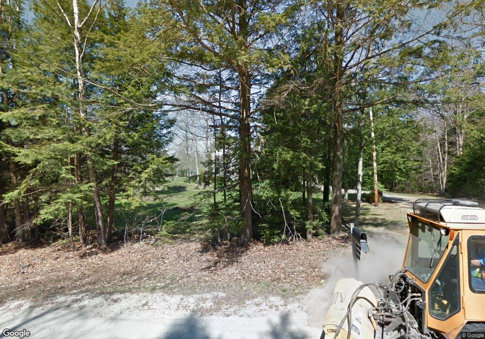
7 Curtis Rd Freeport, ME 04032
Estimated Value: $657,000 - $907,000
3
Beds
3
Baths
2,948
Sq Ft
$273/Sq Ft
Est. Value
About This Home
This home is located at 7 Curtis Rd, Freeport, ME 04032 and is currently estimated at $805,583, approximately $273 per square foot. 7 Curtis Rd is a home with nearby schools including Morse Street School, Mast Landing School, and Freeport Middle School.
Ownership History
Date
Name
Owned For
Owner Type
Purchase Details
Closed on
Jun 25, 2008
Sold by
Daniel Joan T
Bought by
Daniel Ricky J
Current Estimated Value
Home Financials for this Owner
Home Financials are based on the most recent Mortgage that was taken out on this home.
Original Mortgage
$175,000
Outstanding Balance
$109,341
Interest Rate
5.88%
Mortgage Type
Unknown
Estimated Equity
$696,242
Create a Home Valuation Report for This Property
The Home Valuation Report is an in-depth analysis detailing your home's value as well as a comparison with similar homes in the area
Home Values in the Area
Average Home Value in this Area
Purchase History
| Date | Buyer | Sale Price | Title Company |
|---|---|---|---|
| Daniel Ricky J | -- | -- |
Source: Public Records
Mortgage History
| Date | Status | Borrower | Loan Amount |
|---|---|---|---|
| Open | Daniel Ricky J | $175,000 | |
| Closed | Daniel Ricky J | $5,000 | |
| Previous Owner | Daniel Ricky J | $25,000 |
Source: Public Records
Tax History
| Year | Tax Paid | Tax Assessment Tax Assessment Total Assessment is a certain percentage of the fair market value that is determined by local assessors to be the total taxable value of land and additions on the property. | Land | Improvement |
|---|---|---|---|---|
| 2025 | $9,163 | $661,600 | $161,100 | $500,500 |
| 2024 | $8,731 | $654,000 | $153,500 | $500,500 |
| 2023 | $7,853 | $571,100 | $139,500 | $431,600 |
| 2022 | $7,606 | $557,200 | $125,600 | $431,600 |
| 2021 | $7,439 | $557,200 | $125,600 | $431,600 |
| 2020 | $7,238 | $517,000 | $116,300 | $400,700 |
| 2019 | $6,960 | $486,700 | $109,800 | $376,900 |
| 2018 | $6,849 | $455,100 | $102,500 | $352,600 |
| 2017 | $6,529 | $436,700 | $100,200 | $336,500 |
| 2016 | $6,396 | $404,800 | $92,800 | $312,000 |
Source: Public Records
Map
Nearby Homes
Your Personal Tour Guide
Ask me questions while you tour the home.