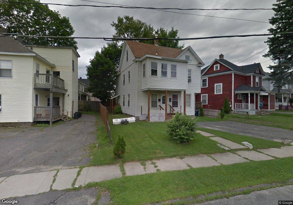
7 Dartmouth St Pittsfield, MA 01201
Estimated Value: $116,000 - $246,743
3
Beds
2
Baths
1,368
Sq Ft
$152/Sq Ft
Est. Value
About This Home
This home is located at 7 Dartmouth St, Pittsfield, MA 01201 and is currently estimated at $207,686, approximately $151 per square foot. 7 Dartmouth St is a home located in Berkshire County with nearby schools including Allendale Elementary School, Theodore Herberg Middle School, and Sinai Academy of the Berkshires.
Ownership History
Date
Name
Owned For
Owner Type
Purchase Details
Closed on
Jun 21, 2004
Sold by
Graves Scott and Sondrini Nathan G
Bought by
Ogrady Carol A
Current Estimated Value
Purchase Details
Closed on
Feb 7, 2003
Sold by
Murphy Jacqueline B and Magner Jacqueline B
Bought by
Graves Scott
Purchase Details
Closed on
May 20, 1987
Sold by
Quetti Joseph J
Bought by
Magner Jacqueline B
Create a Home Valuation Report for This Property
The Home Valuation Report is an in-depth analysis detailing your home's value as well as a comparison with similar homes in the area
Home Values in the Area
Average Home Value in this Area
Purchase History
| Date | Buyer | Sale Price | Title Company |
|---|---|---|---|
| Ogrady Carol A | $69,000 | -- | |
| Ogrady Carol A | $69,000 | -- | |
| Graves Scott | $27,500 | -- | |
| Graves Scott | $27,500 | -- | |
| Graves Scott | $27,500 | -- | |
| Magner Jacqueline B | $69,072 | -- |
Source: Public Records
Mortgage History
| Date | Status | Borrower | Loan Amount |
|---|---|---|---|
| Open | Magner Jacqueline B | $31,000 | |
| Closed | Magner Jacqueline B | $29,702 | |
| Closed | Magner Jacqueline B | $25,000 |
Source: Public Records
Tax History Compared to Growth
Tax History
| Year | Tax Paid | Tax Assessment Tax Assessment Total Assessment is a certain percentage of the fair market value that is determined by local assessors to be the total taxable value of land and additions on the property. | Land | Improvement |
|---|---|---|---|---|
| 2025 | $1,756 | $97,900 | $30,600 | $67,300 |
| 2024 | $1,622 | $87,900 | $30,600 | $57,300 |
| 2023 | $1,515 | $82,700 | $30,600 | $52,100 |
| 2022 | $1,399 | $75,400 | $26,200 | $49,200 |
| 2021 | $1,407 | $73,100 | $26,200 | $46,900 |
| 2020 | $1,409 | $71,500 | $26,200 | $45,300 |
| 2019 | $1,460 | $75,200 | $26,200 | $49,000 |
| 2018 | $1,459 | $72,900 | $26,200 | $46,700 |
| 2017 | $1,445 | $73,600 | $24,500 | $49,100 |
| 2016 | $1,351 | $72,000 | $24,500 | $47,500 |
| 2015 | $1,300 | $72,000 | $24,500 | $47,500 |
Source: Public Records
Map
Nearby Homes
- 919 Tyler St
- 81 Dartmouth St Unit 102
- LOT 20 Plunkett St
- 40 Pembroke Ave
- 48 Brown St
- 0 Brown St
- 41 Brown St
- I11001904 Scammell Ave
- 326 Dalton Ave
- 156 Draper Ave
- 67 Scammell Ave
- 153 Elberon Ave
- 24 Glenwood Ave
- 56 Spring St
- 762 East St
- 29 Glenwood Ave
- 129 Newell St
- 25 Ashley St
- 135 Allengate Ave
- 63 Reuter Ave
- 9 Dartmouth St
- 1093 Tyler St
- 1093 Tyler St
- 1083 Tyler St
- 1083 Tyler St
- 15 Dartmouth St
- 1071 Tyler St
- 19 Dartmouth St
- 16 Dartmouth St
- 1067 Tyler St
- 20 Dartmouth St
- 23 Dartmouth St
- 1053 Tyler St
- 12 Harvard St
- 24 Dartmouth St
- 4 Harvard St
- 125 Benedict Rd
- 28 Dartmouth St
- 29 Dartmouth St
- 29 Dartmouth St Unit 2L