7 Davis Way Standish, ME 04084
Estimated Value: $369,495 - $583,000
4
Beds
2
Baths
1,764
Sq Ft
$268/Sq Ft
Est. Value
About This Home
This home is located at 7 Davis Way, Standish, ME 04084 and is currently estimated at $473,124, approximately $268 per square foot. 7 Davis Way is a home located in Cumberland County with nearby schools including Bonny Eagle High School and Standish Baptist Academy.
Ownership History
Date
Name
Owned For
Owner Type
Purchase Details
Closed on
Jun 17, 2009
Sold by
Olesen Ross A and Olesen Amber S
Bought by
7 Davis Way Res Land T
Current Estimated Value
Home Financials for this Owner
Home Financials are based on the most recent Mortgage that was taken out on this home.
Original Mortgage
$90,000
Outstanding Balance
$57,291
Interest Rate
4.91%
Mortgage Type
Purchase Money Mortgage
Estimated Equity
$415,833
Create a Home Valuation Report for This Property
The Home Valuation Report is an in-depth analysis detailing your home's value as well as a comparison with similar homes in the area
Home Values in the Area
Average Home Value in this Area
Purchase History
| Date | Buyer | Sale Price | Title Company |
|---|---|---|---|
| 7 Davis Way Res Land T | -- | -- | |
| 7 Davis Way Res Land T | -- | -- |
Source: Public Records
Mortgage History
| Date | Status | Borrower | Loan Amount |
|---|---|---|---|
| Open | 7 Davis Way Res Land T | $90,000 | |
| Closed | 7 Davis Way Res Land T | $90,000 |
Source: Public Records
Tax History Compared to Growth
Tax History
| Year | Tax Paid | Tax Assessment Tax Assessment Total Assessment is a certain percentage of the fair market value that is determined by local assessors to be the total taxable value of land and additions on the property. | Land | Improvement |
|---|---|---|---|---|
| 2024 | $3,182 | $252,500 | $72,000 | $180,500 |
| 2023 | $3,039 | $219,400 | $65,200 | $154,200 |
| 2022 | $2,912 | $201,500 | $59,100 | $142,400 |
| 2021 | $2,856 | $190,400 | $54,800 | $135,600 |
| 2019 | $2,691 | $188,200 | $52,600 | $135,600 |
| 2018 | $2,556 | $183,900 | $48,300 | $135,600 |
| 2017 | $2,437 | $183,900 | $48,300 | $135,600 |
| 2016 | $2,358 | $183,900 | $48,300 | $135,600 |
| 2015 | $2,352 | $183,900 | $48,300 | $135,600 |
| 2013 | $2,222 | $183,900 | $48,300 | $135,600 |
Source: Public Records
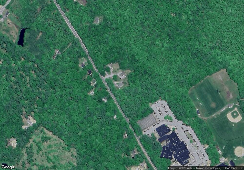
Map
Nearby Homes
- 541 Cape Rd
- 7 Pelletier Dr
- Lot 8 Pelletier Dr
- Lot 10 Pelletier Dr
- 580 Bonny Eagle Rd
- 47 Proprietors Rd
- Lot 2 Commerce Way
- 135 Bonny Eagle Rd
- 379 Bonny Eagle Rd
- 21 Deer Hill Ave
- 21 Holiday Ln
- 9 Holiday Ln
- 23 Bonny Eagle Rd
- 4 Pelletier Dr
- 31 Dorothy Dr
- 2 Bonny Eagle Rd
- 324 Ossipee Trail W Unit 2
- 170&0 Cram Rd
- 17 Fox Track
- 125 Old Thompson Rd