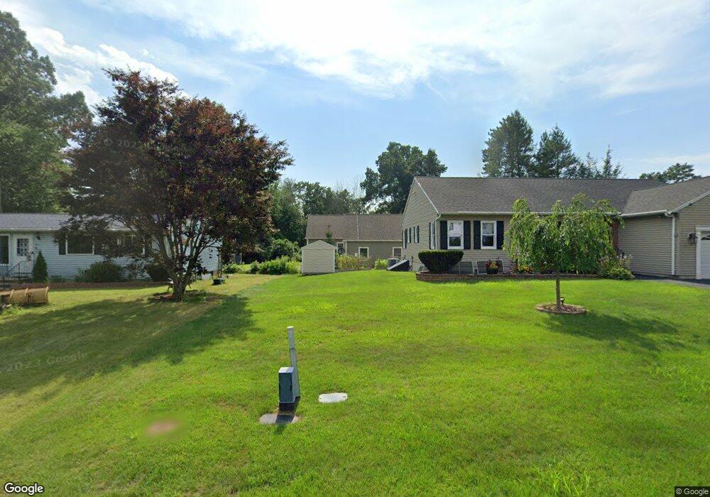
7 Dearborn Rd Methuen, MA 01844
The East End NeighborhoodEstimated Value: $776,000 - $847,000
3
Beds
3
Baths
2,738
Sq Ft
$300/Sq Ft
Est. Value
About This Home
This home is located at 7 Dearborn Rd, Methuen, MA 01844 and is currently estimated at $821,373, approximately $299 per square foot. 7 Dearborn Rd is a home located in Essex County with nearby schools including Timony Grammar School, Methuen High School, and Saint Monica School.
Ownership History
Date
Name
Owned For
Owner Type
Purchase Details
Closed on
Oct 18, 2012
Sold by
Est Powers Eileen P and Madigan Joseph
Bought by
Comeau Patricia L
Current Estimated Value
Home Financials for this Owner
Home Financials are based on the most recent Mortgage that was taken out on this home.
Original Mortgage
$78,835
Interest Rate
3.57%
Mortgage Type
New Conventional
Purchase Details
Closed on
May 4, 1989
Sold by
Chapel Rlty & Dev
Bought by
Saab Edward J
Create a Home Valuation Report for This Property
The Home Valuation Report is an in-depth analysis detailing your home's value as well as a comparison with similar homes in the area
Home Values in the Area
Average Home Value in this Area
Purchase History
| Date | Buyer | Sale Price | Title Company |
|---|---|---|---|
| Comeau Patricia L | $74,900 | -- | |
| Saab Edward J | $207,737 | -- |
Source: Public Records
Mortgage History
| Date | Status | Borrower | Loan Amount |
|---|---|---|---|
| Closed | Comeau Patricia L | $78,835 | |
| Previous Owner | Saab Edward J | $21,200 | |
| Closed | Saab Edward J | $0 |
Source: Public Records
Tax History
| Year | Tax Paid | Tax Assessment Tax Assessment Total Assessment is a certain percentage of the fair market value that is determined by local assessors to be the total taxable value of land and additions on the property. | Land | Improvement |
|---|---|---|---|---|
| 2025 | $8,044 | $760,300 | $190,500 | $569,800 |
| 2024 | $8,281 | $762,500 | $173,700 | $588,800 |
| 2023 | $7,689 | $657,200 | $154,400 | $502,800 |
| 2022 | $7,688 | $589,100 | $128,700 | $460,400 |
| 2021 | $7,291 | $552,800 | $122,300 | $430,500 |
| 2020 | $7,270 | $540,900 | $122,300 | $418,600 |
| 2019 | $7,064 | $497,800 | $109,400 | $388,400 |
| 2018 | $6,848 | $479,900 | $109,400 | $370,500 |
| 2017 | $6,491 | $443,100 | $109,400 | $333,700 |
| 2016 | $6,013 | $406,000 | $103,000 | $303,000 |
| 2015 | $5,704 | $390,700 | $103,000 | $287,700 |
Source: Public Records
Map
Nearby Homes
- 687 Jackson St
- 611 Prospect St
- 593 Prospect St
- 14 Buttonwood Dr
- Lot 108 Garden City Rd
- 37 Albion St
- 64-66 Howe St
- 82 Oakside Ave
- 25-27 Bicknell Ave
- 169 Berkeley St
- 3 Adams Ave
- 159-161 Howe St
- Lot 2 Washington St
- 25 Carol Ave
- 29 Center St
- 9-11 Horne St
- 7 Brentwood Ave
- 129-131 Lexington St
- 12 Annette St
- 68 Ashford St
Your Personal Tour Guide
Ask me questions while you tour the home.