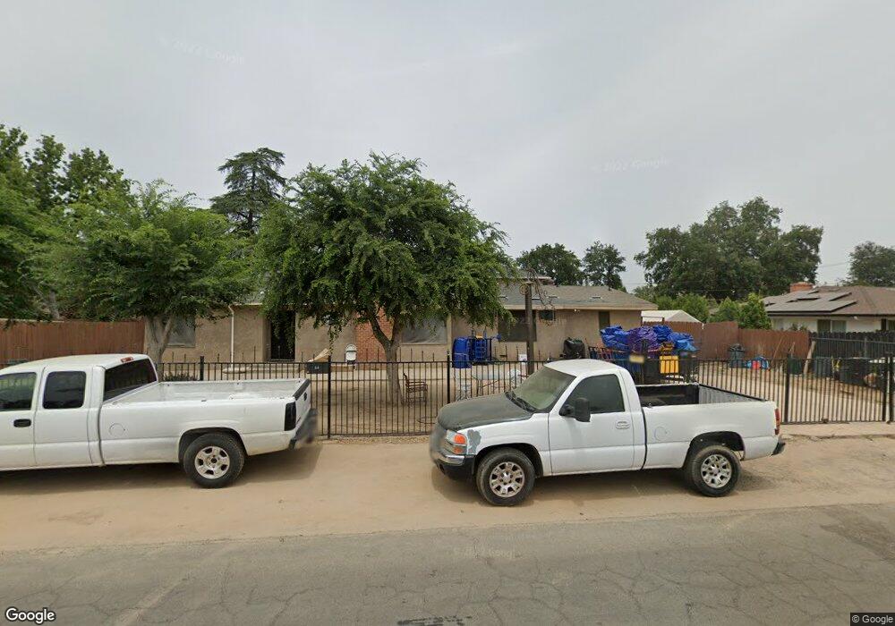
7 E Swift Ave Fresno, CA 93704
Fig Garden NeighborhoodEstimated Value: $356,000 - $443,000
4
Beds
2
Baths
1,396
Sq Ft
$289/Sq Ft
Est. Value
About This Home
This home is located at 7 E Swift Ave, Fresno, CA 93704 and is currently estimated at $403,922, approximately $289 per square foot. 7 E Swift Ave is a home located in Fresno County with nearby schools including Powers-Ginsburg Elementary, Bullard High School, and Endeavor Charter.
Ownership History
Date
Name
Owned For
Owner Type
Purchase Details
Closed on
Feb 8, 1996
Sold by
Garland Michael R and Garland Beverly
Bought by
Sustaita Tranquilino S and Sustaita Imelda
Current Estimated Value
Home Financials for this Owner
Home Financials are based on the most recent Mortgage that was taken out on this home.
Original Mortgage
$107,100
Interest Rate
6.98%
Mortgage Type
VA
Create a Home Valuation Report for This Property
The Home Valuation Report is an in-depth analysis detailing your home's value as well as a comparison with similar homes in the area
Home Values in the Area
Average Home Value in this Area
Purchase History
| Date | Buyer | Sale Price | Title Company |
|---|---|---|---|
| Sustaita Tranquilino S | -- | Stewart Title |
Source: Public Records
Mortgage History
| Date | Status | Borrower | Loan Amount |
|---|---|---|---|
| Previous Owner | Sustaita Tranquilino S | $107,100 |
Source: Public Records
Tax History Compared to Growth
Tax History
| Year | Tax Paid | Tax Assessment Tax Assessment Total Assessment is a certain percentage of the fair market value that is determined by local assessors to be the total taxable value of land and additions on the property. | Land | Improvement |
|---|---|---|---|---|
| 2025 | $2,340 | $198,351 | $49,820 | $148,531 |
| 2023 | $2,294 | $190,651 | $47,887 | $142,764 |
| 2022 | $2,261 | $186,914 | $46,949 | $139,965 |
| 2021 | $2,197 | $183,250 | $46,029 | $137,221 |
| 2020 | $2,187 | $181,372 | $45,558 | $135,814 |
| 2019 | $2,101 | $177,816 | $44,665 | $133,151 |
| 2018 | $2,054 | $174,331 | $43,790 | $130,541 |
| 2017 | $2,017 | $170,914 | $42,932 | $127,982 |
| 2016 | $1,948 | $167,564 | $42,091 | $125,473 |
| 2015 | $1,917 | $165,048 | $41,459 | $123,589 |
| 2014 | $1,878 | $161,816 | $40,647 | $121,169 |
Source: Public Records
Map
Nearby Homes
- 4481 N Palm Ave
- 4480 N Palm Ave
- 82 E Sussex Way
- 94 E Sussex Way
- 4176 N Wilson Ave
- 336 E Gettysburg Ave
- 4666 N Harrison Ave
- 4175 N Van Ness Blvd
- 4246 N Holt Ave
- 3932 N Safford Ave
- 4264 N Holt Ave
- 4702 N Fruit Ave
- 4734 N Harrison Ave
- 4261 N Holt Ave
- 1028 W Holland Ave
- 929 W Norwich Ave
- 556 E Pontiac Way
- 4689 N Van Ness Blvd
- 4822 N Safford Ave
- 1027 W Ashcroft Ave
- 4328 N Thorne Ave
- 35 E Swift Ave
- 12 E Swift Ave
- 26 E Swift Ave
- 4333 N Thorne Ave
- 4287 N Thorne Ave
- 48 E Swift Ave
- 4343 N Thorne Ave
- 4278 N Thorne Ave
- 61 E Swift Ave
- 4352 N Thorne Ave
- 25 E Austin Way
- 64 E Swift Ave
- 120 W Swift Ave
- 4372 N Thorne Ave
- 119 W Swift Ave
- 73 E Swift Ave
- 4273 N Thorne Ave
- 37 E Austin Way
- 4246 N Thorne Ave
