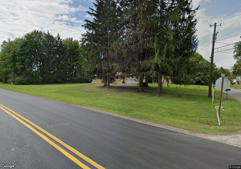
7 Elliot Rd West Middlesex, PA 16159
Estimated Value: $83,513 - $288,000
--
Bed
--
Bath
--
Sq Ft
0.99
Acres
About This Home
This home is located at 7 Elliot Rd, West Middlesex, PA 16159 and is currently estimated at $200,128. 7 Elliot Rd is a home located in Mercer County with nearby schools including Luther W Low Elementary School, Oakview Elementary School, and West Middlesex Junior/Senior High School.
Ownership History
Date
Name
Owned For
Owner Type
Purchase Details
Closed on
Dec 20, 2007
Sold by
Federal National Mortgage Association
Bought by
Masotto Anthony Stanley
Current Estimated Value
Home Financials for this Owner
Home Financials are based on the most recent Mortgage that was taken out on this home.
Original Mortgage
$78,850
Outstanding Balance
$49,909
Interest Rate
6.3%
Mortgage Type
Purchase Money Mortgage
Estimated Equity
$150,219
Purchase Details
Closed on
Jan 2, 2007
Sold by
Brezak Julia B
Bought by
Federal National Mortgage Association
Purchase Details
Closed on
Apr 20, 2005
Sold by
Brezak Julia
Bought by
Brezak Julia
Home Financials for this Owner
Home Financials are based on the most recent Mortgage that was taken out on this home.
Original Mortgage
$65,000
Interest Rate
6.01%
Mortgage Type
New Conventional
Create a Home Valuation Report for This Property
The Home Valuation Report is an in-depth analysis detailing your home's value as well as a comparison with similar homes in the area
Home Values in the Area
Average Home Value in this Area
Purchase History
| Date | Buyer | Sale Price | Title Company |
|---|---|---|---|
| Masotto Anthony Stanley | $83,000 | None Available | |
| Federal National Mortgage Association | -- | None Available | |
| Brezak Julia | -- | None Available |
Source: Public Records
Mortgage History
| Date | Status | Borrower | Loan Amount |
|---|---|---|---|
| Open | Masotto Anthony Stanley | $78,850 | |
| Previous Owner | Brezak Julia | $65,000 |
Source: Public Records
Tax History Compared to Growth
Tax History
| Year | Tax Paid | Tax Assessment Tax Assessment Total Assessment is a certain percentage of the fair market value that is determined by local assessors to be the total taxable value of land and additions on the property. | Land | Improvement |
|---|---|---|---|---|
| 2025 | $2,436 | $21,600 | $1,650 | $19,950 |
| 2024 | $2,436 | $21,600 | $1,650 | $19,950 |
| 2023 | $2,360 | $21,600 | $1,650 | $19,950 |
| 2022 | $2,339 | $21,600 | $1,650 | $19,950 |
| 2021 | $2,303 | $21,600 | $1,650 | $19,950 |
| 2020 | $2,303 | $21,600 | $1,650 | $19,950 |
| 2019 | $2,224 | $21,600 | $1,650 | $19,950 |
| 2018 | $2,177 | $21,600 | $1,650 | $19,950 |
| 2017 | $2,144 | $21,600 | $1,650 | $19,950 |
| 2016 | -- | $21,600 | $1,650 | $19,950 |
| 2015 | -- | $21,600 | $1,650 | $19,950 |
| 2014 | -- | $21,600 | $1,650 | $19,950 |
Source: Public Records
Map
Nearby Homes
- 1 Grandview Dr
- 940 Wheatland Rd
- 3404 Hubbard-Middlesex Rd
- 11 Clubhouse Dr
- 774 Wheatland Rd
- 88 Fetsko Rd
- 00 Lilac Dr
- 164 Chestnut St
- 115 Fleetwood Ct
- 104 Fruit Ave
- 223 Emerson Ave
- 3134 Main St Unit 180
- 3406 New Castle Rd
- 300 Beechwood Ave
- 327 Lincoln Ave
- 3070 Spangler Rd
- 411 Emerson Ave
- 0 Hoezle Rd
- 504 Beechwood Ave
- 2085 Debrakeleer Ave