7 Farm Rd Moultonborough, NH 03254
Estimated Value: $670,000 - $869,000
3
Beds
3
Baths
2,404
Sq Ft
$314/Sq Ft
Est. Value
About This Home
This home is located at 7 Farm Rd, Moultonborough, NH 03254 and is currently estimated at $753,949, approximately $313 per square foot. 7 Farm Rd is a home located in Carroll County with nearby schools including Moultonborough Central School and Moultonborough Academy High School.
Ownership History
Date
Name
Owned For
Owner Type
Purchase Details
Closed on
Oct 12, 2010
Sold by
Fnma
Bought by
Crabtree Brian S
Current Estimated Value
Home Financials for this Owner
Home Financials are based on the most recent Mortgage that was taken out on this home.
Original Mortgage
$184,000
Interest Rate
4.25%
Mortgage Type
Unknown
Purchase Details
Closed on
Sep 15, 2009
Sold by
Bourassa Pamela R and Fnma
Bought by
Federal National Mortgage Association
Purchase Details
Closed on
Jun 22, 2005
Sold by
Skiffington Homes Inc
Bought by
Bourassa Pamela R
Home Financials for this Owner
Home Financials are based on the most recent Mortgage that was taken out on this home.
Original Mortgage
$279,900
Interest Rate
5.82%
Mortgage Type
Purchase Money Mortgage
Create a Home Valuation Report for This Property
The Home Valuation Report is an in-depth analysis detailing your home's value as well as a comparison with similar homes in the area
Home Values in the Area
Average Home Value in this Area
Purchase History
| Date | Buyer | Sale Price | Title Company |
|---|---|---|---|
| Crabtree Brian S | $115,000 | -- | |
| Federal National Mortgage Association | $282,600 | -- | |
| Bourassa Pamela R | $349,900 | -- |
Source: Public Records
Mortgage History
| Date | Status | Borrower | Loan Amount |
|---|---|---|---|
| Open | Bourassa Pamela R | $157,000 | |
| Closed | Bourassa Pamela R | $184,000 | |
| Closed | Bourassa Pamela R | $184,000 | |
| Previous Owner | Bourassa Pamela R | $279,900 |
Source: Public Records
Tax History Compared to Growth
Tax History
| Year | Tax Paid | Tax Assessment Tax Assessment Total Assessment is a certain percentage of the fair market value that is determined by local assessors to be the total taxable value of land and additions on the property. | Land | Improvement |
|---|---|---|---|---|
| 2024 | $3,116 | $551,500 | $129,100 | $422,400 |
| 2023 | $3,003 | $526,800 | $114,100 | $412,700 |
| 2022 | $2,272 | $475,300 | $102,800 | $372,500 |
| 2021 | $2,904 | $416,100 | $98,900 | $317,200 |
| 2020 | $2,879 | $403,800 | $98,900 | $304,900 |
| 2019 | $2,766 | $386,800 | $99,000 | $287,800 |
| 2018 | $2,876 | $372,600 | $90,500 | $282,100 |
| 2017 | $2,947 | $358,500 | $90,500 | $268,000 |
| 2016 | $2,942 | $336,600 | $90,500 | $246,100 |
| 2015 | $2,817 | $312,600 | $90,500 | $222,100 |
| 2014 | $2,563 | $289,300 | $90,500 | $198,800 |
| 2013 | $2,533 | $291,500 | $90,500 | $201,000 |
Source: Public Records
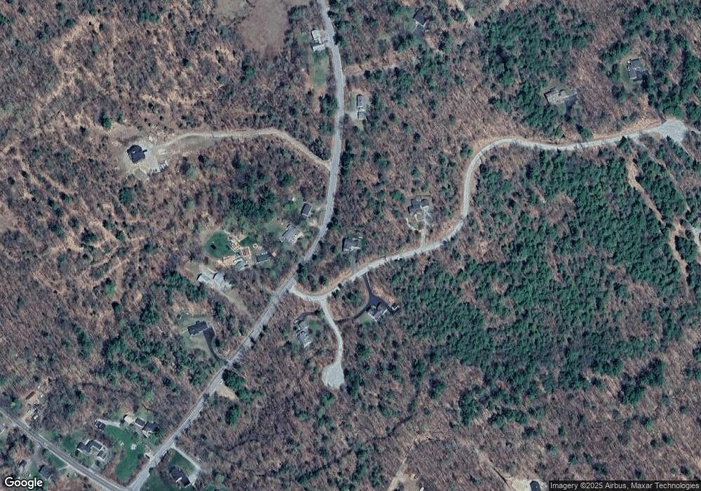
Map
Nearby Homes
- 66 Hayes Ln
- 16 Buckingham Terrace
- 538 Governor Wentworth Hwy
- 284 Ossipee Mountain Rd
- 17 Whitehouse Farm Ln
- 11 Harriet Ln
- 0 States Landing Rd Unit 4
- 7 Eden Ln
- 22 Sundorf St
- 122-1 Gwh Hwy
- 00 Sundorf St Unit 117
- 72 Sundorf St
- 122-001-002 Governor Wentworth Hwy
- 00 Grande St Unit 44
- 139 Skyline Dr
- 41 Saint Gallen St
- 0 Moose Walk
- 2 Garland Pond Rd
- 0 Garland Pond Rd Unit 76
- 28 Moose Walk
- 72 Ossipee Mountain Rd
- 57 Ossipee Mountain Rd
- 51 Ossipee Mountain Rd
- 10 Farm Rd
- 13 Farm Rd
- 47 Ossipee Mountain Rd
- Lot 1 Ossipee Mountain Rd
- 6 Whitetail Cir
- 47 Ossipee Mt Rd
- 0 Hayes Farm Rd Unit 70077340
- 00 Ossipee Mountain Rd
- 00 Ossipee Mountain Rd Unit 7.2
- 41 Ossipee Mountain Rd
- 70 Ossipee Mountain Rd
- 70 Ossipee Mountain Rd Unit 19
- 21 Ossipee Mountain Rd
- 1 Ossipee Mountain Rd
- 5 Ossipee Mountain Rd
- 5 Ossipee Mountain Rd Unit 49/5
- 93 Ossipee Mountain Rd