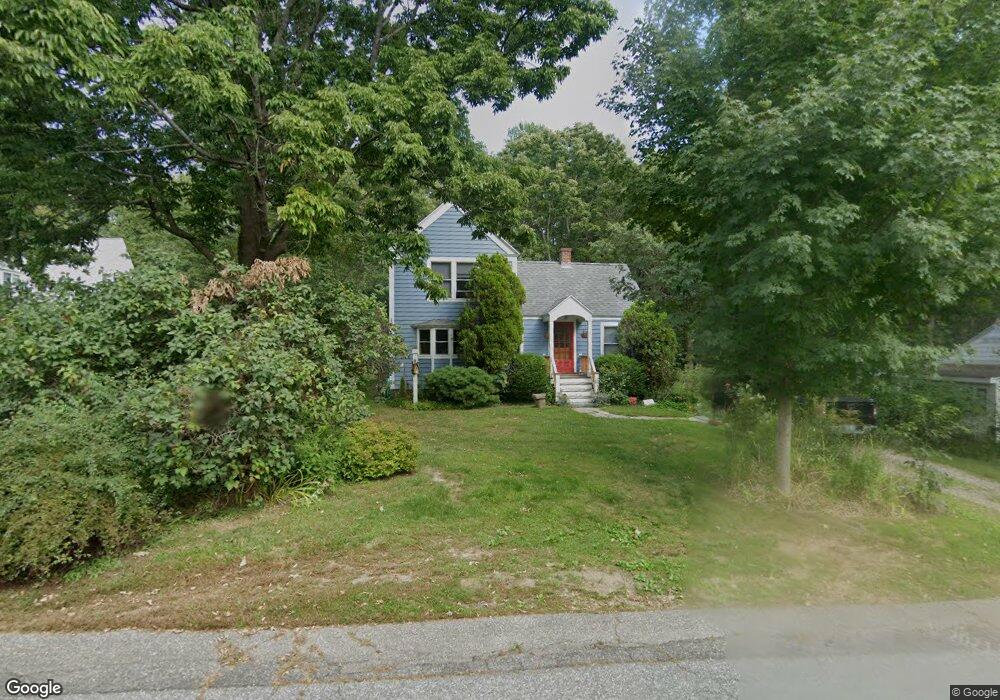
7 Gerrish Island Ln Kittery Point, ME 03905
Kittery Point NeighborhoodEstimated Value: $562,719 - $765,000
2
Beds
2
Baths
1,782
Sq Ft
$372/Sq Ft
Est. Value
About This Home
This home is located at 7 Gerrish Island Ln, Kittery Point, ME 03905 and is currently estimated at $663,680, approximately $372 per square foot. 7 Gerrish Island Ln is a home with nearby schools including Horace Mitchell Primary School, Shapleigh School, and Robert W Traip Academy.
Ownership History
Date
Name
Owned For
Owner Type
Purchase Details
Closed on
Feb 16, 2005
Sold by
Kern Joanne E and Kern John J
Bought by
Kern Joann E and Kern John J
Current Estimated Value
Home Financials for this Owner
Home Financials are based on the most recent Mortgage that was taken out on this home.
Original Mortgage
$227,000
Interest Rate
5.78%
Mortgage Type
Purchase Money Mortgage
Create a Home Valuation Report for This Property
The Home Valuation Report is an in-depth analysis detailing your home's value as well as a comparison with similar homes in the area
Home Values in the Area
Average Home Value in this Area
Purchase History
| Date | Buyer | Sale Price | Title Company |
|---|---|---|---|
| Kern Joann E | -- | -- |
Source: Public Records
Mortgage History
| Date | Status | Borrower | Loan Amount |
|---|---|---|---|
| Closed | Kern Joann E | $227,000 |
Source: Public Records
Tax History Compared to Growth
Tax History
| Year | Tax Paid | Tax Assessment Tax Assessment Total Assessment is a certain percentage of the fair market value that is determined by local assessors to be the total taxable value of land and additions on the property. | Land | Improvement |
|---|---|---|---|---|
| 2024 | $4,592 | $323,400 | $148,400 | $175,000 |
| 2023 | $4,401 | $323,400 | $148,400 | $175,000 |
| 2022 | $4,359 | $323,400 | $148,400 | $175,000 |
| 2021 | $4,182 | $321,700 | $148,400 | $173,300 |
| 2020 | $0 | $321,700 | $148,400 | $173,300 |
| 2019 | $3,772 | $216,800 | $80,200 | $136,600 |
| 2018 | $0 | $216,800 | $80,200 | $136,600 |
| 2017 | $0 | $216,800 | $80,200 | $136,600 |
| 2016 | $3,480 | $216,800 | $80,200 | $136,600 |
| 2015 | $3,377 | $215,500 | $80,200 | $135,300 |
| 2014 | $3,345 | $215,500 | $80,200 | $135,300 |
| 2013 | $3,280 | $215,500 | $80,200 | $135,300 |
Source: Public Records
Map
Nearby Homes
- 39 Tenney Hill Rd
- 15 Foyes Ln
- 58 Foyes Ln
- 132 Pepperrell Rd
- 72 Pepperrell Rd
- 25 Bartlett Rd
- 2 Washburn Farm Ln Unit 1
- 7 Washburn Farm Ln Unit 9
- 20 Washburn Farm Ln Unit 5
- 18 Washburn Farm Ln Unit 4
- 12 Washburn Farm Ln Unit 3
- 78 Norton Rd Unit 6
- 299 Haley Rd
- 24 Seabreeze Ln
- 109 Bartlett Rd
- 205 Whipple Rd
- 15 Atkinson St
- 13 Washburn Farm Ln Unit 7
- 17 Elm Ct
- 3 Izzy Ln
- 9 Gerrish Island Ln
- 50 Tenney Hill Rd
- Lot 2 Brave Boat Harbor Rd
- 10 Gerrish Island Ln
- 12 Gerrish Island Ln
- 48 Tenney Hill Rd
- 13 Gerrish Island Ln
- 57 Brave Boat Harbor Rd
- 54 Brave Boat Harbor Rd
- 15 Gerrish Island Ln
- 14 Gerrish Island Ln
- 56 Brave Boat Harbor Rd
- 20 Gerrish Island Ln
- 55 Tenney Hill Rd
- 51 Tenney Hill Rd
- 59 Brave Boat Harbor Rd
- 44 Tenney Hill Rd
- 61 Brave Boat Harbor Rd
- 17 Gerrish Island Ln
- 17 Gerrish Island