7 Grimes Ave East Boothbay, ME 04544
Estimated Value: $515,661 - $697,000
2
Beds
2
Baths
782
Sq Ft
$794/Sq Ft
Est. Value
About This Home
This home is located at 7 Grimes Ave, East Boothbay, ME 04544 and is currently estimated at $620,915, approximately $794 per square foot. 7 Grimes Ave is a home located in Lincoln County with nearby schools including Boothbay Region Elementary School and Boothbay Region High School.
Ownership History
Date
Name
Owned For
Owner Type
Purchase Details
Closed on
Oct 8, 2021
Sold by
Gagliano Steven and Gagliano Janet
Bought by
Gagliano Steven
Current Estimated Value
Home Financials for this Owner
Home Financials are based on the most recent Mortgage that was taken out on this home.
Original Mortgage
$213,000
Outstanding Balance
$193,391
Interest Rate
2.8%
Mortgage Type
Purchase Money Mortgage
Estimated Equity
$427,524
Create a Home Valuation Report for This Property
The Home Valuation Report is an in-depth analysis detailing your home's value as well as a comparison with similar homes in the area
Home Values in the Area
Average Home Value in this Area
Purchase History
| Date | Buyer | Sale Price | Title Company |
|---|---|---|---|
| Gagliano Steven | -- | None Available | |
| Gagliano Steven | -- | None Available | |
| Gagliano Steven | -- | None Available |
Source: Public Records
Mortgage History
| Date | Status | Borrower | Loan Amount |
|---|---|---|---|
| Open | Gagliano Steven | $213,000 | |
| Closed | Gagliano Steven | $213,000 |
Source: Public Records
Tax History Compared to Growth
Tax History
| Year | Tax Paid | Tax Assessment Tax Assessment Total Assessment is a certain percentage of the fair market value that is determined by local assessors to be the total taxable value of land and additions on the property. | Land | Improvement |
|---|---|---|---|---|
| 2024 | $3,308 | $291,438 | $216,260 | $75,178 |
| 2023 | $2,929 | $291,438 | $216,260 | $75,178 |
| 2022 | $2,710 | $291,438 | $216,260 | $75,178 |
| 2021 | $2,783 | $291,438 | $216,260 | $75,178 |
| 2020 | $2,798 | $291,438 | $216,260 | $75,178 |
| 2019 | $2,754 | $291,438 | $216,260 | $75,178 |
| 2018 | $2,710 | $291,438 | $216,260 | $75,178 |
| 2017 | $2,496 | $271,300 | $205,800 | $65,500 |
| 2016 | $2,387 | $271,300 | $205,800 | $65,500 |
| 2015 | $2,374 | $271,300 | $205,800 | $65,500 |
| 2014 | $2,306 | $271,300 | $205,800 | $65,500 |
Source: Public Records
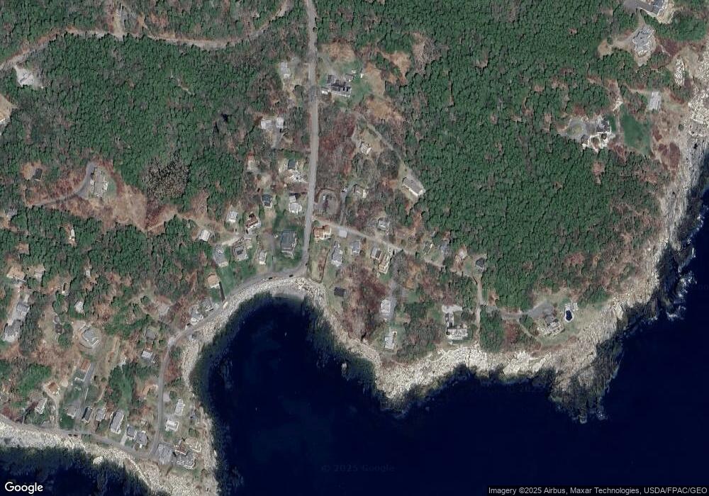
Map
Nearby Homes
- 44 King Phillips Trail
- 12 Westwind Dr
- 31 Bay St
- 74 & 76 Bay St
- 40 Atlantic Ave
- 53 Commercial St
- 27 Townsend Ave
- 37 Townsend Ave
- 34 Townsend Ave
- 391 Cape Newagen Rd
- 63 Townsend Ave
- 26 Sea St
- 17 Cedar Ln Unit 17
- 66 Townsend Ave
- 1 Cedar Ln Unit 1
- 3 Cedar Ln Unit 3
- 12 Sea St
- 66 Townsend Avenue & 43 Oak St
- 43 Oak St
- 5 Massachusetts Ave
- 5 Grimes Ave
- 11 Grimes Ave
- 12 Grimes Ave
- 13 Grimes Ave
- 956 Ocean Point Rd
- 16 Grimes Ave
- 4 Grimes Ave
- 999 Ocean Point Rd
- 5 Seascape Dr
- 941 Ocean Point Rd
- 20 Grimes Ave
- 18 Grimes Ave
- 21 Goldenrod Ln
- 22 Grimes Ave
- 937 Ocean Point Rd
- 19 Goldenrod Ln
- 15 Grimes Ave
- 1 Shore Rd
- 6 Sand Dollar Ln
- 24 Grimes Ave