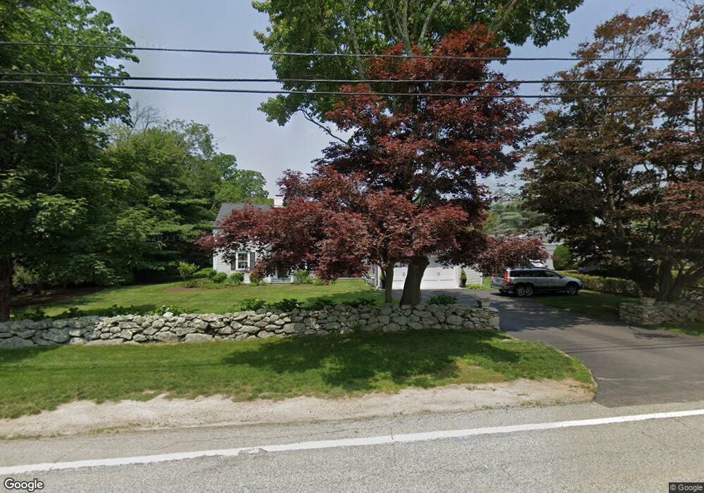
7 Griswold Ave Bristol, RI 02809
Downtown Bristol NeighborhoodEstimated Value: $687,000 - $1,246,000
About This Home
This home is located at 7 Griswold Ave, Bristol, RI 02809 and is currently estimated at $937,247, approximately $685 per square foot. 7 Griswold Ave is a home located in Bristol County with nearby schools including Mt. Hope High School and Our Lady of Mt. Carmel School.
Ownership History
We collect this data history from publicly available records. To have your information removed, we recommend requesting removal directly through your county’s website.
Purchase Details
Home Financials for this Owner
Home Financials are based on the most recent Mortgage that was taken out on this home.Home Values in the Area
Average Home Value in this Area
Purchase History
We collect this data history from publicly available records. To have your information removed, we recommend requesting removal directly through your county’s website.
| Date | Buyer | Sale Price | Title Company |
|---|---|---|---|
| $137,500 | -- |
Mortgage History
We collect this data history from publicly available records. To have your information removed, we recommend requesting removal directly through your county’s website.
| Date | Status | Borrower | Loan Amount |
|---|---|---|---|
| Open | $199,500 | ||
| Closed | $75,000 | ||
| Closed | $37,000 | ||
| Closed | $130,625 |
Tax History
We collect this data history from publicly available records. To have your information removed, we recommend requesting removal directly through your county’s website.
| Year | Tax Paid | Tax Assessment Tax Assessment Total Assessment is a certain percentage of the fair market value that is determined by local assessors to be the total taxable value of land and additions on the property. | Land | Improvement |
|---|---|---|---|---|
| 2025 | $8,805 | $637,100 | $236,500 | $400,600 |
| 2024 | $8,805 | $637,100 | $236,500 | $400,600 |
| 2023 | $8,512 | $637,100 | $236,500 | $400,600 |
| 2022 | $8,282 | $637,100 | $236,500 | $400,600 |
| 2021 | $8,211 | $571,000 | $249,900 | $321,100 |
| 2020 | $8,034 | $571,000 | $249,900 | $321,100 |
| 2019 | $7,798 | $568,400 | $249,900 | $318,500 |
| 2018 | $7,619 | $495,400 | $197,400 | $298,000 |
| 2017 | $6,317 | $423,400 | $168,300 | $255,100 |
| 2016 | $6,254 | $423,400 | $168,300 | $255,100 |
| 2015 | $5,940 | $423,400 | $168,300 | $255,100 |
| 2014 | $6,055 | $463,640 | $203,200 | $260,440 |
Map
- 104 Ferry Rd
- 9 Hope St
- 0 Ferry Rd
- 49 Walley St
- 4 Garfield Ave
- 8 Walley St Unit 3 & 4
- 88 Burton St
- 82 High St Unit 1S
- 34 Foxhill Ave
- 5 Heritage Rd
- 53 Catherine St
- 9 Mason Ave
- 48 Constitution St Unit 1
- 50 Seal Island Rd
- 221 Hope St Unit 2
- 249 Hope St Unit 3
- 4 Monkey Wrench Ln
- 221 State St
- 423 Hope St Unit D
- 302 State St
Ask me questions while you tour the home.