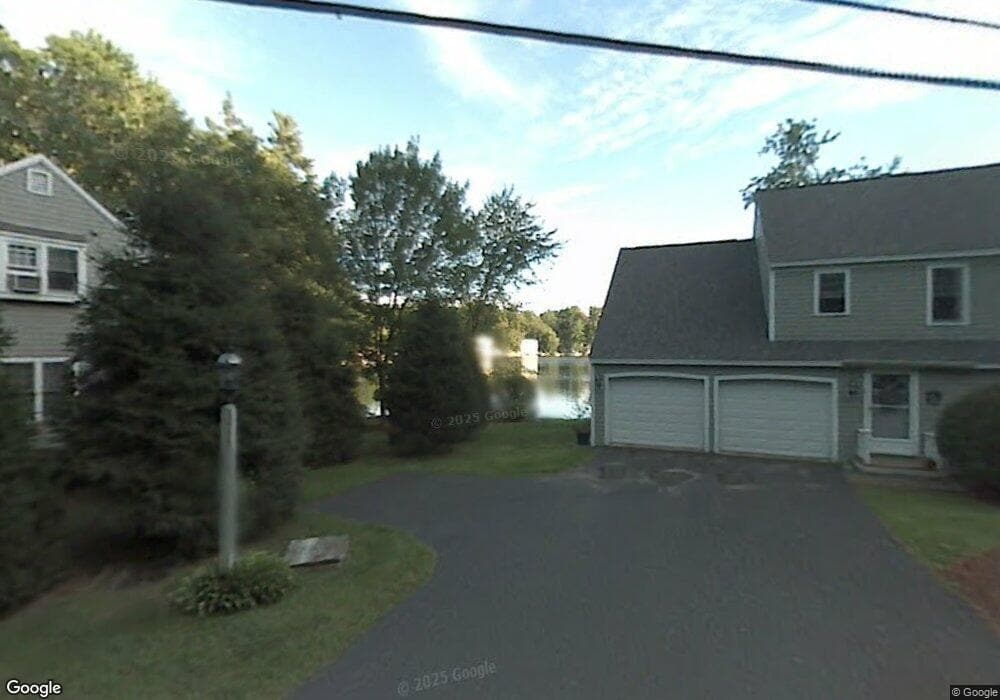
7 Heron Cove Rd Windham, NH 03087
Estimated Value: $718,000 - $1,025,000
2
Beds
3
Baths
1,807
Sq Ft
$445/Sq Ft
Est. Value
About This Home
This home is located at 7 Heron Cove Rd, Windham, NH 03087 and is currently estimated at $804,450, approximately $445 per square foot. 7 Heron Cove Rd is a home located in Rockingham County with nearby schools including Golden Brook Elementary School, Windham Middle School, and Windham High School.
Ownership History
Date
Name
Owned For
Owner Type
Purchase Details
Closed on
Dec 8, 2025
Sold by
Dooley Richard F and Dooley Barbara C
Bought by
Richard F Dooley Ret and Dooley
Current Estimated Value
Purchase Details
Closed on
Jul 8, 2025
Sold by
Barbara Calt Dooley Ret and Dooley
Bought by
Dooley Barbara C and Dooley Richard F
Home Financials for this Owner
Home Financials are based on the most recent Mortgage that was taken out on this home.
Original Mortgage
$250,000
Interest Rate
6.85%
Mortgage Type
New Conventional
Create a Home Valuation Report for This Property
The Home Valuation Report is an in-depth analysis detailing your home's value as well as a comparison with similar homes in the area
Home Values in the Area
Average Home Value in this Area
Purchase History
We collect this data history from publicly available records. To have your information removed, we recommend requesting removal directly through your county’s website.
| Date | Buyer | Sale Price | Title Company |
|---|---|---|---|
| Richard F Dooley Ret | -- | -- | |
| Richard F Dooley Ret | -- | -- | |
| Dooley Barbara C | -- | -- | |
| Dooley Barbara C | -- | -- | |
| Dooley Barbara C | -- | -- | |
| Dooley Barbara C | -- | -- |
Source: Public Records
Mortgage History
We collect this data history from publicly available records. To have your information removed, we recommend requesting removal directly through your county’s website.
| Date | Status | Borrower | Loan Amount |
|---|---|---|---|
| Previous Owner | Dooley Barbara C | $250,000 |
Source: Public Records
Tax History
| Year | Tax Paid | Tax Assessment Tax Assessment Total Assessment is a certain percentage of the fair market value that is determined by local assessors to be the total taxable value of land and additions on the property. | Land | Improvement |
|---|---|---|---|---|
| 2025 | $16,161 | $1,142,100 | $0 | $1,142,100 |
| 2024 | $13,985 | $617,700 | $0 | $617,700 |
| 2023 | $13,219 | $617,700 | $0 | $617,700 |
| 2022 | $12,206 | $617,700 | $0 | $617,700 |
| 2021 | $11,502 | $617,700 | $0 | $617,700 |
| 2020 | $11,817 | $617,700 | $0 | $617,700 |
| 2019 | $12,112 | $537,100 | $0 | $537,100 |
| 2018 | $12,509 | $537,100 | $0 | $537,100 |
| 2017 | $10,849 | $537,100 | $0 | $537,100 |
| 2016 | $11,720 | $537,100 | $0 | $537,100 |
| 2015 | $11,666 | $537,100 | $0 | $537,100 |
| 2014 | $12,206 | $508,600 | $0 | $508,600 |
| 2013 | $11,559 | $489,800 | $0 | $489,800 |
Source: Public Records
Map
Nearby Homes
- 3 Heron Cove Rd
- 1 Heron Cove Rd
- 5 Heron Cove Rd
- 1 Waters Edge Rd
- 3 Waters Edge Rd
- 86 Indian Rock Rd
- 5 Waters Edge Rd
- 2 Granite Hill Rd
- 4 Waters Edge Rd
- 2 Waters Edge Rd
- 8 Waters Edge Rd
- 92 Indian Rock Rd
- 4 Granite Hill Rd
- 4 Granite Hill Rd Unit 4
- 47 Enterprise Dr Unit 6
- 47 Enterprise Dr
- 3 Granite Hill Rd
- 3 Granite Hill Rd Unit E
- 8 Granite Hill Rd
- 6 Granite Hill Rd
Your Personal Tour Guide
Ask me questions while you tour the home.