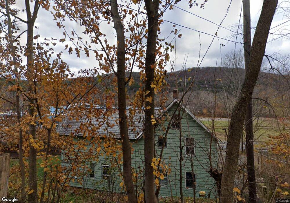
7 High St Colrain, MA 01340
Colrain NeighborhoodEstimated Value: $190,000 - $307,000
4
Beds
2
Baths
1,488
Sq Ft
$159/Sq Ft
Est. Value
About This Home
This home is located at 7 High St, Colrain, MA 01340 and is currently estimated at $237,156, approximately $159 per square foot. 7 High St is a home located in Franklin County with nearby schools including Mohawk Trail Regional High School.
Ownership History
Date
Name
Owned For
Owner Type
Purchase Details
Closed on
Jan 13, 2021
Sold by
North River Llc
Bought by
Ward Sandra and Ward Norman
Current Estimated Value
Purchase Details
Closed on
Nov 3, 2020
Sold by
2019 Castle Llc
Bought by
Ward Sandra and Ward Norman
Purchase Details
Closed on
Dec 13, 1995
Sold by
Kingsbury Richard G and Kingsbury Christina M
Bought by
Geary Patrick J and Geary Cindy As
Create a Home Valuation Report for This Property
The Home Valuation Report is an in-depth analysis detailing your home's value as well as a comparison with similar homes in the area
Home Values in the Area
Average Home Value in this Area
Purchase History
| Date | Buyer | Sale Price | Title Company |
|---|---|---|---|
| Ward Sandra | $1,000 | None Available | |
| Ward Sandra | $1,000 | None Available | |
| Geary Patrick J | $62,000 | -- |
Source: Public Records
Mortgage History
| Date | Status | Borrower | Loan Amount |
|---|---|---|---|
| Previous Owner | Geary Patrick J | $68,000 | |
| Previous Owner | Geary Patrick J | $61,600 | |
| Previous Owner | Geary Patrick J | $40,400 |
Source: Public Records
Tax History
| Year | Tax Paid | Tax Assessment Tax Assessment Total Assessment is a certain percentage of the fair market value that is determined by local assessors to be the total taxable value of land and additions on the property. | Land | Improvement |
|---|---|---|---|---|
| 2025 | $2,449 | $134,100 | $26,600 | $107,500 |
| 2024 | $2,466 | $129,900 | $26,600 | $103,300 |
| 2023 | $2,487 | $126,700 | $26,600 | $100,100 |
| 2022 | $2,142 | $104,600 | $26,600 | $78,000 |
| 2021 | $2,213 | $104,600 | $26,600 | $78,000 |
| 2020 | $2,085 | $104,600 | $26,600 | $78,000 |
| 2019 | $2,016 | $98,000 | $26,600 | $71,400 |
| 2018 | $1,733 | $85,600 | $19,400 | $66,200 |
| 2017 | $1,686 | $85,600 | $19,400 | $66,200 |
| 2016 | $1,599 | $85,600 | $19,400 | $66,200 |
| 2015 | $1,549 | $85,600 | $19,400 | $66,200 |
Source: Public Records
Map
Nearby Homes
- 13 Griswoldville St
- 474 Little Mohawk Rd
- 2155 Massachusetts 2
- 2151 Route 2
- 108 Colrain Shelburne Rd
- 0 Brook Rd
- 10 Deerfield Ave Unit 2
- 2 Modoc Dr
- 2 Franklin St
- 8 Deer Run Path
- 364 Jacksonville Rd
- 151 Smead Hill Rd
- 11 Bray Rd
- 0 W Oxbow Rd Unit 73453651
- 0 W Oxbow Rd Unit 248444
- 24 W Oxbow Rd
- 3 Flagg Hill Rd
- 31 W Oxbow Rd
- 19 Arnold Ln
- 79 S Schoolhouse Rd
Your Personal Tour Guide
Ask me questions while you tour the home.