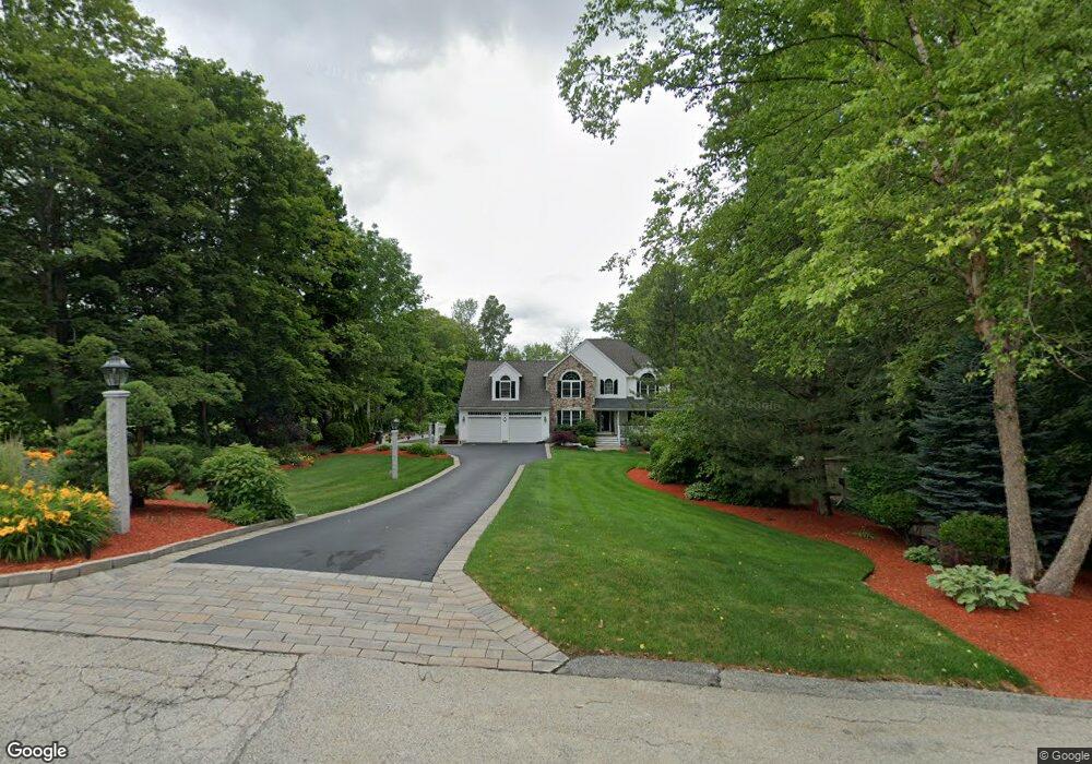
7 Hilltop Farm Rd Auburn, MA 01501
West Auburn NeighborhoodEstimated Value: $786,000 - $904,000
4
Beds
3
Baths
2,750
Sq Ft
$305/Sq Ft
Est. Value
About This Home
This home is located at 7 Hilltop Farm Rd, Auburn, MA 01501 and is currently estimated at $838,116, approximately $304 per square foot. 7 Hilltop Farm Rd is a home located in Worcester County with nearby schools including Auburn Senior High School and Shrewsbury Montessori School - Auburn Campus.
Ownership History
Date
Name
Owned For
Owner Type
Purchase Details
Closed on
Dec 23, 2002
Sold by
Defeudis Dev Co Inc
Bought by
Henderson Scott D and Henderson Margaret D
Current Estimated Value
Home Financials for this Owner
Home Financials are based on the most recent Mortgage that was taken out on this home.
Original Mortgage
$486,000
Interest Rate
6.16%
Mortgage Type
Purchase Money Mortgage
Create a Home Valuation Report for This Property
The Home Valuation Report is an in-depth analysis detailing your home's value as well as a comparison with similar homes in the area
Home Values in the Area
Average Home Value in this Area
Purchase History
| Date | Buyer | Sale Price | Title Company |
|---|---|---|---|
| Henderson Scott D | $100,000 | -- |
Source: Public Records
Mortgage History
| Date | Status | Borrower | Loan Amount |
|---|---|---|---|
| Open | Henderson Scott D | $384,000 | |
| Closed | Henderson Scott D | $405,000 | |
| Closed | Henderson Scott D | $486,000 |
Source: Public Records
Tax History Compared to Growth
Tax History
| Year | Tax Paid | Tax Assessment Tax Assessment Total Assessment is a certain percentage of the fair market value that is determined by local assessors to be the total taxable value of land and additions on the property. | Land | Improvement |
|---|---|---|---|---|
| 2025 | $121 | $844,200 | $201,200 | $643,000 |
| 2024 | $11,323 | $758,400 | $195,800 | $562,600 |
| 2023 | $10,716 | $674,800 | $166,700 | $508,100 |
| 2022 | $10,112 | $601,200 | $166,700 | $434,500 |
| 2021 | $9,210 | $507,700 | $137,200 | $370,500 |
| 2020 | $9,128 | $507,700 | $137,200 | $370,500 |
| 2019 | $9,197 | $499,300 | $135,700 | $363,600 |
| 2018 | $9,148 | $496,100 | $127,100 | $369,000 |
| 2017 | $8,862 | $483,200 | $116,200 | $367,000 |
| 2016 | $8,676 | $479,600 | $119,300 | $360,300 |
| 2015 | $8,228 | $476,700 | $119,300 | $357,400 |
| 2014 | $8,142 | $470,900 | $114,000 | $356,900 |
Source: Public Records
Map
Nearby Homes
- 7 Hilltop Farm Rd
- 8 Hilltop Farm Rd
- 9 Hilltop Farm Rd
- 10 Hilltop Farm Rd
- 6 Hilltop Farm Rd
- 39 Prospect St
- 12 Hilltop Farm Rd
- 11 Hilltop Farm Rd
- 45 Prospect St
- 45 Prospect St Unit 2
- 5 Booth Rd
- 27 Prospect St
- 47 Prospect St
- 3 Booth Rd
- 14 Hilltop Farm Rd
- 13 Hilltop Farm Rd
- 13 Hilltop Farm Rd
- 9 Booth Rd
- 49 Prospect St
- 38 Prospect St