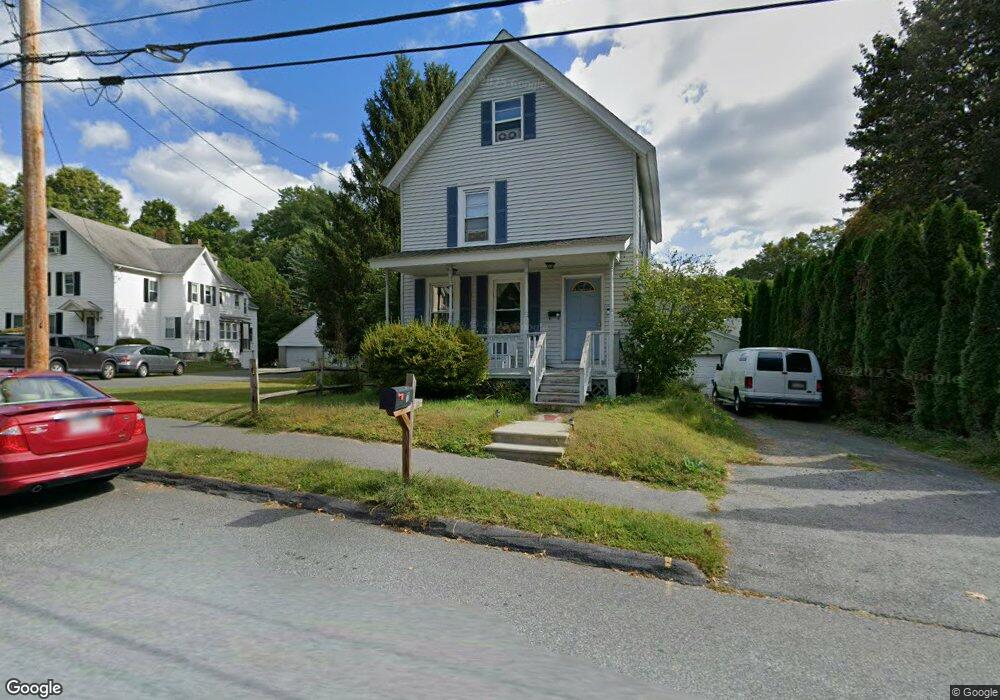
7 Hinckley St Florence, MA 01062
Florence NeighborhoodEstimated Value: $350,461 - $504,000
3
Beds
1
Bath
1,200
Sq Ft
$369/Sq Ft
Est. Value
About This Home
This home is located at 7 Hinckley St, Florence, MA 01062 and is currently estimated at $442,615, approximately $368 per square foot. 7 Hinckley St is a home located in Hampshire County with nearby schools including Northampton High School, The Montessori School of Northampton, and Lander Grinspoon Academy.
Ownership History
Date
Name
Owned For
Owner Type
Purchase Details
Closed on
Jan 15, 2026
Sold by
Simmons Randall G
Bought by
Simmons Dale R
Current Estimated Value
Purchase Details
Closed on
Jun 24, 2021
Sold by
Simmons Linda A
Bought by
Simmons Dale R and Simmons Randall G
Purchase Details
Closed on
Jun 1, 2004
Sold by
Davis Debra L and Gibbs Patricia Candee
Bought by
Davis Debra L and Gibbs Patricia Candee
Create a Home Valuation Report for This Property
The Home Valuation Report is an in-depth analysis detailing your home's value as well as a comparison with similar homes in the area
Home Values in the Area
Average Home Value in this Area
Purchase History
| Date | Buyer | Sale Price | Title Company |
|---|---|---|---|
| Simmons Dale R | -- | -- | |
| Simmons Dale R | -- | None Available | |
| Davis Debra L | -- | -- |
Source: Public Records
Mortgage History
| Date | Status | Borrower | Loan Amount |
|---|---|---|---|
| Previous Owner | Davis Debra L | $30,000 | |
| Previous Owner | Davis Debra L | $65,000 |
Source: Public Records
Tax History
| Year | Tax Paid | Tax Assessment Tax Assessment Total Assessment is a certain percentage of the fair market value that is determined by local assessors to be the total taxable value of land and additions on the property. | Land | Improvement |
|---|---|---|---|---|
| 2025 | $4,469 | $320,800 | $98,500 | $222,300 |
| 2024 | $4,563 | $300,400 | $98,500 | $201,900 |
| 2023 | $4,448 | $280,800 | $89,500 | $191,300 |
| 2022 | $3,764 | $210,400 | $89,500 | $120,900 |
| 2021 | $3,408 | $196,200 | $84,900 | $111,300 |
| 2020 | $3,296 | $196,200 | $84,900 | $111,300 |
| 2019 | $3,299 | $189,900 | $84,900 | $105,000 |
| 2018 | $3,389 | $204,800 | $84,900 | $119,900 |
| 2017 | $3,418 | $204,800 | $84,900 | $119,900 |
| 2016 | $3,310 | $204,800 | $84,900 | $119,900 |
| 2015 | $3,057 | $193,500 | $80,200 | $113,300 |
| 2014 | $2,978 | $193,500 | $80,200 | $113,300 |
Source: Public Records
Map
Nearby Homes
- 63 Riverside Dr
- 37 Landy Ave
- 61 Harrison Ave
- 61 Woodlawn Ave
- 218 Elm St
- 23 Ford Crossing
- 0 Terrace Ln
- 575 Bridge Rd Unit 12-7
- 575 Bridge Rd Unit 10-5
- 76 Maple St
- 67 Park St Unit A
- 589 Florence Rd
- 42 Clark St
- 61 Crescent St Unit 8
- 61 Crescent St Unit 7
- 635 Florence Rd
- 44 Sheffield Ln
- 72 Emerson Way
- 37 Finn St
- 697 Florence Rd
- 195 Riverside Dr
- 189 Riverside Dr
- 15 Hinckley St
- 183 Riverside Dr
- 12 Hinckley St
- 8 Hinckley St
- Lot 264 Riverside Dr
- 264 Riverside Dr
- 213 Riverside Dr
- 16 Hinckley St
- 21 Hinckley St
- 0 Hinckley St Unit 72165190
- 177 Riverside Dr
- 25 Hinckley St
- 26 Hinckley St
- 167 Riverside Dr
- 35 Hinckley St
- 229 Riverside Dr
- 164 Riverside Dr
- 159 Riverside Dr
Your Personal Tour Guide
Ask me questions while you tour the home.