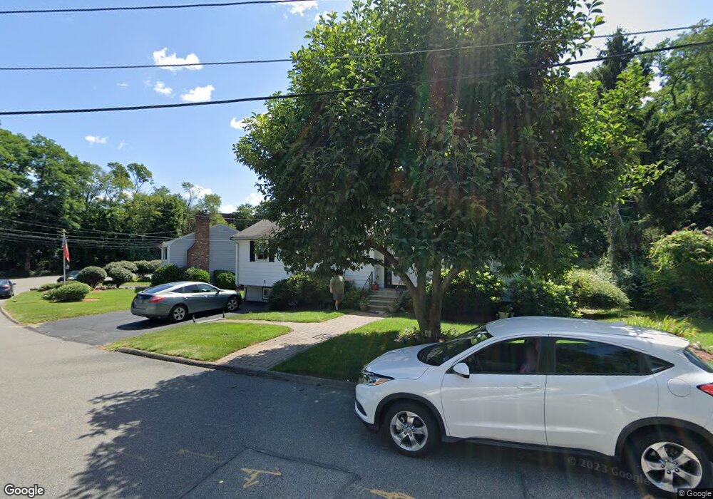
7 Kimball Dr Stoneham, MA 02180
Lindenwood NeighborhoodEstimated Value: $826,133 - $905,000
3
Beds
3
Baths
2,068
Sq Ft
$420/Sq Ft
Est. Value
About This Home
This home is located at 7 Kimball Dr, Stoneham, MA 02180 and is currently estimated at $869,283, approximately $420 per square foot. 7 Kimball Dr is a home located in Middlesex County with nearby schools including Stoneham High School, St. Patrick Elementary School, and St Joseph School.
Ownership History
Date
Name
Owned For
Owner Type
Purchase Details
Closed on
Apr 14, 2023
Sold by
Mansfield Gail M and Mansfield James F
Bought by
G & J Mansfield 2023 Ret
Current Estimated Value
Purchase Details
Closed on
May 30, 1991
Sold by
Laberinto Louis A and Laberinto Dorothy L
Bought by
Mansfield James F and Mansfield Gail
Home Financials for this Owner
Home Financials are based on the most recent Mortgage that was taken out on this home.
Original Mortgage
$135,000
Interest Rate
9.35%
Mortgage Type
Purchase Money Mortgage
Create a Home Valuation Report for This Property
The Home Valuation Report is an in-depth analysis detailing your home's value as well as a comparison with similar homes in the area
Home Values in the Area
Average Home Value in this Area
Purchase History
| Date | Buyer | Sale Price | Title Company |
|---|---|---|---|
| G & J Mansfield 2023 Ret | -- | None Available | |
| Mansfield James F | $185,000 | -- |
Source: Public Records
Mortgage History
| Date | Status | Borrower | Loan Amount |
|---|---|---|---|
| Previous Owner | Mansfield James F | $132,400 | |
| Previous Owner | Mansfield James F | $135,000 |
Source: Public Records
Tax History Compared to Growth
Tax History
| Year | Tax Paid | Tax Assessment Tax Assessment Total Assessment is a certain percentage of the fair market value that is determined by local assessors to be the total taxable value of land and additions on the property. | Land | Improvement |
|---|---|---|---|---|
| 2025 | $7,226 | $706,400 | $400,600 | $305,800 |
| 2024 | $6,984 | $659,500 | $370,600 | $288,900 |
| 2023 | $6,864 | $618,400 | $340,600 | $277,800 |
| 2022 | $6,088 | $584,800 | $320,600 | $264,200 |
| 2021 | $5,995 | $554,100 | $300,600 | $253,500 |
| 2020 | $6,009 | $556,900 | $300,600 | $256,300 |
| 2019 | $5,983 | $533,200 | $270,600 | $262,600 |
| 2018 | $7,419 | $499,500 | $250,600 | $248,900 |
| 2017 | $5,474 | $441,800 | $230,600 | $211,200 |
| 2016 | $5,480 | $431,500 | $230,600 | $200,900 |
| 2015 | $5,398 | $416,500 | $230,600 | $185,900 |
| 2014 | $5,101 | $378,100 | $210,600 | $167,500 |
Source: Public Records
Map
Nearby Homes
- 159 Main St Unit 41C
- 20 Oak St
- 8 Steele St
- 97 Oak St
- 405 William St
- 68 Main St Unit 36C
- 64 Main St Unit 41B
- 1 Tremont St
- 62 High St Unit 4
- 62 High St Unit 3
- 62 High St Unit Lot 12
- 62 High St Unit Lot 2
- 62 High St Unit Lot 9
- 40 Main St Unit 505
- 21 Tremont St Unit A
- 12 Cottage St
- 10 Pomeworth St Unit H
- 25 Penny Ln
- 13 Elaine Rd
- 97 Macarthur Rd