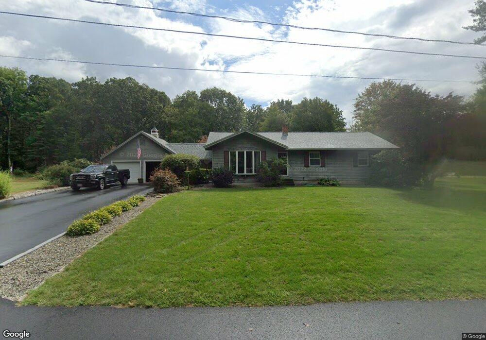
7 Kimberly Ln Turners Falls, MA 01376
Estimated Value: $365,000 - $387,404
3
Beds
2
Baths
1,494
Sq Ft
$251/Sq Ft
Est. Value
About This Home
This home is located at 7 Kimberly Ln, Turners Falls, MA 01376 and is currently estimated at $375,351, approximately $251 per square foot. 7 Kimberly Ln is a home located in Franklin County with nearby schools including Holy Trinity School and Four Winds School.
Ownership History
Date
Name
Owned For
Owner Type
Purchase Details
Closed on
Apr 4, 2019
Sold by
Morin Kenneth G and Morin Joyce I
Bought by
Kenneth G Morin Int G and Kenneth Morin
Current Estimated Value
Purchase Details
Closed on
Jul 1, 1973
Bought by
Morin Kenneth G and Morin Joyce I
Create a Home Valuation Report for This Property
The Home Valuation Report is an in-depth analysis detailing your home's value as well as a comparison with similar homes in the area
Home Values in the Area
Average Home Value in this Area
Purchase History
| Date | Buyer | Sale Price | Title Company |
|---|---|---|---|
| Kenneth G Morin Int G | -- | -- | |
| Kenneth G Morin Int G | -- | -- | |
| Morin Kenneth G | -- | -- |
Source: Public Records
Mortgage History
| Date | Status | Borrower | Loan Amount |
|---|---|---|---|
| Previous Owner | Morin Kenneth G | $75,000 | |
| Previous Owner | Morin Kenneth G | $43,000 | |
| Previous Owner | Morin Kenneth G | $40,000 | |
| Previous Owner | Morin Kenneth G | $25,000 |
Source: Public Records
Tax History Compared to Growth
Tax History
| Year | Tax Paid | Tax Assessment Tax Assessment Total Assessment is a certain percentage of the fair market value that is determined by local assessors to be the total taxable value of land and additions on the property. | Land | Improvement |
|---|---|---|---|---|
| 2025 | $5,281 | $347,200 | $55,400 | $291,800 |
| 2024 | $4,922 | $313,500 | $55,400 | $258,100 |
| 2023 | $4,769 | $304,700 | $55,400 | $249,300 |
| 2022 | $5,189 | $269,300 | $55,400 | $213,900 |
| 2021 | $4,233 | $258,900 | $53,900 | $205,000 |
| 2020 | $4,220 | $243,500 | $53,900 | $189,600 |
| 2019 | $1,235 | $240,400 | $61,300 | $179,100 |
| 2018 | $3,874 | $226,700 | $59,900 | $166,800 |
| 2017 | $3,779 | $226,700 | $59,900 | $166,800 |
| 2016 | $3,703 | $210,300 | $49,400 | $160,900 |
| 2015 | $3,567 | $210,300 | $49,400 | $160,900 |
| 2014 | $3,436 | $210,300 | $49,400 | $160,900 |
Source: Public Records
Map
Nearby Homes
- 89 Montague St
- 114 Montague St
- 38 Randall Wood Dr
- 45 Millers Falls Rd
- 0 Millers Falls Rd Unit 73034825
- 2 Alice St
- 202 Turnpike Rd
- 55 A + B Randall Rd
- 30 Park St
- 21 Hillside Ave
- 183 Millers Falls Rd
- 109 Montague City Rd
- 93 Maple St
- 10 Tulip Ln
- 2 Orchard St
- 79 Burnham Rd
- 43 Crescent St
- 335 Federal St
- 30 Grinnell St
- 0 Marshall St
- 7 Kimberly Ln
- 68 Dell St
- 72 Dell St
- 803 Fairway Ave
- 804 Fairway Ave
- 802 Fairway Ave
- 801 Fairway Ave
- 66 Dell St
- 76 Dell St
- 706 Fairway Ave
- 705 Fairway Ave
- 710 Fairway Ave
- 709 Fairway Ave
- 708 Fairway Ave
- 707 Fairway Ave
- 706 Fairway Ave Unit 706
- 708 Fairway Ave Unit 708 2
- 707 Fairway Ave Unit 707
- 808 Fairway Ave
- 807 Fairway Ave