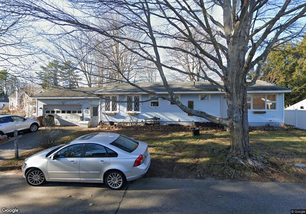
7 Labonte Ave W Saco, ME 04072
Central Saco NeighborhoodEstimated Value: $411,000 - $462,000
3
Beds
1
Bath
1,448
Sq Ft
$296/Sq Ft
Est. Value
About This Home
This home is located at 7 Labonte Ave W, Saco, ME 04072 and is currently estimated at $428,718, approximately $296 per square foot. 7 Labonte Ave W is a home located in York County with nearby schools including C K Burns School, Saco Middle School, and Saint James School.
Ownership History
Date
Name
Owned For
Owner Type
Purchase Details
Closed on
Jul 10, 2007
Sold by
Provost Penny A
Bought by
Mccarron Sherry A and Mccarron Kevin M
Current Estimated Value
Home Financials for this Owner
Home Financials are based on the most recent Mortgage that was taken out on this home.
Original Mortgage
$227,283
Outstanding Balance
$141,241
Interest Rate
6.39%
Mortgage Type
Purchase Money Mortgage
Estimated Equity
$287,477
Purchase Details
Closed on
Mar 8, 2006
Sold by
Labonte Claire M
Bought by
Provost Penny A
Create a Home Valuation Report for This Property
The Home Valuation Report is an in-depth analysis detailing your home's value as well as a comparison with similar homes in the area
Home Values in the Area
Average Home Value in this Area
Purchase History
| Date | Buyer | Sale Price | Title Company |
|---|---|---|---|
| Mccarron Sherry A | -- | -- | |
| Provost Penny A | -- | -- |
Source: Public Records
Mortgage History
| Date | Status | Borrower | Loan Amount |
|---|---|---|---|
| Open | Mccarron Sherry A | $227,283 |
Source: Public Records
Tax History Compared to Growth
Tax History
| Year | Tax Paid | Tax Assessment Tax Assessment Total Assessment is a certain percentage of the fair market value that is determined by local assessors to be the total taxable value of land and additions on the property. | Land | Improvement |
|---|---|---|---|---|
| 2024 | $4,417 | $314,400 | $118,700 | $195,700 |
| 2023 | $4,637 | $314,400 | $118,700 | $195,700 |
| 2022 | $4,181 | $228,100 | $90,500 | $137,600 |
| 2021 | $4,012 | $212,500 | $80,700 | $131,800 |
| 2020 | $3,788 | $192,600 | $71,000 | $121,600 |
| 2019 | $3,733 | $192,600 | $71,000 | $121,600 |
| 2018 | $3,587 | $186,200 | $64,600 | $121,600 |
| 2017 | $3,603 | $185,900 | $64,600 | $121,300 |
| 2016 | $3,587 | $184,700 | $60,700 | $124,000 |
| 2015 | $3,506 | $182,400 | $60,000 | $122,400 |
| 2014 | $3,396 | $182,400 | $60,000 | $122,400 |
| 2013 | $3,389 | $182,400 | $60,000 | $122,400 |
Source: Public Records
Map
Nearby Homes
- 3 Cantara Ave
- 52 Maple St
- 32 Park St
- 224 North St Unit 102
- 7 Hubbard St
- 12 Shadagee Rd
- 39 Skyline Dr
- 242 Lincoln St
- 20 Village Green Dr
- 24 Roebuck Ave
- 48 Garfield St Unit 9
- 00 Sawyer St
- 143 Pleasant St
- 31 Bonython Ave
- 3 Industrial Park Rd
- 4 Westward Ln
- 8 Nottingham Dr
- 6 Maple St
- 20 Hooper St
- 20 Upper Falls Rd Unit 501