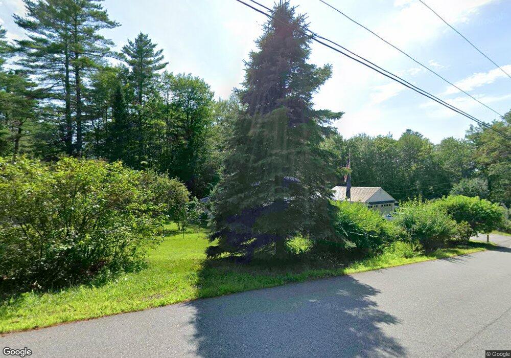
7 Labrie Ln Greene, ME 04236
Estimated Value: $303,000 - $340,054
1
Bed
1
Bath
640
Sq Ft
$502/Sq Ft
Est. Value
About This Home
This home is located at 7 Labrie Ln, Greene, ME 04236 and is currently estimated at $321,527, approximately $502 per square foot. 7 Labrie Ln is a home located in Androscoggin County with nearby schools including Tripp Middle School, Leavitt Area High School, and Fellowship Christian Academy.
Ownership History
Date
Name
Owned For
Owner Type
Purchase Details
Closed on
Sep 5, 2023
Sold by
Wrzesien Agnieszka and Wrzesien Tomasz
Bought by
Losiowka T T and Losiowka Wrzesien
Current Estimated Value
Purchase Details
Closed on
Oct 31, 2022
Sold by
Moxxe Enterprises Llc
Bought by
Wrzesien Agnieszka and Wrzesien Tomasz
Purchase Details
Closed on
Aug 4, 2021
Sold by
Bennett David and Bennett Roxanne
Bought by
Moxxe Enterprises Llc
Home Financials for this Owner
Home Financials are based on the most recent Mortgage that was taken out on this home.
Original Mortgage
$210,000
Interest Rate
3%
Mortgage Type
Purchase Money Mortgage
Create a Home Valuation Report for This Property
The Home Valuation Report is an in-depth analysis detailing your home's value as well as a comparison with similar homes in the area
Home Values in the Area
Average Home Value in this Area
Purchase History
| Date | Buyer | Sale Price | Title Company |
|---|---|---|---|
| Losiowka T T | -- | None Available | |
| Wrzesien Agnieszka | $265,000 | None Available | |
| Wrzesien Agnieszka | $265,000 | None Available | |
| Moxxe Enterprises Llc | -- | None Available | |
| Moxxe Enterprises Llc | -- | None Available |
Source: Public Records
Mortgage History
| Date | Status | Borrower | Loan Amount |
|---|---|---|---|
| Previous Owner | Moxxe Enterprises Llc | $210,000 |
Source: Public Records
Tax History Compared to Growth
Tax History
| Year | Tax Paid | Tax Assessment Tax Assessment Total Assessment is a certain percentage of the fair market value that is determined by local assessors to be the total taxable value of land and additions on the property. | Land | Improvement |
|---|---|---|---|---|
| 2024 | $2,360 | $121,000 | $93,300 | $27,700 |
| 2023 | $2,360 | $121,000 | $93,300 | $27,700 |
| 2022 | $2,118 | $119,000 | $93,300 | $25,700 |
| 2021 | $2,035 | $119,000 | $93,300 | $25,700 |
| 2020 | $2,291 | $119,000 | $93,300 | $25,700 |
| 2019 | $1,928 | $119,000 | $93,300 | $25,700 |
| 2018 | $1,766 | $112,200 | $93,300 | $18,900 |
| 2017 | $1,730 | $112,200 | $93,300 | $18,900 |
| 2016 | $2,158 | $112,200 | $93,300 | $18,900 |
| 2015 | $1,600 | $112,200 | $93,300 | $18,900 |
| 2014 | $1,517 | $112,200 | $93,300 | $18,900 |
| 2013 | $1,492 | $112,200 | $93,300 | $18,900 |
Source: Public Records
Map
Nearby Homes
- 63 Barnard Cove Rd
- 147 Greene St
- 49 Hemlock St
- 63 Riley Rd
- 18 Waters Edge Dr
- 245 Lane Rd
- 29 Pond Ridge Dr
- 6 Pond Ridge Dr
- 148 School Rd
- 32 Shelby Ln
- 18 Terrace View
- 66 S South Hatch Hill Rd
- 47 Hillside Dr
- 11 Tammy Ln
- 253 Bull Run Rd
- 63 Centre Rd
- 63 Hillside Dr
- 7 Toby Place
- 41 Hidden Pond Rd
- 11 Shady Ln