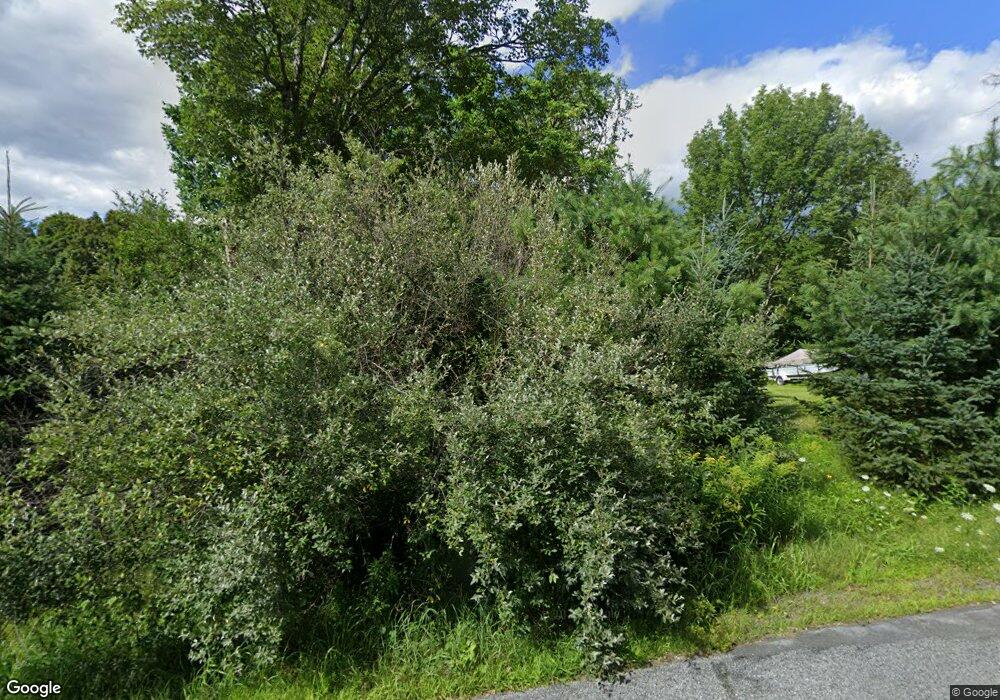
7 Ladd Rd Hanover, NH 03755
Estimated Value: $1,122,000 - $1,411,573
4
Beds
4
Baths
2,720
Sq Ft
$468/Sq Ft
Est. Value
About This Home
This home is located at 7 Ladd Rd, Hanover, NH 03755 and is currently estimated at $1,273,643, approximately $468 per square foot. 7 Ladd Rd is a home with nearby schools including Bernice A. Ray School, Frances C. Richmond School, and Hanover High School.
Ownership History
Date
Name
Owned For
Owner Type
Purchase Details
Closed on
May 30, 2014
Sold by
Homestead Rt
Bought by
Hall Corey W and Langan-Hall Maureen C
Current Estimated Value
Home Financials for this Owner
Home Financials are based on the most recent Mortgage that was taken out on this home.
Original Mortgage
$605,500
Interest Rate
4.26%
Mortgage Type
Purchase Money Mortgage
Purchase Details
Closed on
Jul 28, 2000
Sold by
Hauri Debbie Jo
Bought by
Homestead Rt
Home Financials for this Owner
Home Financials are based on the most recent Mortgage that was taken out on this home.
Original Mortgage
$650,000
Interest Rate
8.18%
Create a Home Valuation Report for This Property
The Home Valuation Report is an in-depth analysis detailing your home's value as well as a comparison with similar homes in the area
Home Values in the Area
Average Home Value in this Area
Purchase History
| Date | Buyer | Sale Price | Title Company |
|---|---|---|---|
| Hall Corey W | $150,000 | -- | |
| Homestead Rt | $60,000 | -- |
Source: Public Records
Mortgage History
| Date | Status | Borrower | Loan Amount |
|---|---|---|---|
| Open | Homestead Rt | $595,000 | |
| Closed | Homestead Rt | $605,500 | |
| Closed | Homestead Rt | $274,388 | |
| Previous Owner | Homestead Rt | $650,000 |
Source: Public Records
Tax History Compared to Growth
Tax History
| Year | Tax Paid | Tax Assessment Tax Assessment Total Assessment is a certain percentage of the fair market value that is determined by local assessors to be the total taxable value of land and additions on the property. | Land | Improvement |
|---|---|---|---|---|
| 2024 | $17,812 | $932,559 | $273,459 | $659,100 |
| 2023 | $17,148 | $932,958 | $273,858 | $659,100 |
| 2022 | $16,467 | $932,964 | $273,864 | $659,100 |
| 2021 | $16,299 | $932,977 | $273,877 | $659,100 |
| 2020 | $16,745 | $835,976 | $199,176 | $636,800 |
| 2019 | $16,636 | $841,894 | $205,094 | $636,800 |
| 2018 | $16,258 | $852,974 | $215,774 | $637,200 |
| 2017 | $14,334 | $667,300 | $161,800 | $505,500 |
| 2016 | $14,215 | $674,000 | $161,800 | $512,200 |
| 2015 | $13,049 | $631,300 | $161,800 | $469,500 |
| 2014 | $12,474 | $631,300 | $161,800 | $469,500 |
| 2013 | $2,801 | $147,200 | $147,200 | $0 |
| 2012 | $2,706 | $149,200 | $149,200 | $0 |
Source: Public Records
Map
Nearby Homes
- 511 Dartmouth College Hwy
- 503 Dartmouth College Hwy
- 151 Sunset Rock Rd
- 154 Sunset Rock Rd
- 0 Manchester Dr Unit 26
- 86 Route 4a Unit 19U
- 86 Nh Route 4a Unit 8L
- 86 Nh Route 4a Unit 5U
- 86 Nh Route 4a Unit 6 Upper
- 147 Etna Rd
- 20 Alden Rd
- 510 Dartmouth College Hwy
- 430 Dartmouth College Hwy
- 262 Dartmouth College Hwy
- 153 Greensboro Rd
- 21 Evenchance Rd
- 120 Wolf Rd Unit 53
- 7 Flanders St
- 26 Parkhurst St
- 32 Bank St
- 5 Ladd Rd
- 4 Ladd Rd
- 0 Ladd Rd
- 6 Ladd Rd
- 5 Twin Brook Dr
- 43 Blueberry Hill Dr
- 3 Twin Brook Dr
- 1 Twin Brook Dr
- 3 Twin Brooks Dr
- 1 Ladd Rd
- 22 Blueberry Hill Dr
- 30 Blueberry Hill Dr
- 0 Westview Ln
- 0 Westview Ln Unit 4214436
- 0 Westview Ln Unit 4034887
- 0 Westview Ln Unit 2776627
- 0 Westview Ln Unit 4452844
- 0 Westview Ln Unit 4377805
- 0 Westview Ln Unit 2717722
- 0 Westview Ln Unit 4659355
