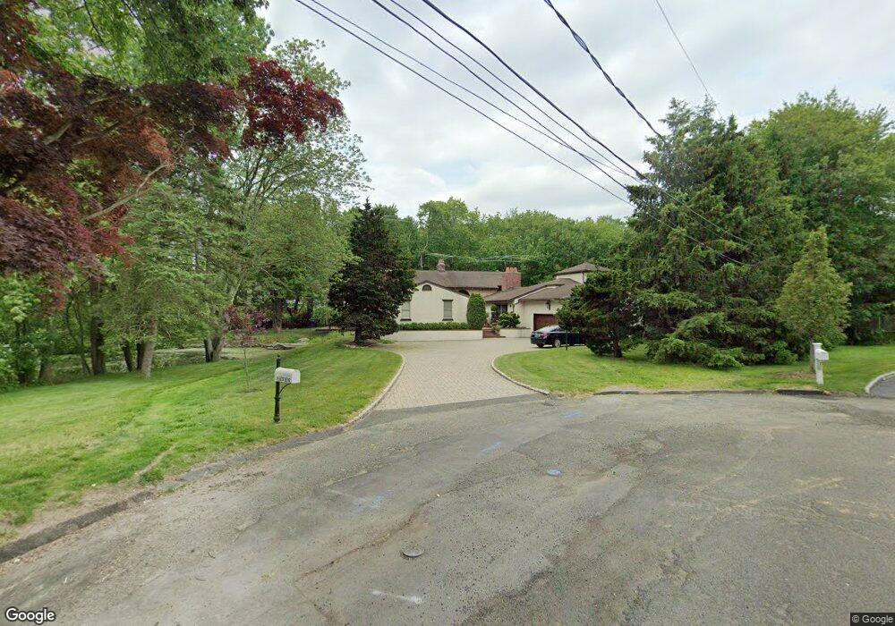
7 Lamplight Ln Westport, CT 06880
Compo NeighborhoodEstimated Value: $2,778,179 - $3,603,000
4
Beds
5
Baths
5,274
Sq Ft
$606/Sq Ft
Est. Value
About This Home
This home is located at 7 Lamplight Ln, Westport, CT 06880 and is currently estimated at $3,194,295, approximately $605 per square foot. 7 Lamplight Ln is a home located in Fairfield County with nearby schools including Green's Farms School, Bedford Middle School, and Staples High School.
Ownership History
Date
Name
Owned For
Owner Type
Purchase Details
Closed on
Dec 21, 2011
Sold by
Cunitz Jonathan A and Cunitz Hugette R
Bought by
Cunitz Jonathan A and Cunitz Hugette R
Current Estimated Value
Purchase Details
Closed on
Jun 15, 1979
Bought by
Cunitz Jonathan A and Cunitz Hugette R
Create a Home Valuation Report for This Property
The Home Valuation Report is an in-depth analysis detailing your home's value as well as a comparison with similar homes in the area
Home Values in the Area
Average Home Value in this Area
Purchase History
| Date | Buyer | Sale Price | Title Company |
|---|---|---|---|
| Cunitz Jonathan A | -- | -- | |
| Cunitz Jonathan A | -- | -- | |
| Cunitz Jonathan A | -- | -- |
Source: Public Records
Mortgage History
| Date | Status | Borrower | Loan Amount |
|---|---|---|---|
| Previous Owner | Cunitz Jonathan A | $300,000 |
Source: Public Records
Tax History Compared to Growth
Tax History
| Year | Tax Paid | Tax Assessment Tax Assessment Total Assessment is a certain percentage of the fair market value that is determined by local assessors to be the total taxable value of land and additions on the property. | Land | Improvement |
|---|---|---|---|---|
| 2025 | $19,784 | $1,049,000 | $524,100 | $524,900 |
| 2024 | $19,532 | $1,049,000 | $524,100 | $524,900 |
| 2023 | $19,249 | $1,049,000 | $524,100 | $524,900 |
| 2022 | $18,955 | $1,049,000 | $524,100 | $524,900 |
| 2021 | $6,043 | $1,049,000 | $524,100 | $524,900 |
| 2020 | $18,712 | $1,119,800 | $551,600 | $568,200 |
| 2019 | $5,850 | $1,119,800 | $551,600 | $568,200 |
| 2018 | $7,739 | $1,119,800 | $551,600 | $568,200 |
| 2017 | $7,596 | $1,119,800 | $551,600 | $568,200 |
| 2016 | $18,880 | $1,119,800 | $551,600 | $568,200 |
| 2015 | $18,544 | $1,025,100 | $464,100 | $561,000 |
| 2014 | $18,390 | $1,025,100 | $464,100 | $561,000 |
Source: Public Records
Map
Nearby Homes
- 33 Burnham Hill
- 4 Buena Vista Dr
- 195 Hillspoint Rd
- 11 Edgewater Hillside
- 18 Sherwood Dr
- 11 Sterling Dr
- 39 Compo Pkwy
- 216 Hillspoint Rd
- 2 Drumlin Rd
- 14 Mayflower Pkwy
- 48 Compo Mill Cove
- 61 Edgewater Commons Ln
- 46 Compo Mill Cove
- 46 Compo Mill Cove
- 260 Hillspoint Rd
- 22 Apple Tree Trail
- 109 Greens Farms Rd
- 179 Compo Rd S
- 171 Compo Rd S
- 171 & 169 Compo Rd S
- 10 Pond Edge Rd
- 9 Lamplight Ln
- 5 Lamplight Ln
- 38 Burnham Hill
- 8 Pond Edge Rd
- 42 Burnham Hill
- 10 Lamplight Ln
- 34 Burnham Hill
- 12 Lamplight Ln
- 14 Lamplight Ln
- 39 Burnham Hill
- 43 Burnham Hill
- 11 Pond Edge Rd
- 41 Burnham Hill
- 3 Lamplight Ln
- 9 Pond Edge Rd
- 32 Burnham Hill
- 7 Pond Edge Rd
- 8 Lamplight Ln
- 40 Jennie Ln