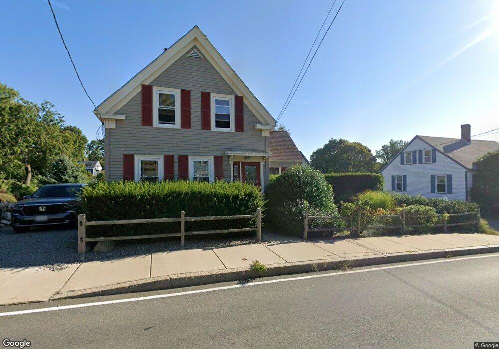
7 Langsford St Gloucester, MA 01930
Estimated Value: $673,000 - $859,000
2
Beds
2
Baths
1,176
Sq Ft
$626/Sq Ft
Est. Value
About This Home
This home is located at 7 Langsford St, Gloucester, MA 01930 and is currently estimated at $736,574, approximately $626 per square foot. 7 Langsford St is a home located in Essex County with nearby schools including Plum Cove School, Ralph B O'maley Middle School, and Gloucester High School.
Ownership History
Date
Name
Owned For
Owner Type
Purchase Details
Closed on
Sep 1, 1982
Bought by
Millhouse David and Millhouse Susan H
Current Estimated Value
Create a Home Valuation Report for This Property
The Home Valuation Report is an in-depth analysis detailing your home's value as well as a comparison with similar homes in the area
Purchase History
| Date | Buyer | Sale Price | Title Company |
|---|---|---|---|
| Millhouse David | $57,500 | -- |
Source: Public Records
Mortgage History
| Date | Status | Borrower | Loan Amount |
|---|---|---|---|
| Open | Millhouse David | $50,000 | |
| Open | Millhouse David | $110,000 | |
| Closed | Millhouse David | $16,000 | |
| Closed | Millhouse David | $114,000 |
Source: Public Records
Tax History
| Year | Tax Paid | Tax Assessment Tax Assessment Total Assessment is a certain percentage of the fair market value that is determined by local assessors to be the total taxable value of land and additions on the property. | Land | Improvement |
|---|---|---|---|---|
| 2025 | $5,350 | $550,400 | $236,100 | $314,300 |
| 2024 | $5,245 | $539,100 | $224,800 | $314,300 |
| 2023 | $5,030 | $475,000 | $200,700 | $274,300 |
| 2022 | $4,818 | $410,700 | $170,700 | $240,000 |
| 2021 | $4,645 | $373,400 | $155,100 | $218,300 |
| 2020 | $4,544 | $368,500 | $155,100 | $213,400 |
| 2019 | $4,351 | $342,900 | $155,100 | $187,800 |
| 2018 | $4,281 | $331,100 | $155,100 | $176,000 |
| 2017 | $4,148 | $314,500 | $147,800 | $166,700 |
| 2016 | $4,007 | $294,400 | $148,300 | $146,100 |
| 2015 | $3,863 | $283,000 | $148,300 | $134,700 |
Source: Public Records
Map
Nearby Homes
- 43 High St Unit B
- 10 Emerald St
- 1030 Washington St
- 9 Hickory St
- 4 Ciaramitaro Ct
- 136 Leonard St
- 94 Phillips Ave
- 13 Phillips Ave
- 32 Haven Ave
- 5 Boulder Top
- 33 Quarry Ridge Ln Unit 33
- 13 Rowe Point
- 5 Smith St Unit R
- 672 Washington St
- 1 Charte Ct
- 1 Main St Unit R
- 1 Main St Unit C
- 1 Jewett St Unit 2
- 177 Main St
- 1 High St
- 8 Langsford St
- 5 Langsford St
- 9 Langsford St
- 4 Langsford St
- 9 Andrews St
- 13 Langsford St
- 1092 Washington St
- 16 Langsford St
- 6 Langsford St
- 6 Langsford St Unit 1
- 6 Langsford St Unit 2
- 1096 Washington St
- 6R Langsford St
- 4 Old Farm Ln
- 1094 Washington St
- 1 Andrews St
- 2 Langsford St
- 15 Langsford St
- 12 Andrews St
- 1100 Washington St
Your Personal Tour Guide
Ask me questions while you tour the home.