Estimated Value: $424,483 - $477,000
2
Beds
3
Baths
1,360
Sq Ft
$325/Sq Ft
Est. Value
About This Home
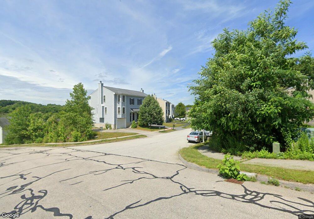
This home is located at 7 Lilac Ln, Worcester, MA 01607 and is currently estimated at $442,121, approximately $325 per square foot. 7 Lilac Ln is a home located in Worcester County with nearby schools including Quinsigamond School, Jacob Hiatt Magnet School, and Chandler Magnet.
Ownership History
Date
Name
Owned For
Owner Type
Purchase Details
Closed on
Mar 8, 2021
Sold by
Nichols Ft 2018
Bought by
Gilbert Robert A and Smyth Debborah E
Current Estimated Value
Home Financials for this Owner
Home Financials are based on the most recent Mortgage that was taken out on this home.
Original Mortgage
$280,516
Outstanding Balance
$251,463
Interest Rate
2.7%
Mortgage Type
Purchase Money Mortgage
Estimated Equity
$190,658
Purchase Details
Closed on
May 29, 2018
Sold by
Nichols Ann M
Bought by
Nichols Ft 2018
Purchase Details
Closed on
Nov 20, 2009
Sold by
Arboretum Village Llc
Bought by
Harrold Ann Marie
Home Financials for this Owner
Home Financials are based on the most recent Mortgage that was taken out on this home.
Original Mortgage
$176,955
Interest Rate
4.86%
Mortgage Type
Purchase Money Mortgage
Create a Home Valuation Report for This Property
The Home Valuation Report is an in-depth analysis detailing your home's value as well as a comparison with similar homes in the area
Home Values in the Area
Average Home Value in this Area
Purchase History
| Date | Buyer | Sale Price | Title Company |
|---|---|---|---|
| Gilbert Robert A | $295,280 | None Available | |
| Nichols Ft 2018 | -- | -- | |
| Harrold Ann Marie | $180,220 | -- |
Source: Public Records
Mortgage History
| Date | Status | Borrower | Loan Amount |
|---|---|---|---|
| Open | Gilbert Robert A | $280,516 | |
| Previous Owner | Harrold Ann Marie | $176,955 |
Source: Public Records
Tax History
| Year | Tax Paid | Tax Assessment Tax Assessment Total Assessment is a certain percentage of the fair market value that is determined by local assessors to be the total taxable value of land and additions on the property. | Land | Improvement |
|---|---|---|---|---|
| 2025 | $4,783 | $362,600 | $84,100 | $278,500 |
| 2024 | $4,568 | $332,200 | $84,100 | $248,100 |
| 2023 | $4,382 | $305,600 | $73,200 | $232,400 |
| 2022 | $3,991 | $262,400 | $58,600 | $203,800 |
| 2021 | $3,870 | $237,700 | $46,800 | $190,900 |
| 2020 | $3,803 | $223,700 | $46,800 | $176,900 |
| 2019 | $3,667 | $203,700 | $42,200 | $161,500 |
| 2018 | $3,665 | $193,800 | $42,200 | $151,600 |
| 2017 | $3,465 | $180,300 | $42,200 | $138,100 |
| 2016 | $3,444 | $167,100 | $31,900 | $135,200 |
| 2015 | $3,354 | $167,100 | $31,900 | $135,200 |
| 2014 | $3,265 | $167,100 | $31,900 | $135,200 |
Source: Public Records
Map
Nearby Homes
- 73 Sophia Dr
- 50 Sophia Dr
- 22 Bittersweet Blvd
- 6 Epworth St
- 6 Beckman St
- 29 Steele St
- 4 Stockholm St
- 50 Whipple St
- 30 Ekman St
- 1034 Southbridge St
- 49 Strasburg Rd
- 26 Maxwell St
- 154 Pakachoag St
- 3A Gediminas St
- 3 Payson St
- 204-212 Hampton St
- 407 Cambridge St Unit 1
- 607 Cambridge St Unit 4
- 74 Esther St
- 172 Perry Ave Unit 1A
Your Personal Tour Guide
Ask me questions while you tour the home.