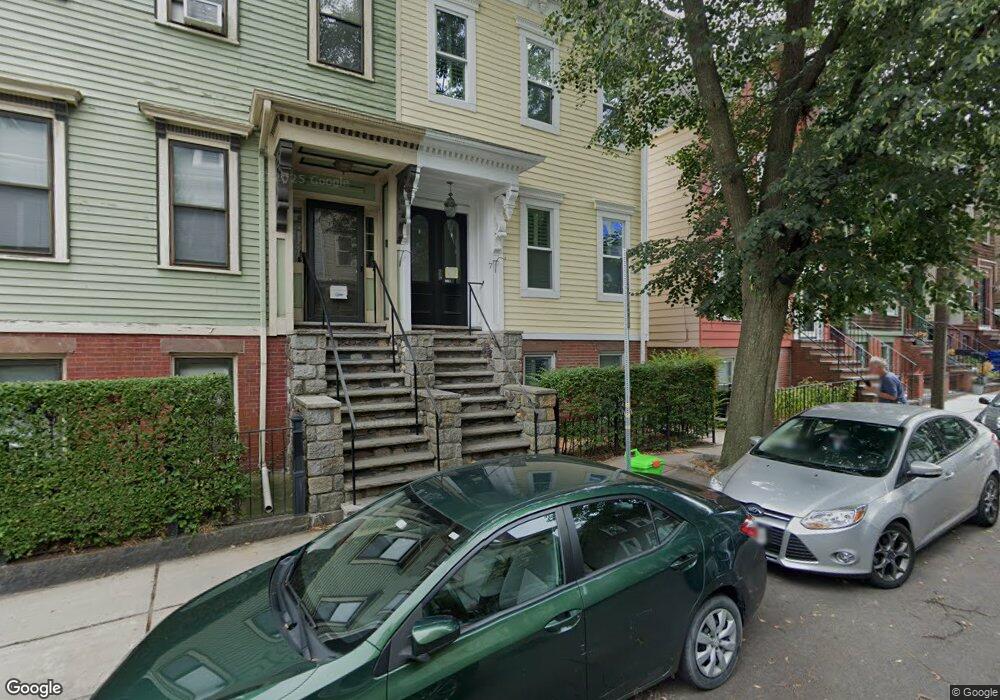
7 Linden St Unit 2S Boston, MA 02127
South Boston NeighborhoodEstimated Value: $1,211,339 - $1,496,000
3
Beds
2
Baths
--
Sq Ft
1,742
Sq Ft
About This Home
This home is located at 7 Linden St Unit 2S, Boston, MA 02127 and is currently estimated at $1,297,835. 7 Linden St Unit 2S is a home located in Suffolk County with nearby schools including Up Academy Charter School Of Boston, Gate of Heaven Elementary School, and St Peter Academy.
Ownership History
Date
Name
Owned For
Owner Type
Purchase Details
Closed on
May 9, 2005
Sold by
Carroll Coleen and Carroll Curtis R
Bought by
Picciano Lyndsay and Picciano Paul M
Current Estimated Value
Purchase Details
Closed on
May 26, 1995
Sold by
Owens Kenneth P and Owens Mary O
Bought by
Carroll Curtis R
Create a Home Valuation Report for This Property
The Home Valuation Report is an in-depth analysis detailing your home's value as well as a comparison with similar homes in the area
Home Values in the Area
Average Home Value in this Area
Purchase History
| Date | Buyer | Sale Price | Title Company |
|---|---|---|---|
| Picciano Lyndsay | $480,000 | -- | |
| Carroll Curtis R | $132,000 | -- |
Source: Public Records
Mortgage History
| Date | Status | Borrower | Loan Amount |
|---|---|---|---|
| Open | Carroll Curtis R | $395,000 | |
| Closed | Carroll Curtis R | $406,000 |
Source: Public Records
Tax History
| Year | Tax Paid | Tax Assessment Tax Assessment Total Assessment is a certain percentage of the fair market value that is determined by local assessors to be the total taxable value of land and additions on the property. | Land | Improvement |
|---|---|---|---|---|
| 2025 | $13,015 | $1,123,900 | $365,400 | $758,500 |
| 2024 | $12,979 | $1,190,700 | $340,600 | $850,100 |
| 2023 | $12,067 | $1,123,600 | $321,400 | $802,200 |
| 2022 | $11,213 | $1,030,600 | $294,800 | $735,800 |
| 2021 | $10,676 | $1,000,600 | $286,200 | $714,400 |
| 2020 | $9,177 | $869,000 | $282,100 | $586,900 |
| 2019 | $8,401 | $797,100 | $208,600 | $588,500 |
| 2018 | $7,959 | $759,400 | $208,600 | $550,800 |
| 2017 | $7,656 | $722,900 | $208,600 | $514,300 |
| 2016 | $6,915 | $628,600 | $208,600 | $420,000 |
| 2015 | $7,467 | $616,600 | $153,900 | $462,700 |
| 2014 | $5,198 | $413,200 | $149,400 | $263,800 |
Source: Public Records
Map
Nearby Homes
- 2 Pacific St
- 13 Pacific St
- 480 E 4th St Unit 3
- 480 W Broadway Unit 7
- 84 G St Unit 3
- 84 G St Unit PH
- 472 W Broadway Unit 201
- 472 W Broadway Unit 501
- 426 E 6th St Unit 1
- 457 W Broadway
- 457 W Broadway Unit 302
- 520 E Broadway Unit 1
- 520 E Broadway Unit 2
- 427 E 6th St Unit 3
- 35 Story St Unit 2
- 51-53 Story St Unit 1
- 269 Gold St Unit One
- 269 Gold St Unit 2
- 269 Gold St Unit 3
- 39 Dorchester St Unit 18
- 7 Linden St
- 7 Linden St Unit room
- 7 Linden St Unit C
- 7 Linden St Unit B
- 7 Linden St Unit 1
- 7 Linden St
- 7 Linden St Unit 2
- 7 Linden St Unit 7
- 7 Linden St Unit A
- 7 Linden St Unit D
- 7 Linden St Unit 4
- 7 Linden St Unit 8
- 7 Linden St Unit 2
- 7 Linden St Unit 6
- 7 Linden St Unit H
- 5 Linden St Unit 3
- 5 Linden St
- 5 Linden St Unit 5
- 5 Linden St Unit D
- 5 Linden St Unit B
Your Personal Tour Guide
Ask me questions while you tour the home.